CITYGRID
city archive
Why it looks like this
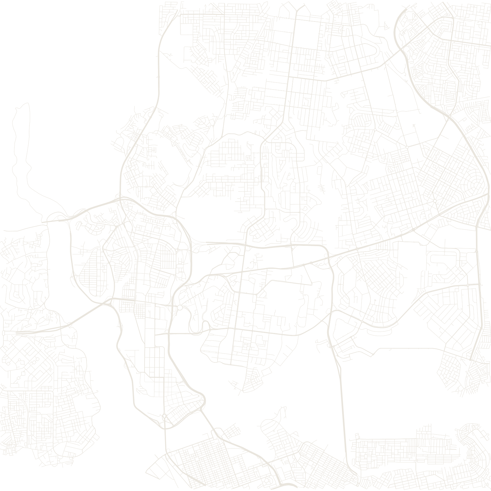
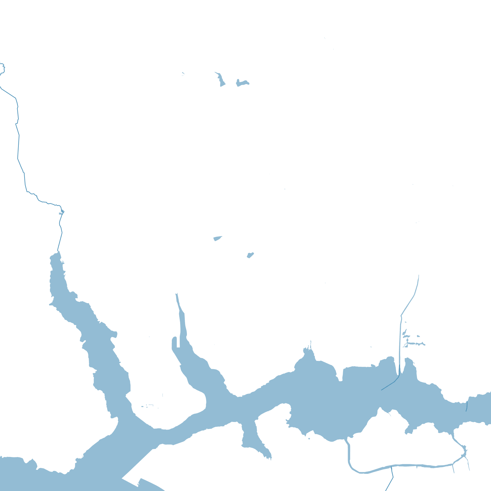
The map of Abidjan is really a map of the Ébrié Lagoon. The city grew on the fingers of land between its arms: the Plateau business district on one peninsula, Treichville and Marcory across the water, Cocody and Yopougon spreading out on either side. Every trip across town means a bridge.
The turning point came in 1950, when the French cut the Vridi Canal through the sandbar and joined the lagoon to the sea. Abidjan became a deep-water port almost overnight, and the quiet colonial town grew into the economic capital of West Africa's Ivory Coast.
1950Vridi Canal joined lagoon to sea
≈6 Mpeople in greater Abidjan