CITYGRID
city archive

Why it looks like this
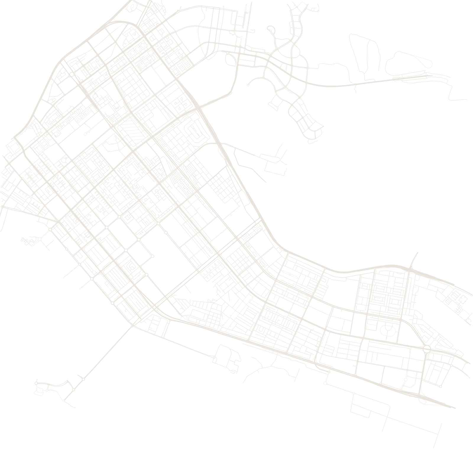
Until the 1960s, Abu Dhabi was a small pearling and fishing settlement on a low island. Then oil exports began, Sheikh Zayed took power in 1966, and the city was planned almost from zero: a grid of wide streets and large rectangular superblocks covering the island, with bridges linking it to the mainland.
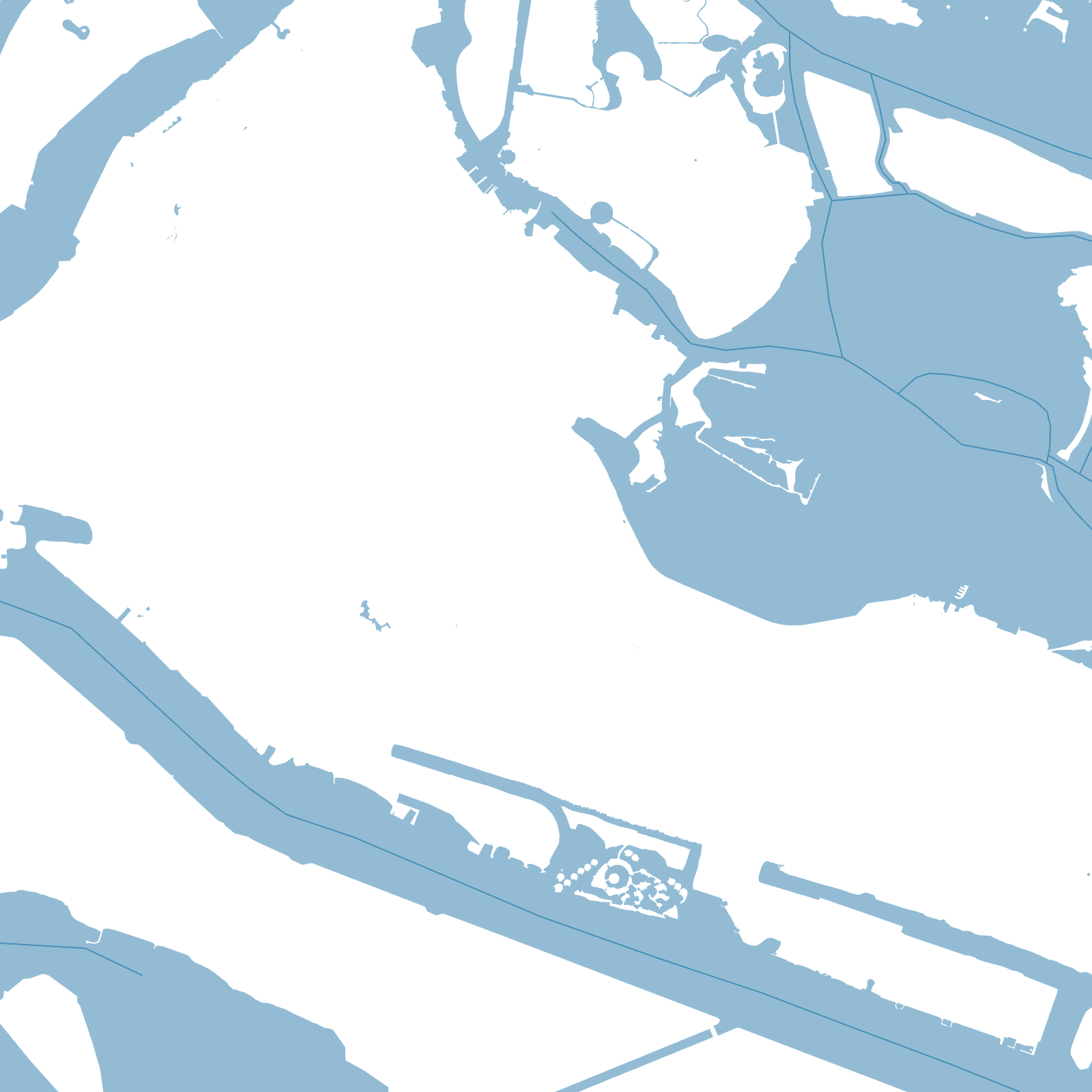
That is why the map looks so regular for a city in this region: there was no big old town to build around. The grid simply runs until it meets the sea on every side.
1966Sheikh Zayed takes power
1962first oil exports