CITYGRID
city archive
Why it looks like this
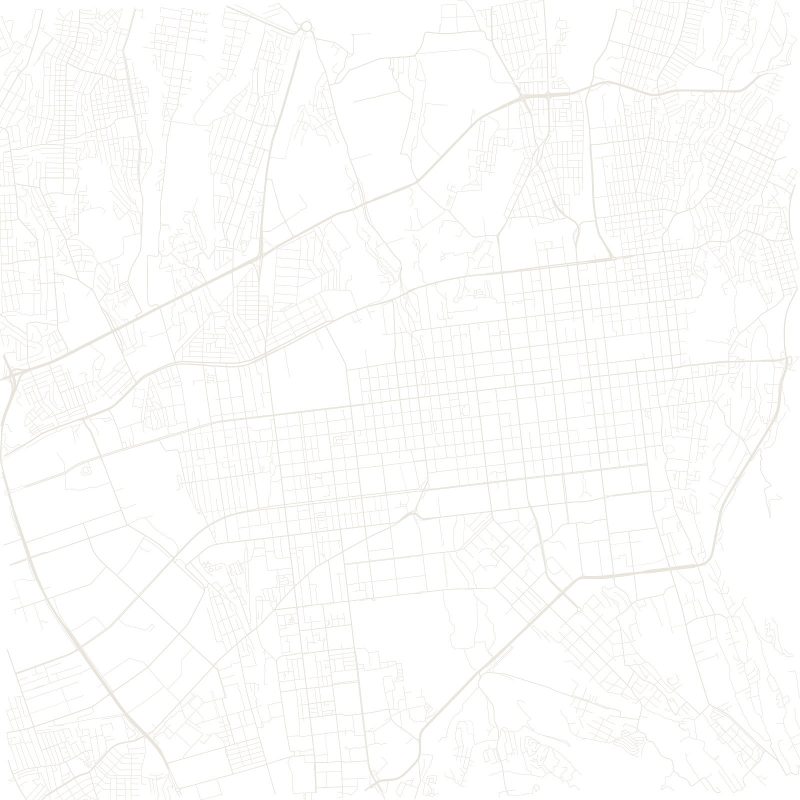
The city began in 1854 as Verniy, a Russian fort at the foot of the Trans-Ili Alatau range. The settlement around it was drawn as a simple grid — but the ground is a long mountain slope, so every north–south street tilts, and people navigate by 'up' (toward the mountains) and 'down' (toward the steppe).
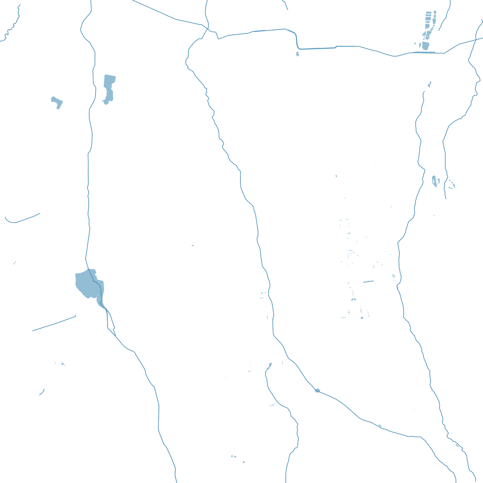
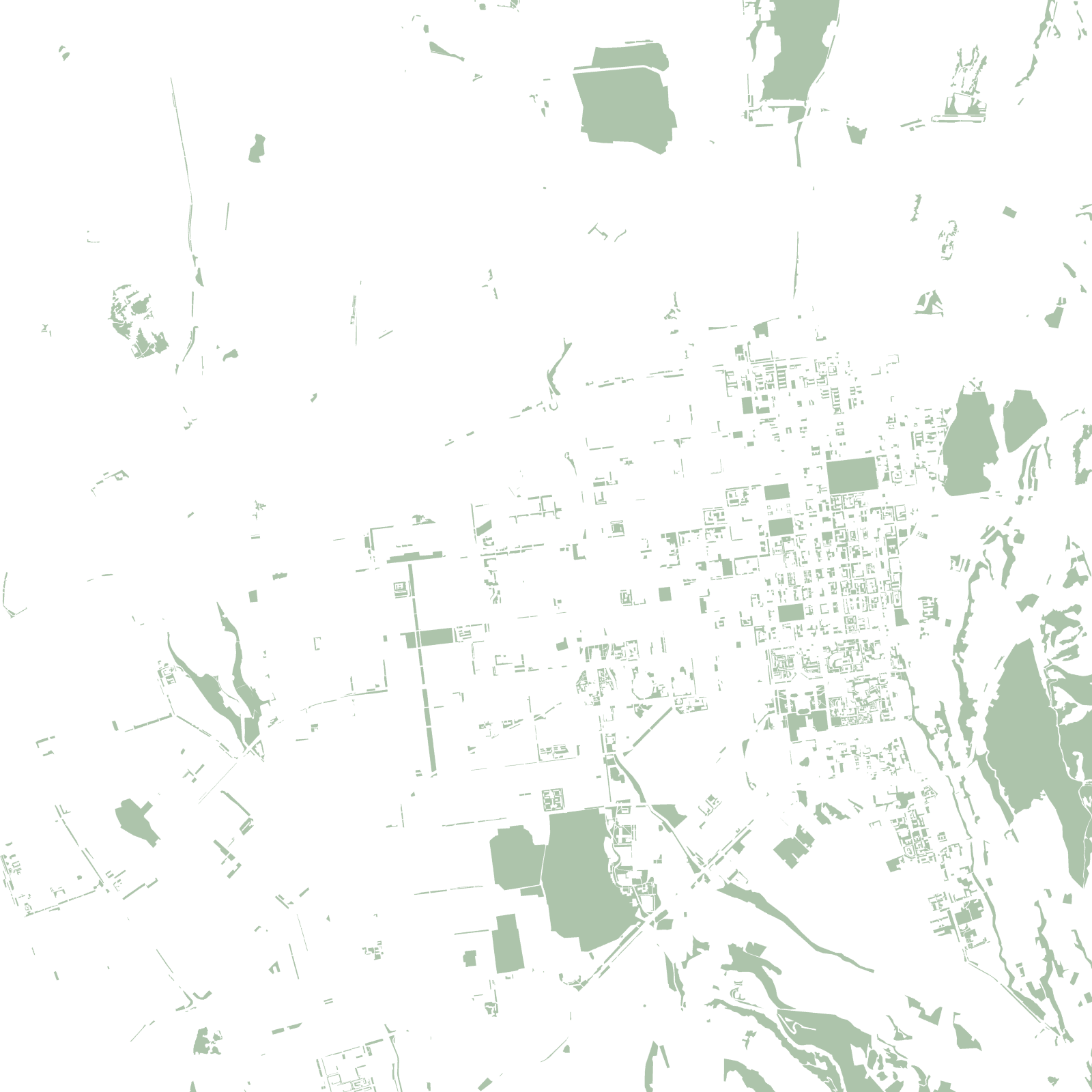
Earthquakes in 1887 and 1911 destroyed the young city twice, which is why the old quarters were rebuilt low, with wide green streets fed by mountain irrigation channels called aryks.
1854founded as Fort Verniy
2earthquakes that levelled it (1887, 1911)