CITYGRID
city archive
Why it looks like this
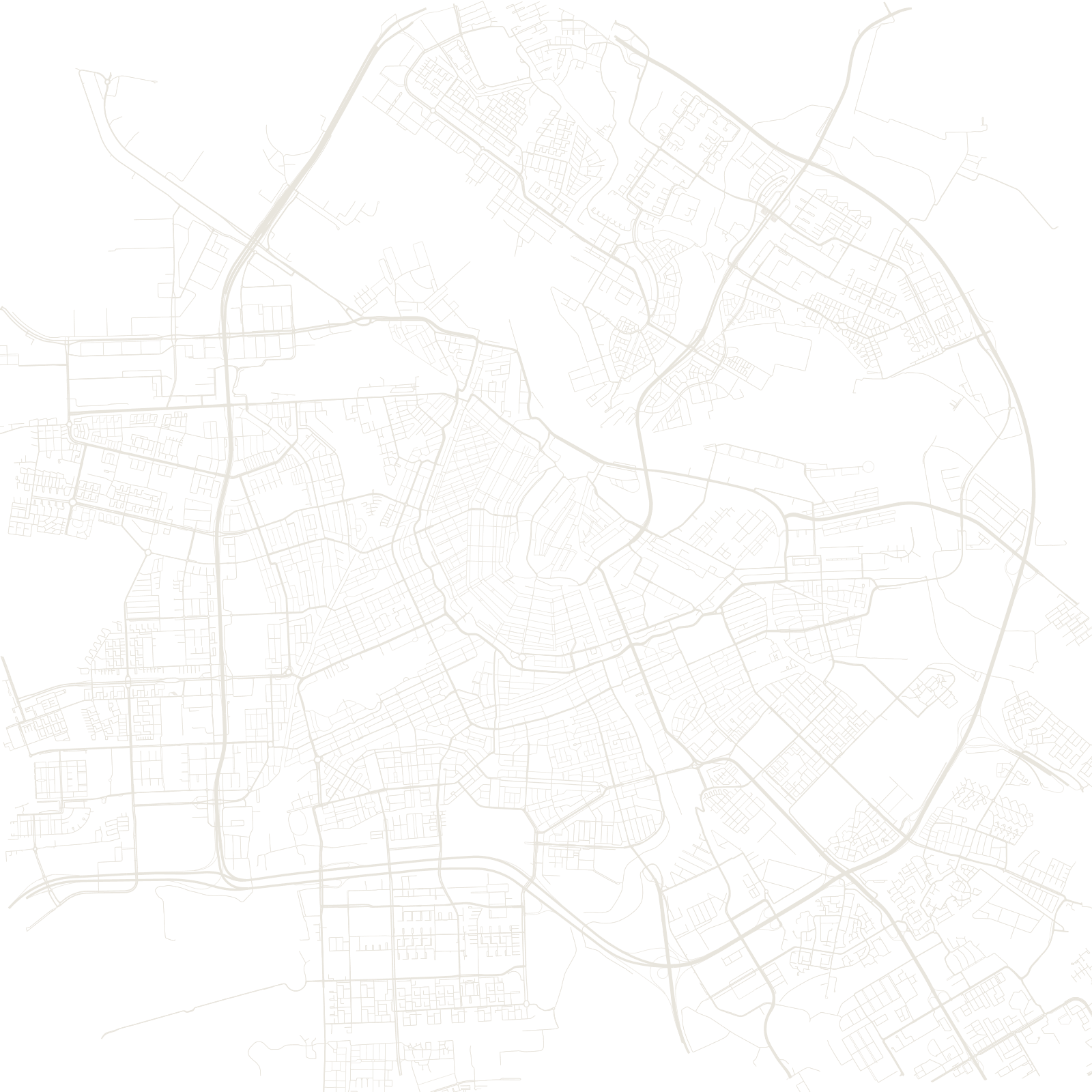
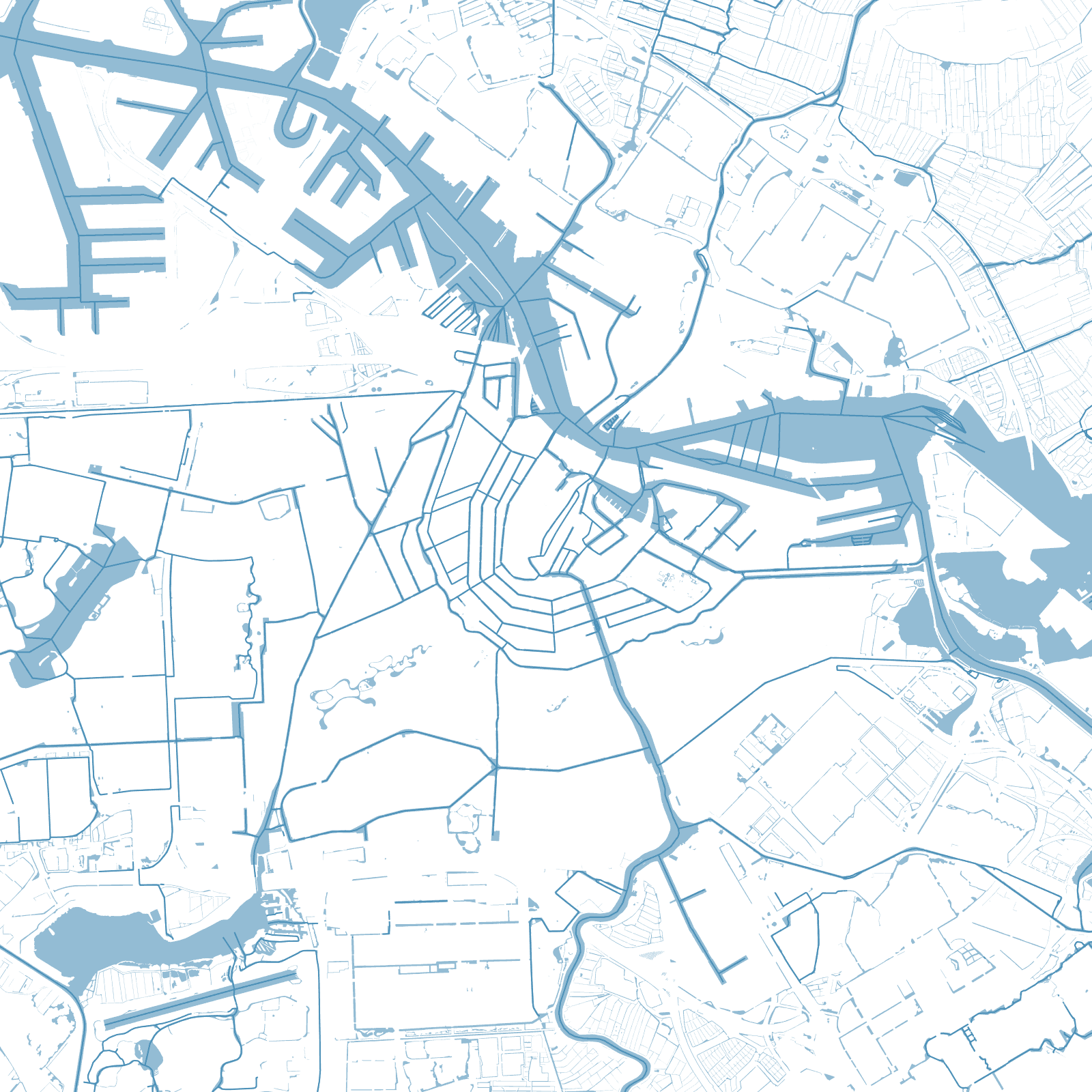
Amsterdam's half-moon shape is the Grachtengordel: three rings of canals dug outward from the old port in the 1600s, during the Dutch Golden Age. It was city planning as a business plan — the land was measured, divided and sold as building plots while the canals were still being dug.
The result is a city where water is the street grid. The narrow brick houses face the canals, not roads, and the whole ring has been a UNESCO World Heritage Site since 2010.
1613canal belt begun
165canals in the city
≈0.9 Mpopulation