CITYGRID
city archive


Why it looks like this
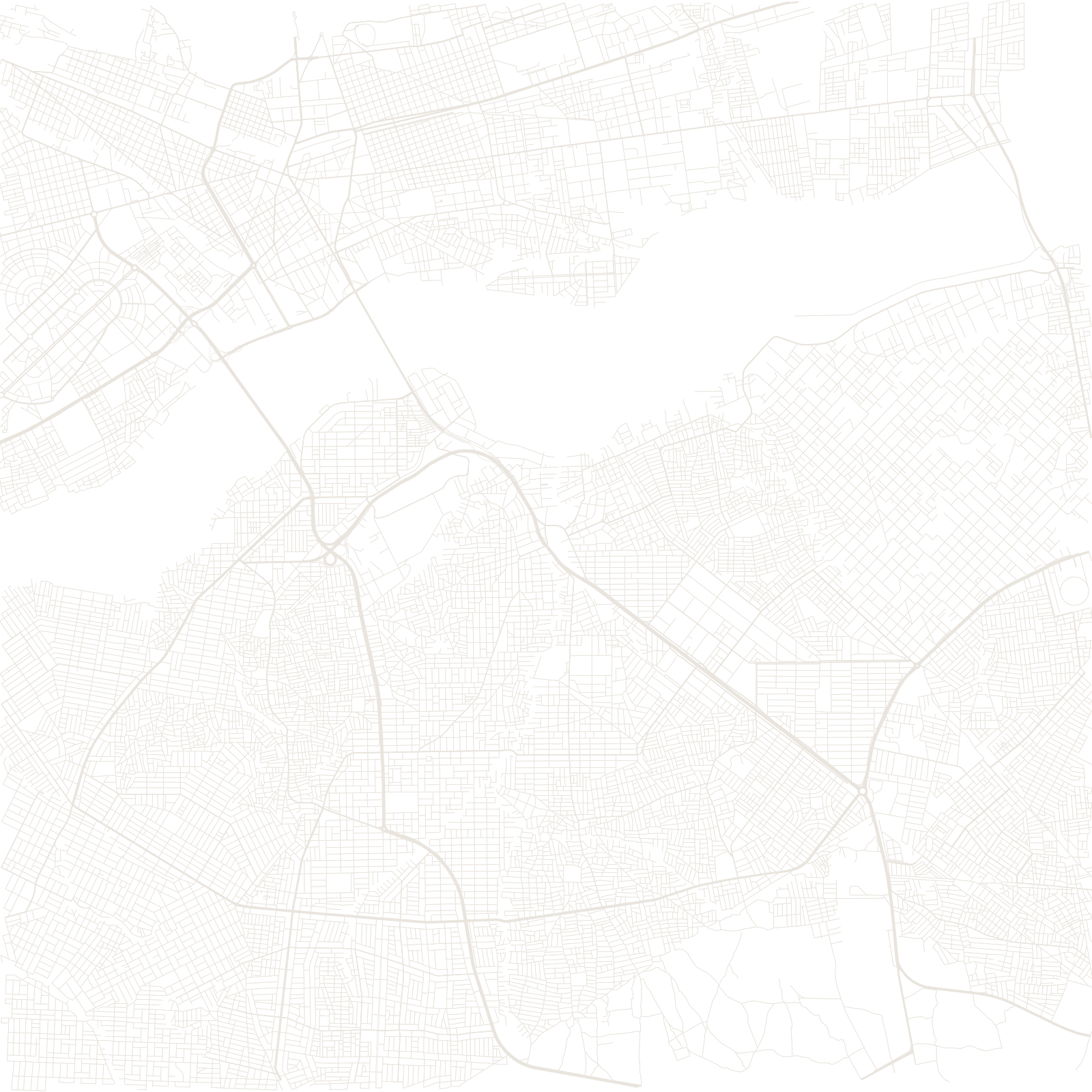
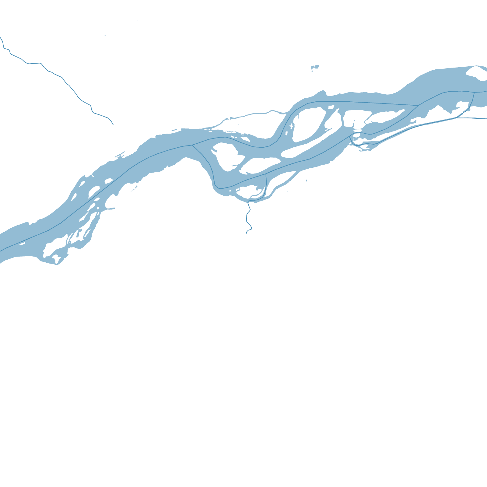
The French made Bamako the capital of their Sudan colony in 1908, laying a small grid between the Niger River and the rocky hills that block growth to the north. Squeezed on that shelf, the city spread along the river instead.
For most of its history everything important stayed on the north bank. Only a handful of bridges cross the wide Niger here, so the newer districts on the south bank grew around the bridgeheads — you can read each bridge's age in the streets that fan out from it.
1908made colonial capital
3bridges over the Niger