CITYGRID
city archive

Why it looks like this
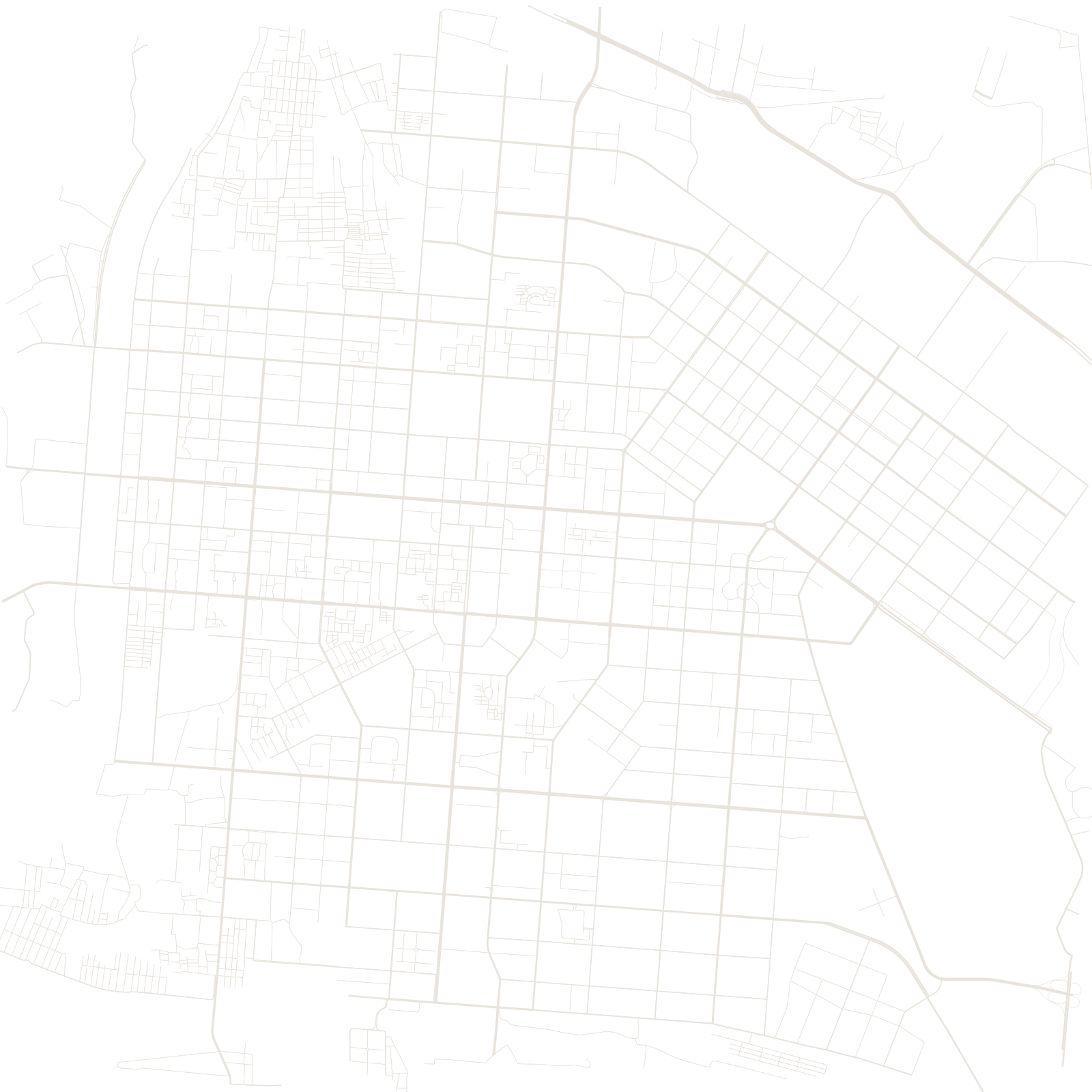
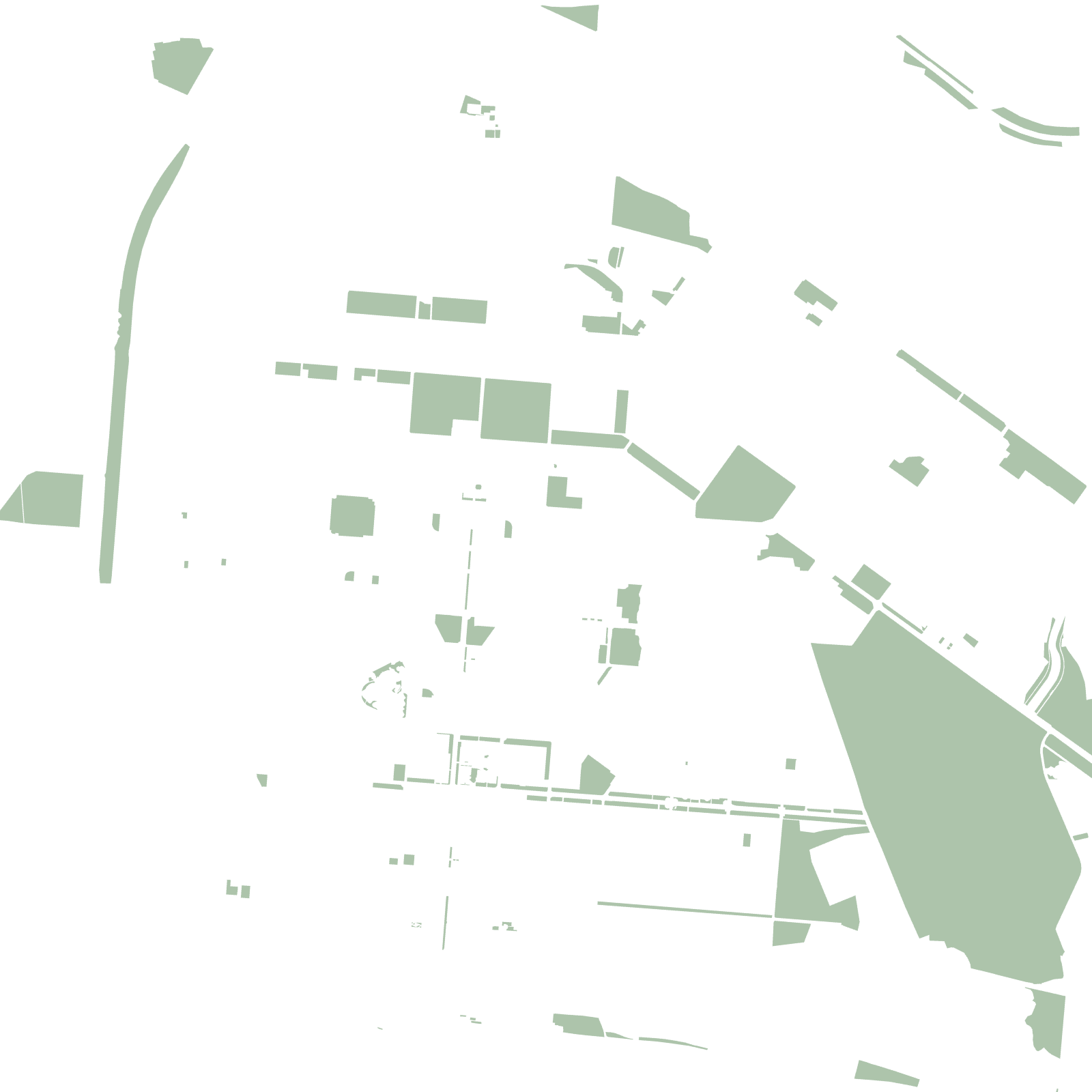
In the 1950s, China placed one of its great steel bases here in Inner Mongolia, on the north bend of the Yellow River, with Soviet advice on the plan. The result is textbook socialist planning: very wide, straight avenues, big square superblocks, and green belts separating the steelworks from the housing districts.
That is why the map shows several distinct patches of city with gaps between them — the old town, the planned steel city of Kundulun, and the industrial zones were each laid out as separate pieces.
1950splanned as a steel base