CITYGRID
city archive
Why it looks like this
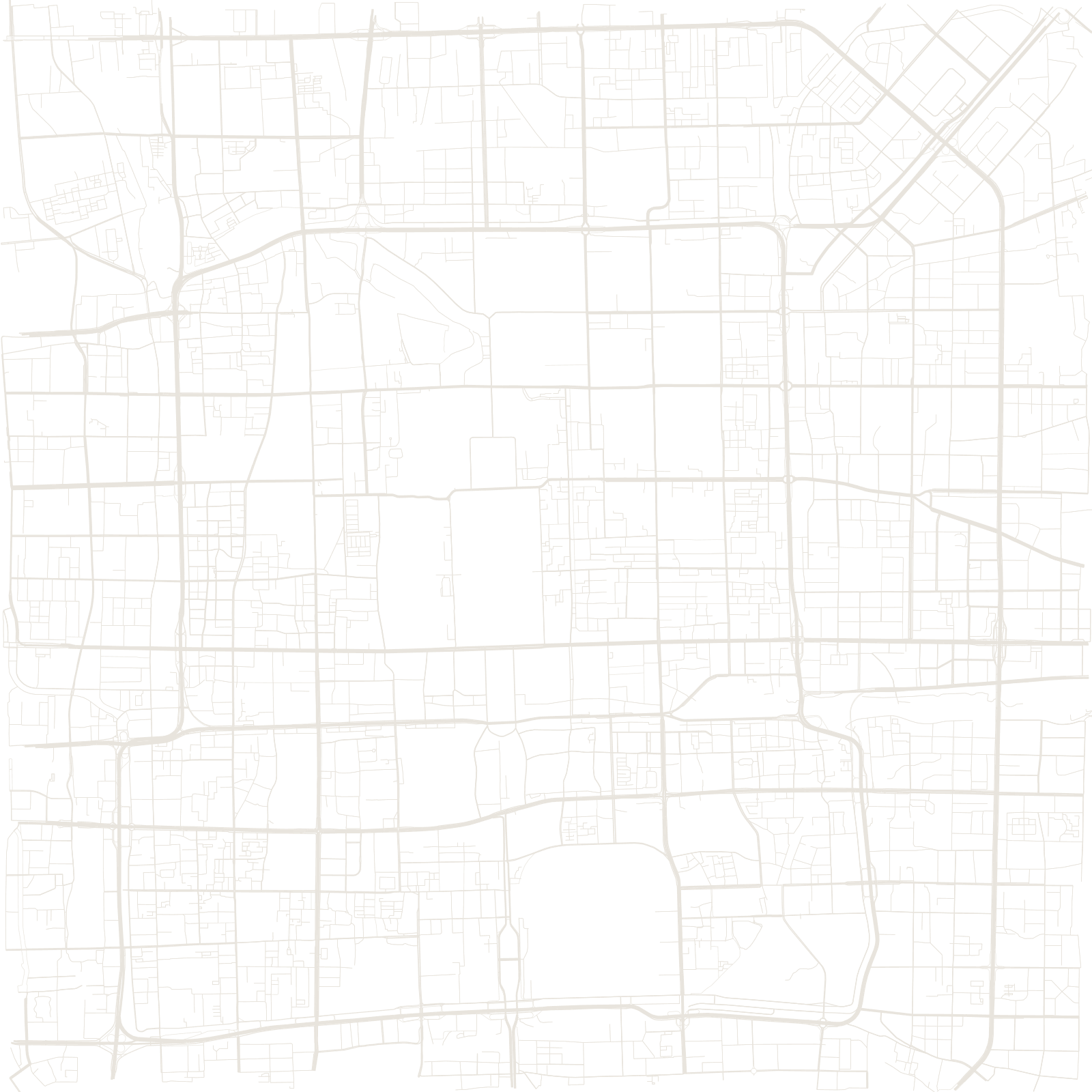
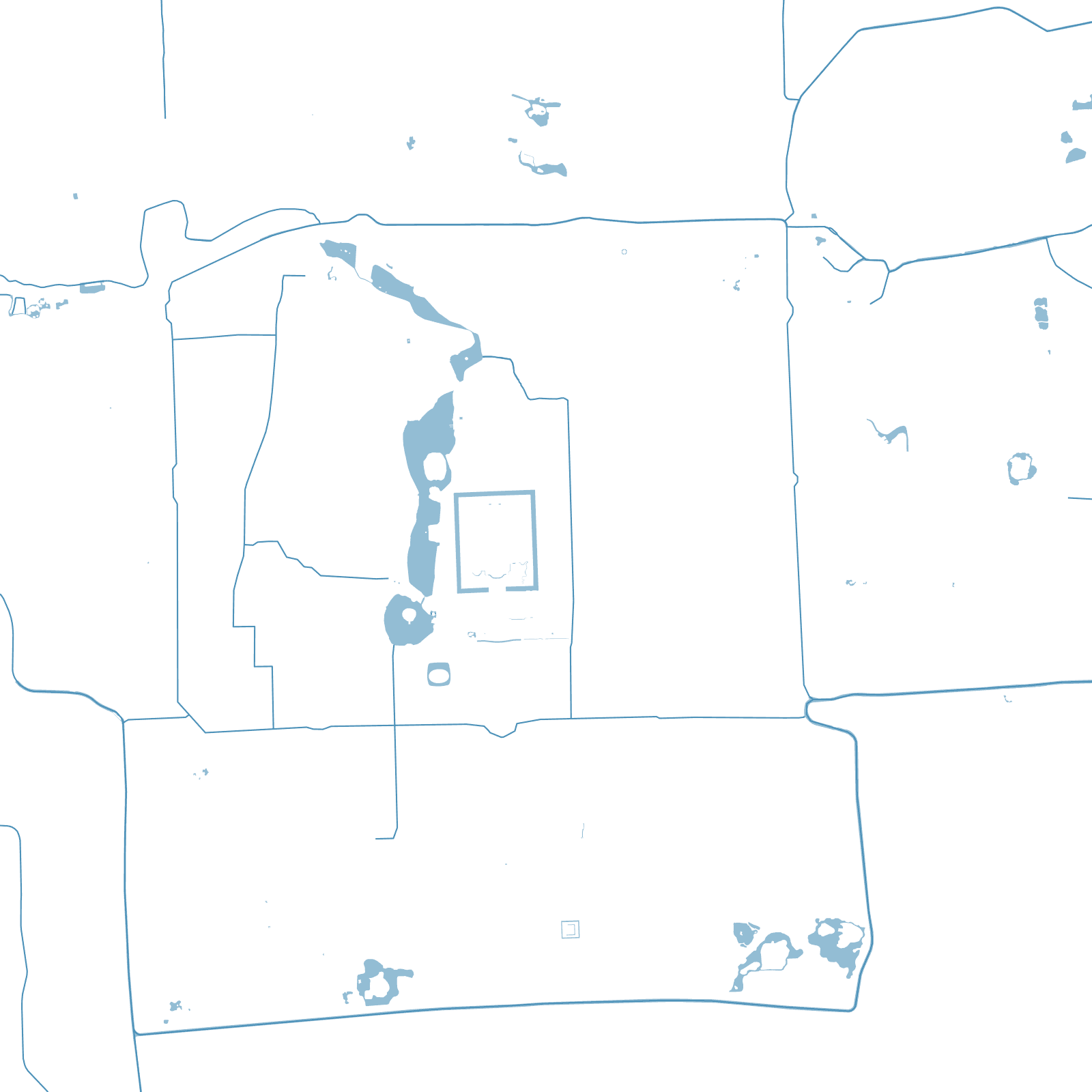
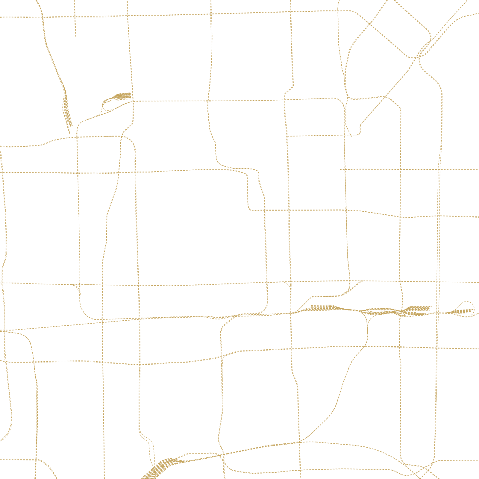
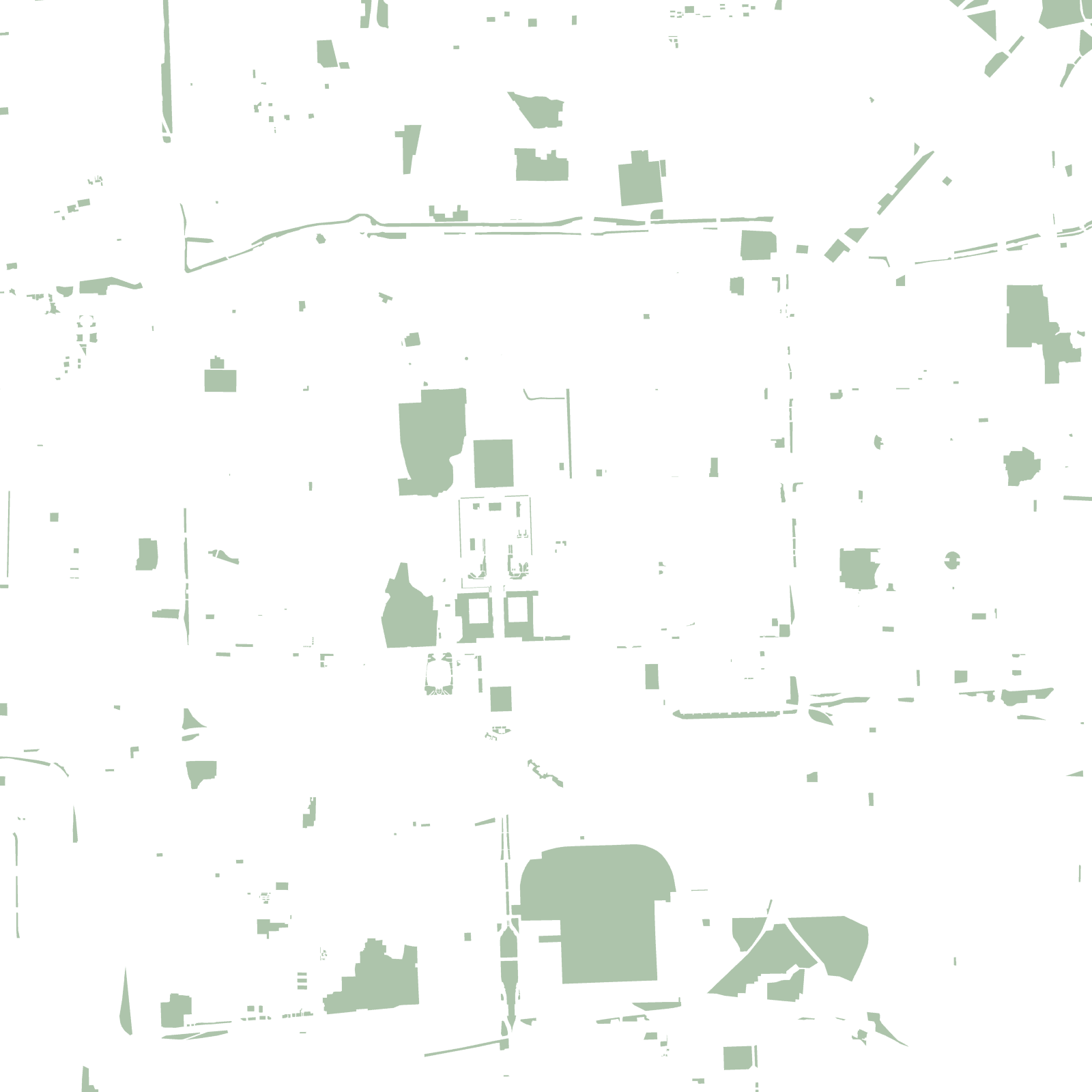
The plan is from 1267, when Kublai Khan's engineers laid out Dadu, the Yuan capital, as a giant compass-aligned rectangle. The Ming rebuilt it, but kept the idea: a central axis about 7.8 km long runs straight through the Forbidden City, and everything else lines up with it — from imperial gates down to the hutongs, the narrow grey-brick lanes.
The city walls were demolished in the 20th century, but they did not disappear: the 2nd Ring Road runs exactly where they stood, and each new ring — out to the 6th and beyond — repeats the old rectangle at a larger scale.
1267Yuan capital plan laid out
≈7.8 kmcentral axis, UNESCO listed 2024
2ndRing Road traces the old wall