CITYGRID
city archive


Why it looks like this
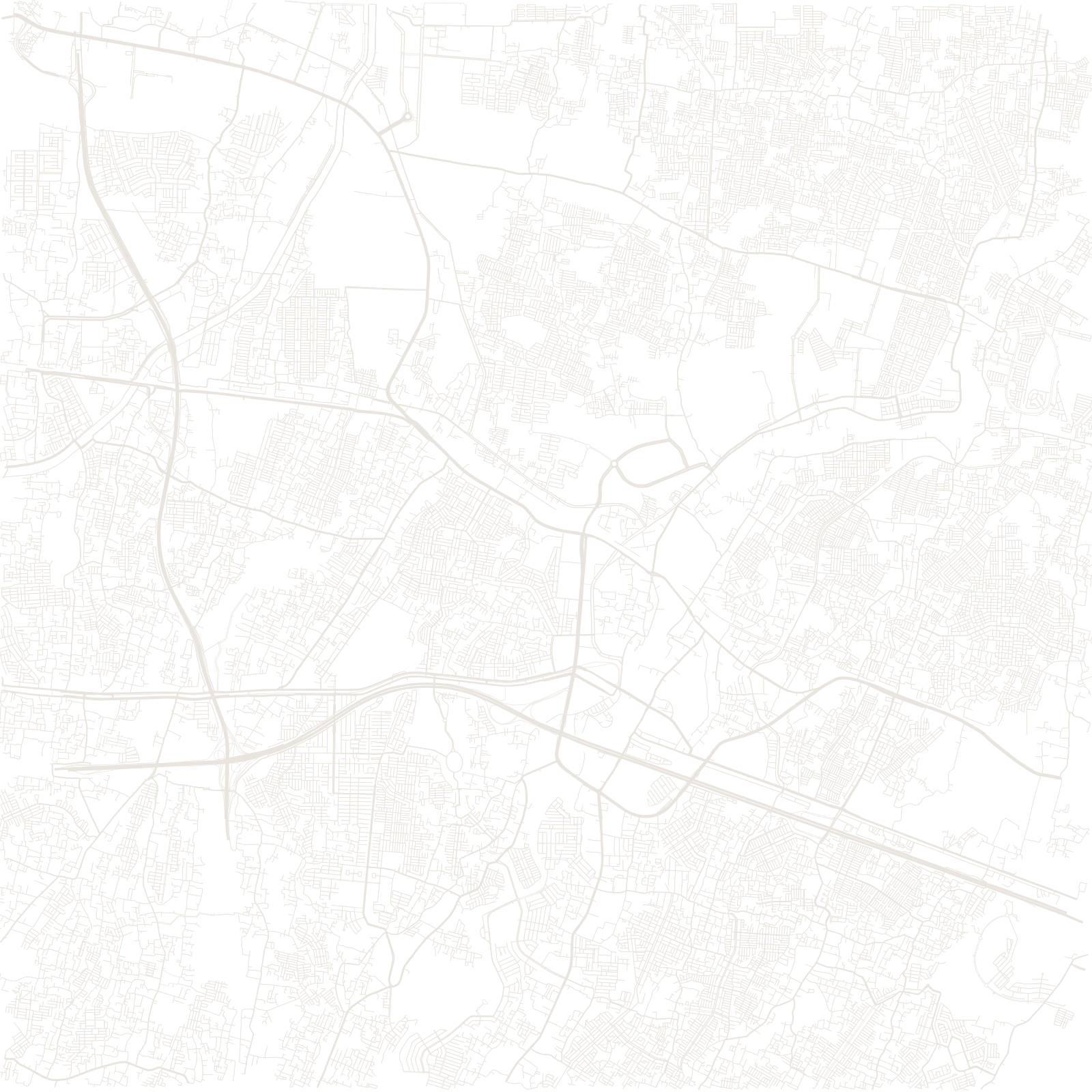
Bekasi sits directly east of Jakarta, and its growth follows the transport lines: the old railway and the modern toll road both run through it toward the capital, carrying hundreds of thousands of commuters.
The map is a patchwork made by that growth — large private housing estates and industrial parks, each with its own tidy internal street plan, dropped between the winding lanes of older kampung villages and rice-field roads.