CITYGRID
city archive
Why it looks like this
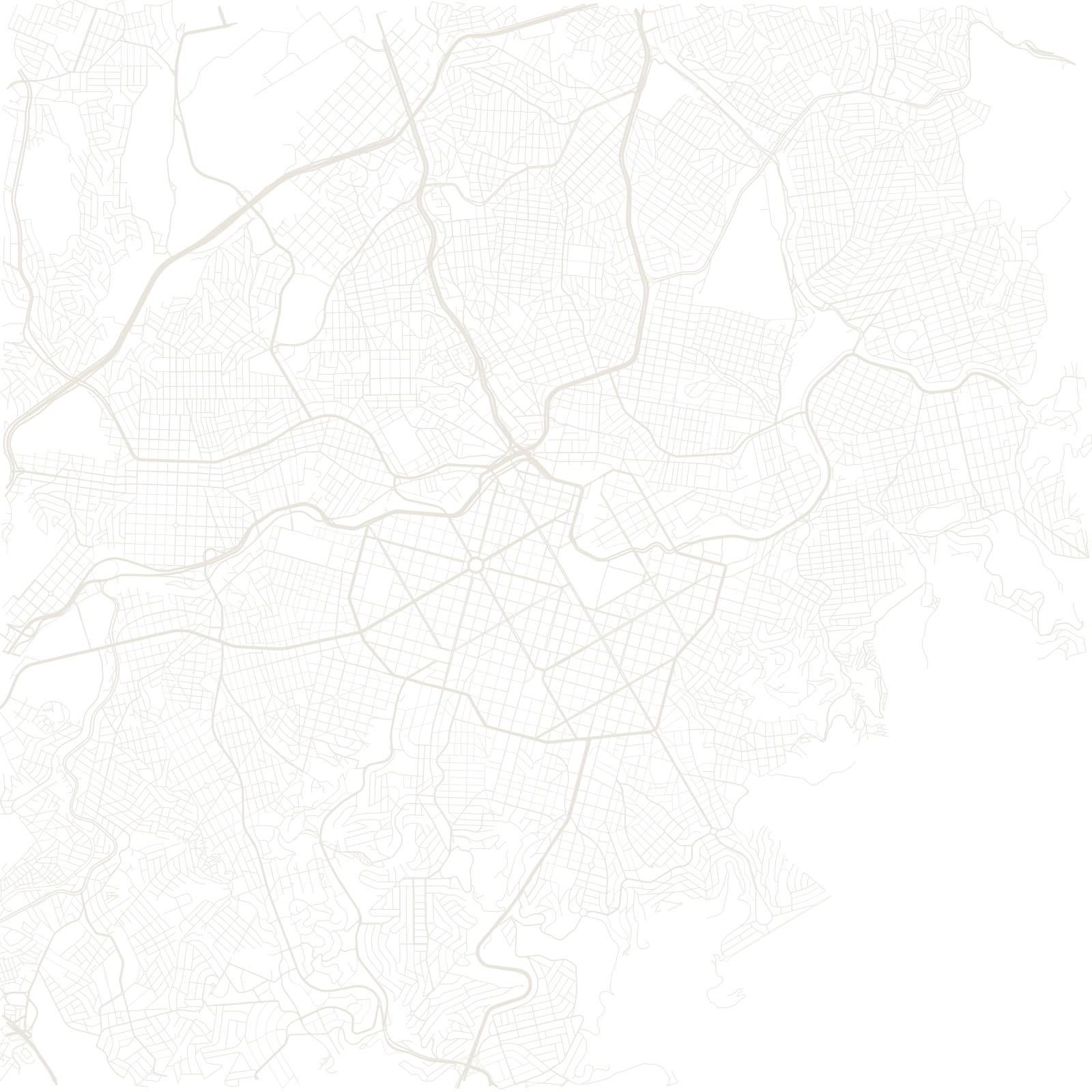
In the 1890s the state of Minas Gerais decided to replace its cramped colonial capital, Ouro Preto, with a brand-new city. Engineer Aarão Reis drew the plan: a strict grid of streets, overlaid with wide diagonal avenues, all contained inside a ring road, the Avenida do Contorno.
The plan only covered the area inside the ring. Outside it, the city grew without the geometry — so the map shows a sharp edge where the drawn city ends and ordinary hillside growth begins.
1897planned capital inaugurated