CITYGRID
city archive

Why it looks like this
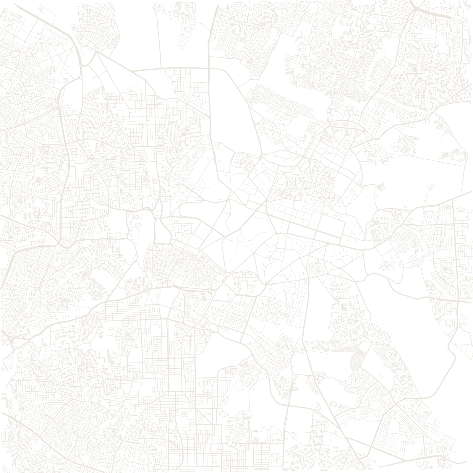
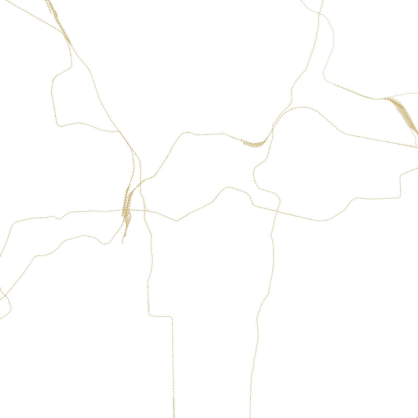
The city began in 1537, when the chieftain Kempe Gowda built a mud fort and laid out the pete — a market town whose crooked bazaar lanes still sit near the City Market. Three centuries later the British built their cantonment a few kilometres east, with parade grounds and straight roads; the two towns grew toward each other and merged.
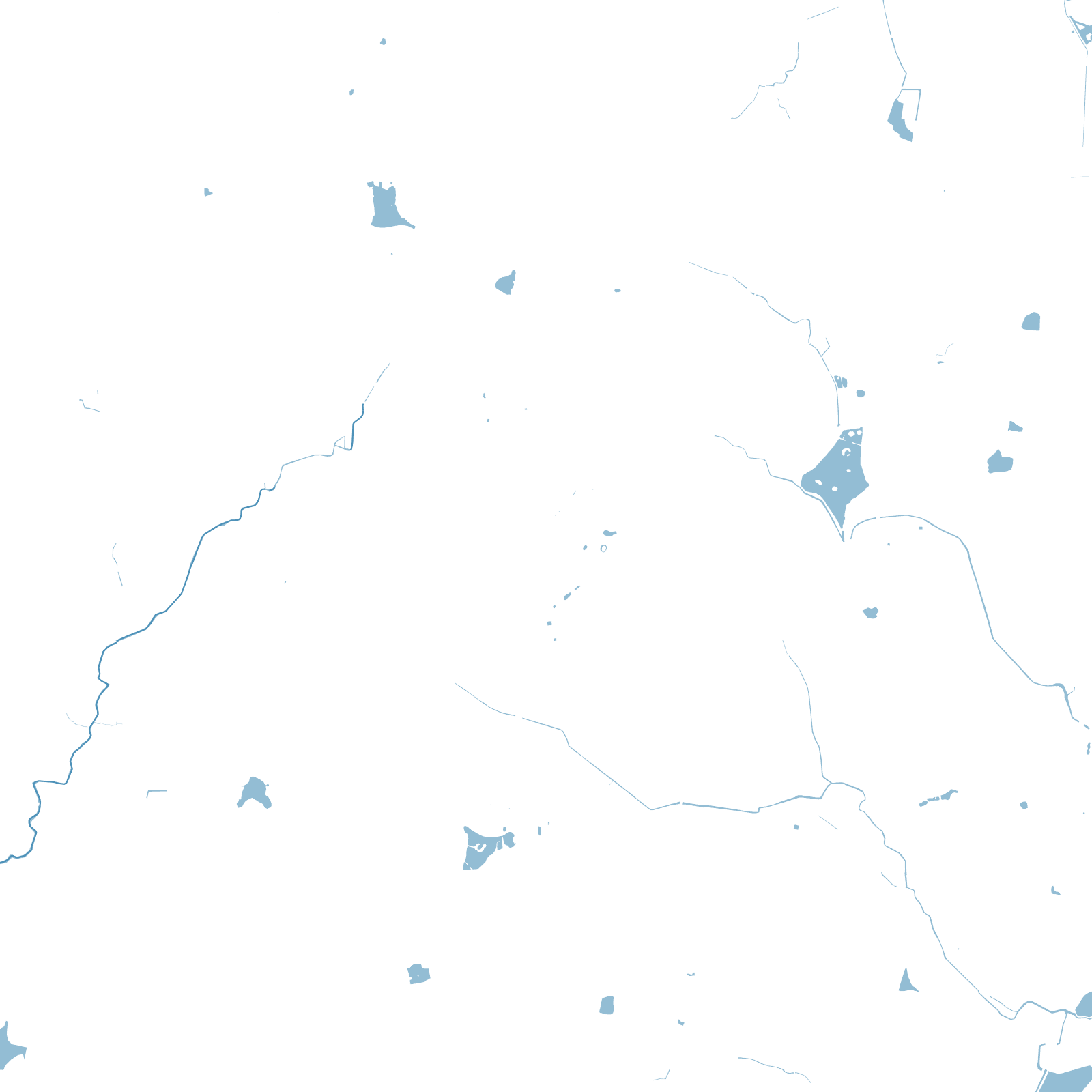
Bengaluru has no big river. On its high plateau, old rulers built hundreds of lake-reservoirs (tanks) to hold monsoon water, and the street network bends around the surviving lakes — and covers many vanished ones.
1537Kempe Gowda's fort and pete
≈900 maltitude on the Deccan plateau