CITYGRID
city archive
Why it looks like this
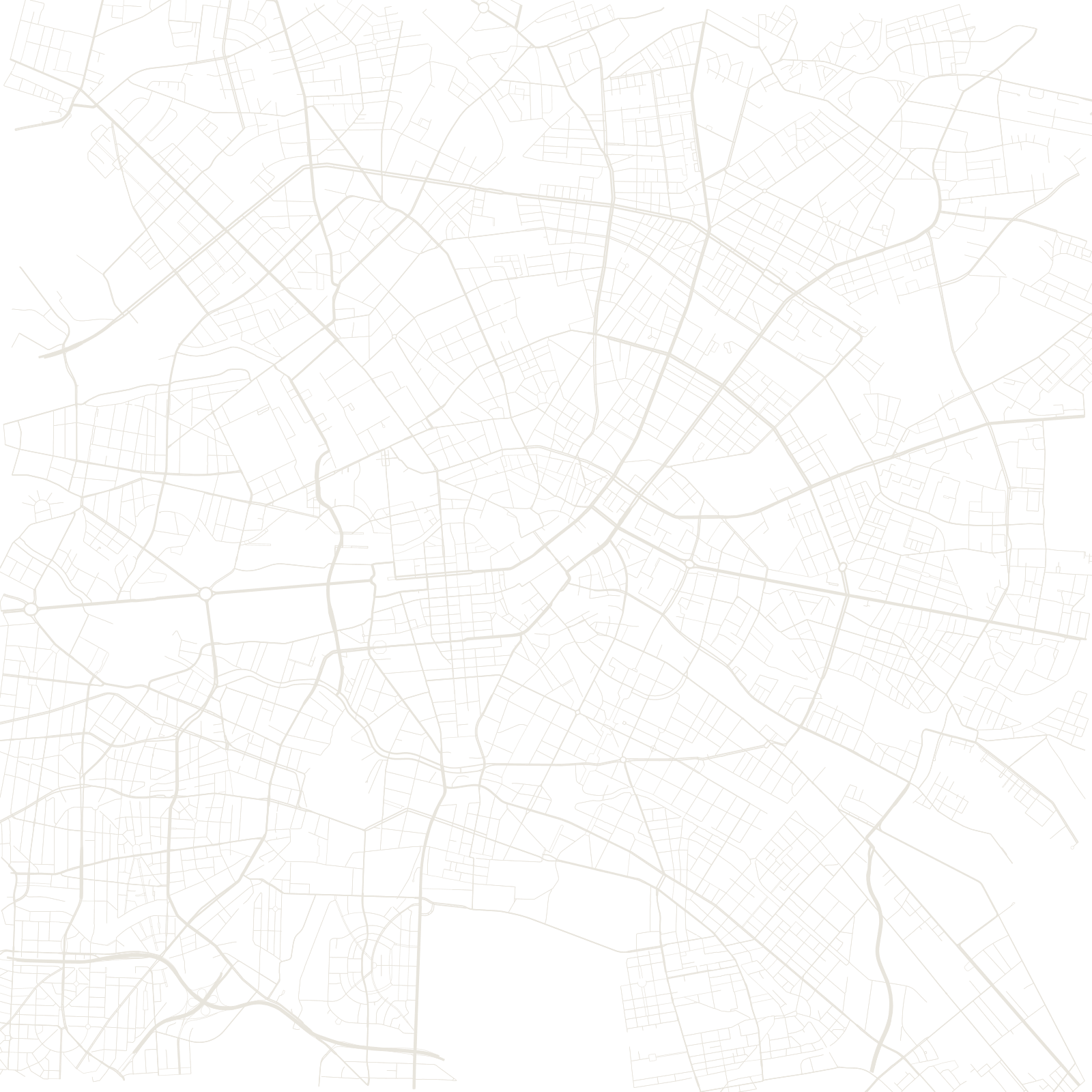
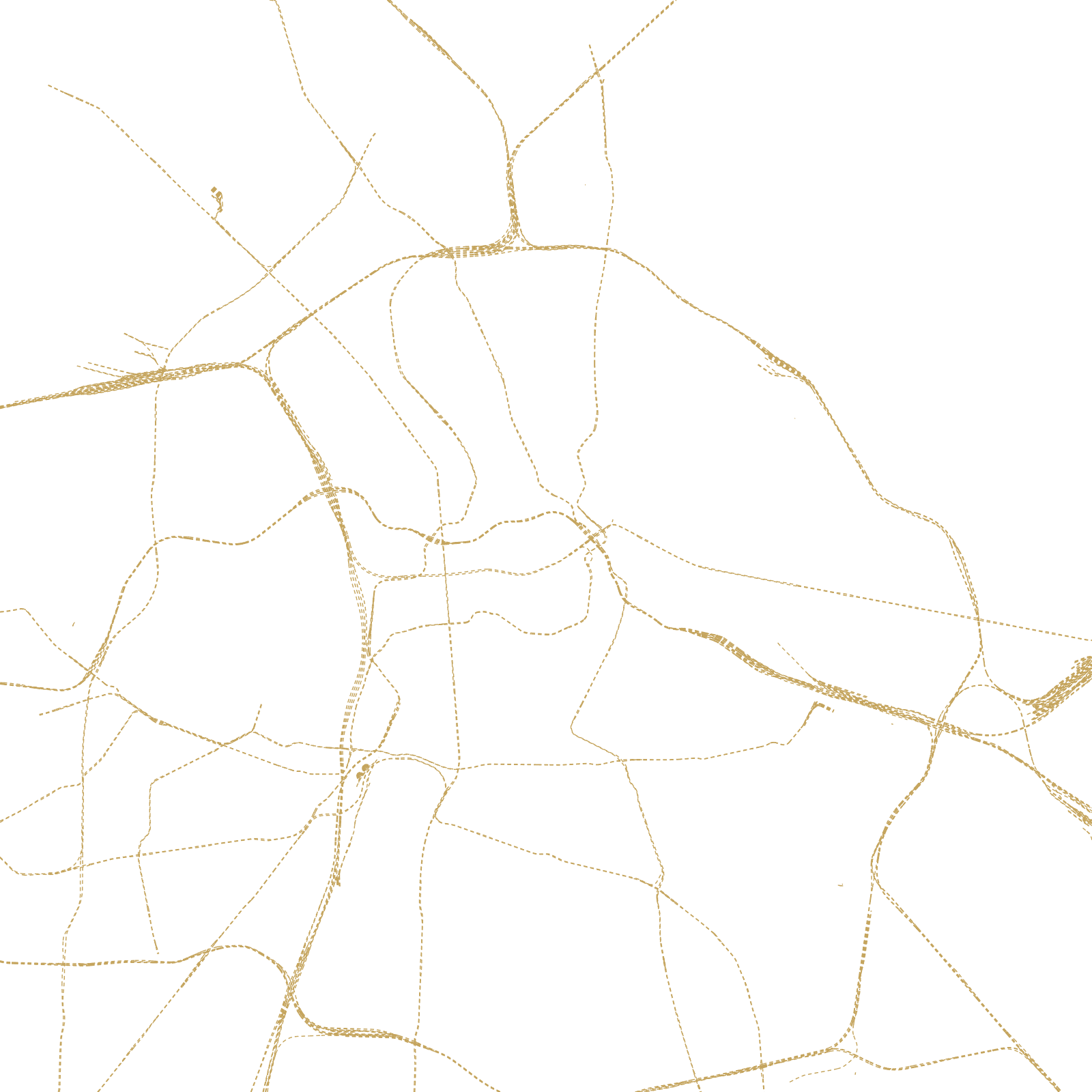
Berlin has no single plan because it was never a single city. In 1920, the Greater Berlin Act joined eight towns, fifty-nine villages and many country estates into one city overnight — and each part kept its own street layout. What looks like chaos is really many small patterns sitting side by side, connected by long boulevards and the Ringbahn railway circle.
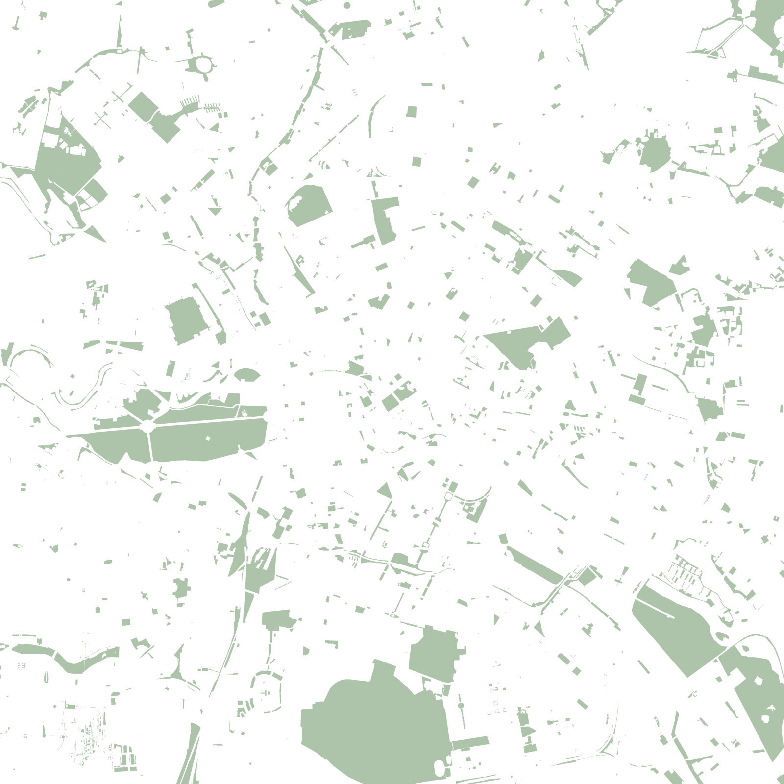
The twentieth century is still written into the map: wide areas cleared and rebuilt after the war, and a faint line of parks and empty ground where the Berlin Wall once stood.
1920Greater Berlin merger
37 kmRingbahn loop
≈3.8 Mpopulation