CITYGRID
city archive

Why it looks like this
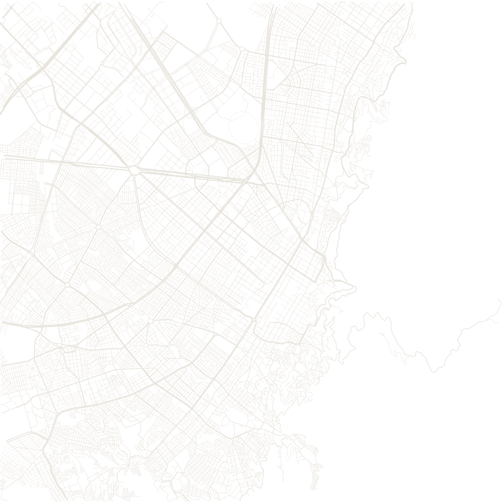
The Spanish founded Bogotá in 1538 with the standard checkerboard of the Laws of the Indies, and the modern city kept the logic: calles run one way, carreras the other, and an address like 'Calle 72 con Carrera 11' is a pair of coordinates.
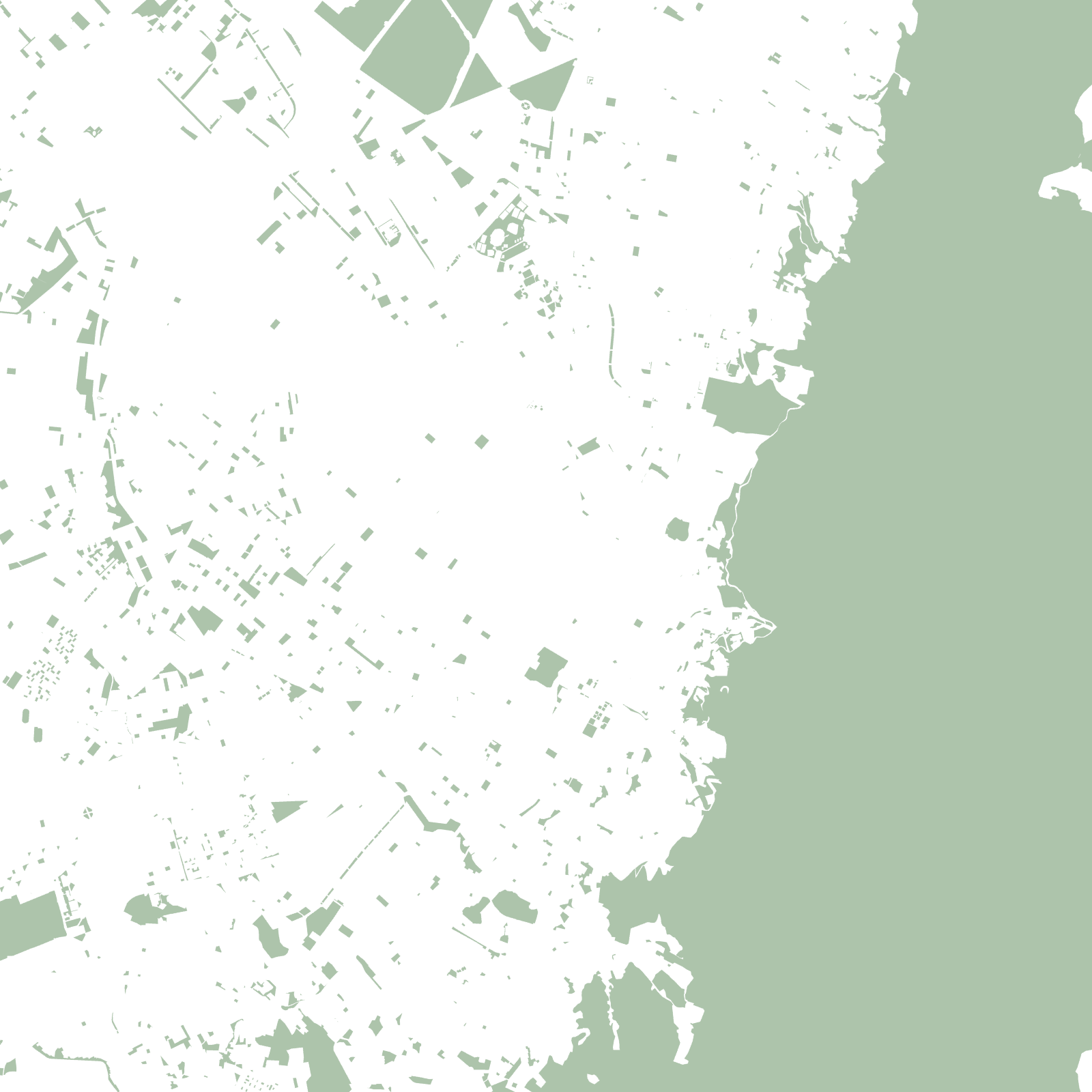
The city sits on a high plain at about 2,640 m, pressed against the mountain wall of Monserrate and Guadalupe. With the east blocked, Bogotá stretched into a long north–south band — which is why the map looks like a grid pulled lengthwise along the mountains.
1538founded
≈2,640 maltitude on the high plain