CITYGRID
city archive
Why it looks like this
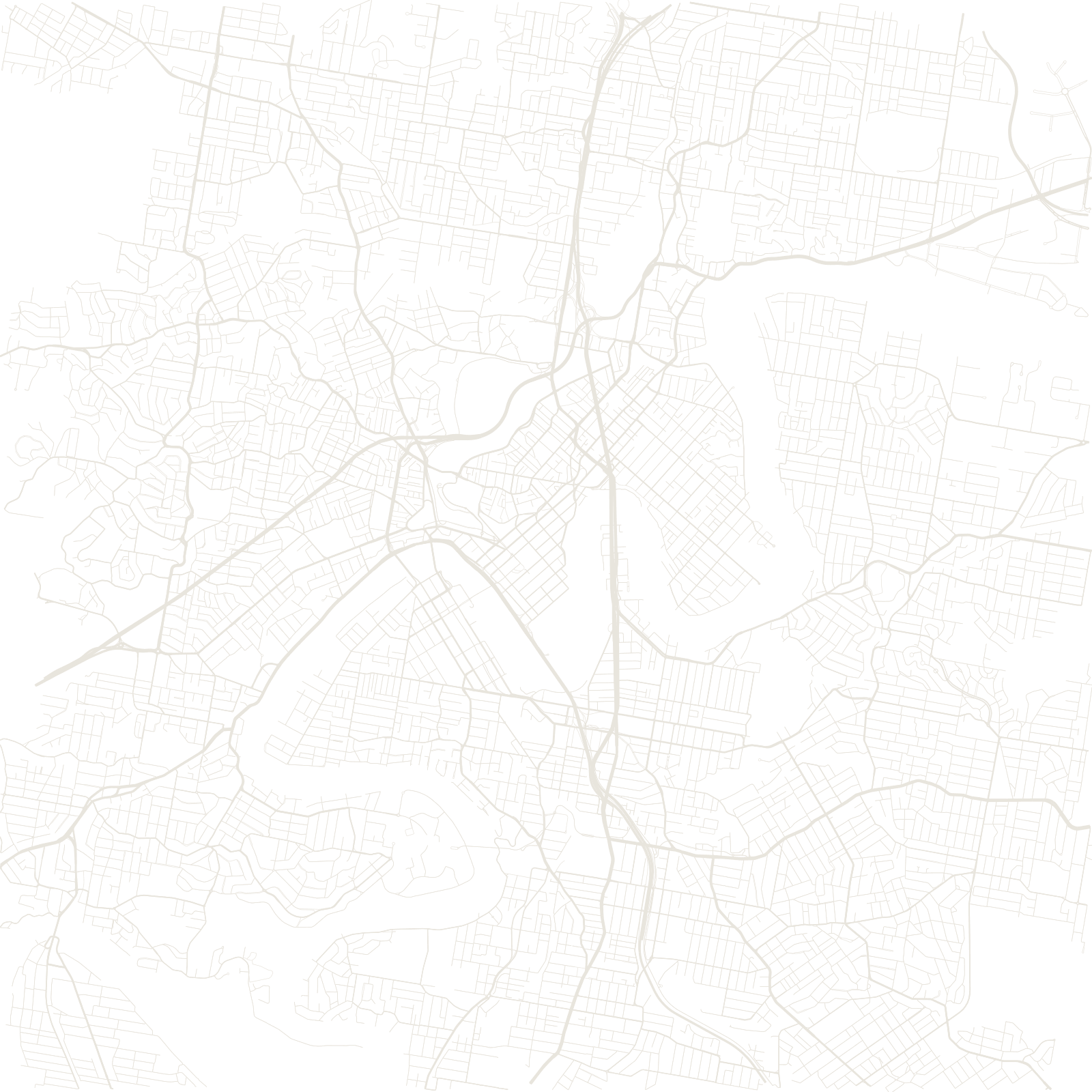
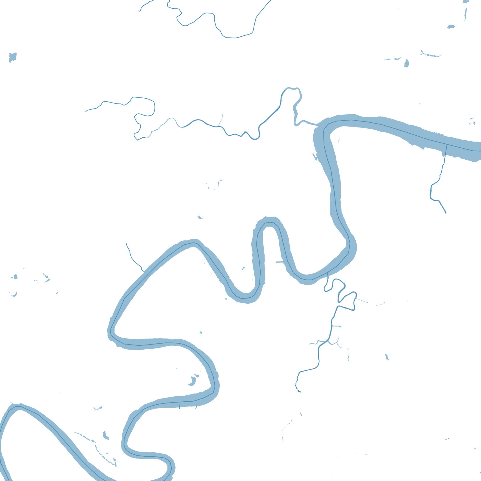
Brisbane began in 1825 as a penal colony on a river that refuses to run straight: the Brisbane River meanders through the city in a chain of tight loops before reaching Moreton Bay. The central grid was laid inside one loop, its streets named after kings one way and queens the other.
Every peninsula made by the meanders developed its own little street system, angled to its own stretch of riverbank — so the map is a patchwork of small grids turned in different directions, stitched together by bridges and ferries.
1825founded as a penal colony