CITYGRID
city archive
Why it looks like this
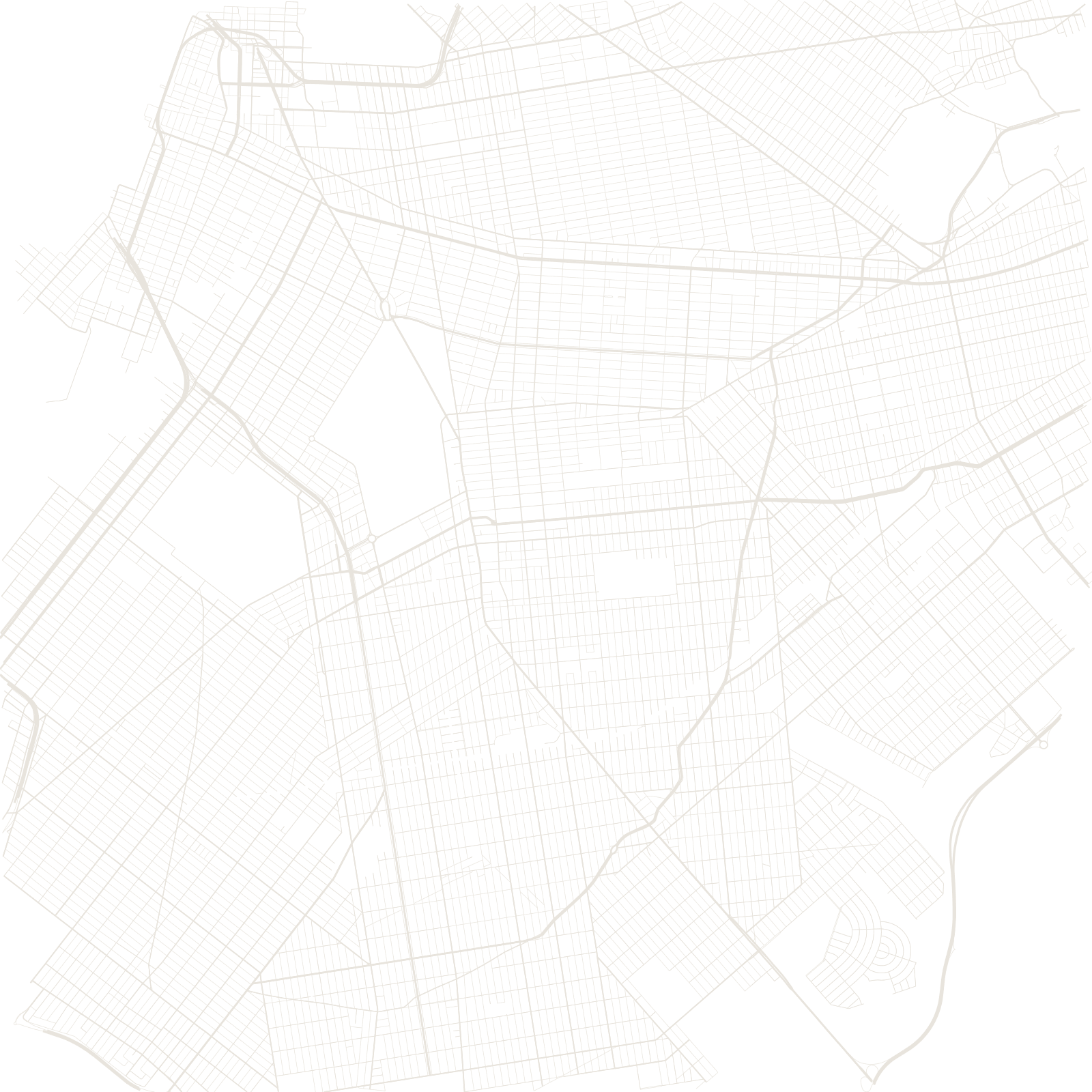
Brooklyn began as six Dutch-era towns — among them Breuckelen, Flatbush and Bushwick — each of which laid out its own streets as it grew. When they merged, the seams stayed: grids meet at angles all over the borough, and old roads like Flatbush Avenue cut diagonally across everything because they predate the grids around them.
By the 1890s Brooklyn was one of the largest cities in America in its own right. Only in 1898 did it vote — narrowly — to join New York City, a decision some still call 'the Great Mistake of 1898'.
6original towns
1898joined New York City