CITYGRID
city archive

Why it looks like this
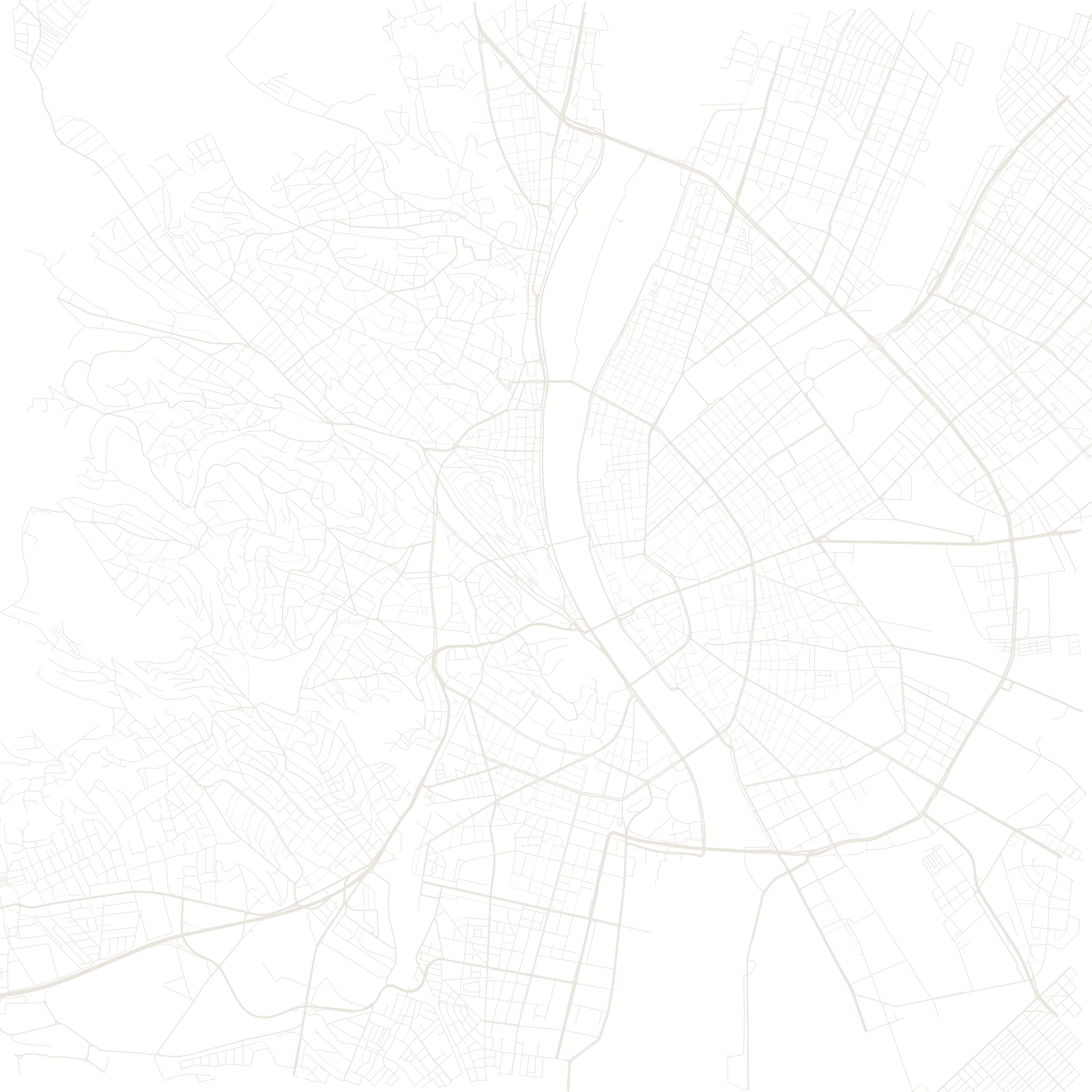
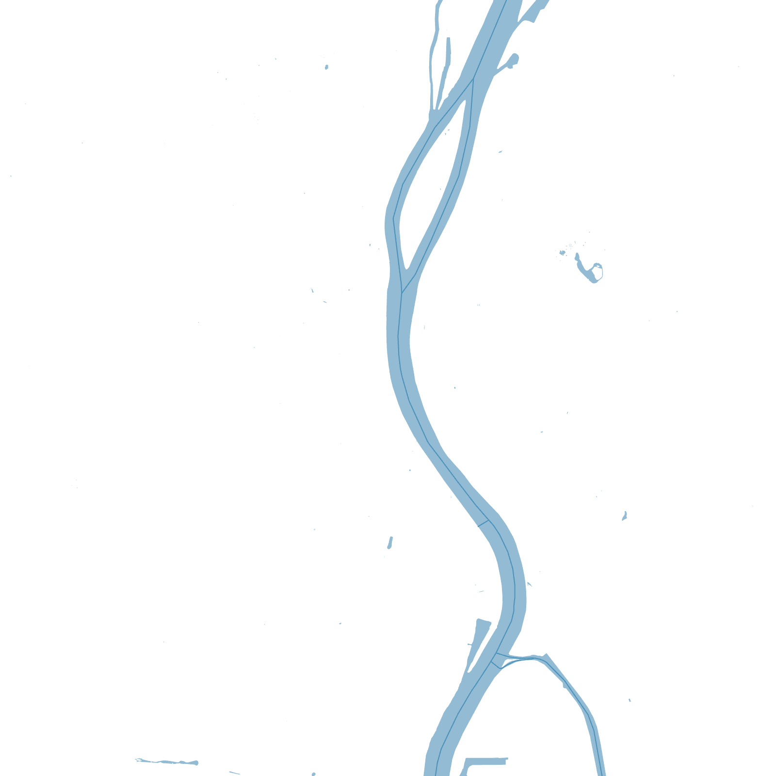
The Danube runs straight through the map, and the two banks answer it differently. Buda, on the west, climbs hills: Castle Hill's medieval lanes, villas winding up the slopes. Pest, on the east, is flat, so 19th-century planners gave it geometry — ring boulevards and radial avenues, including Andrássy Avenue, modelled on the Paris of the same era.
Buda, Pest and Óbuda were separate towns until 1873. The Chain Bridge of 1849 — the first permanent crossing — made the union possible, and the bridges that followed stitched the two street systems into one capital.
1873Buda + Pest + Óbuda united
1849Chain Bridge opened