CITYGRID
city archive

Why it looks like this
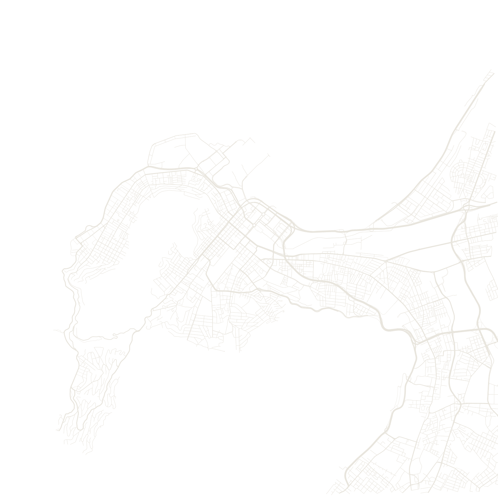
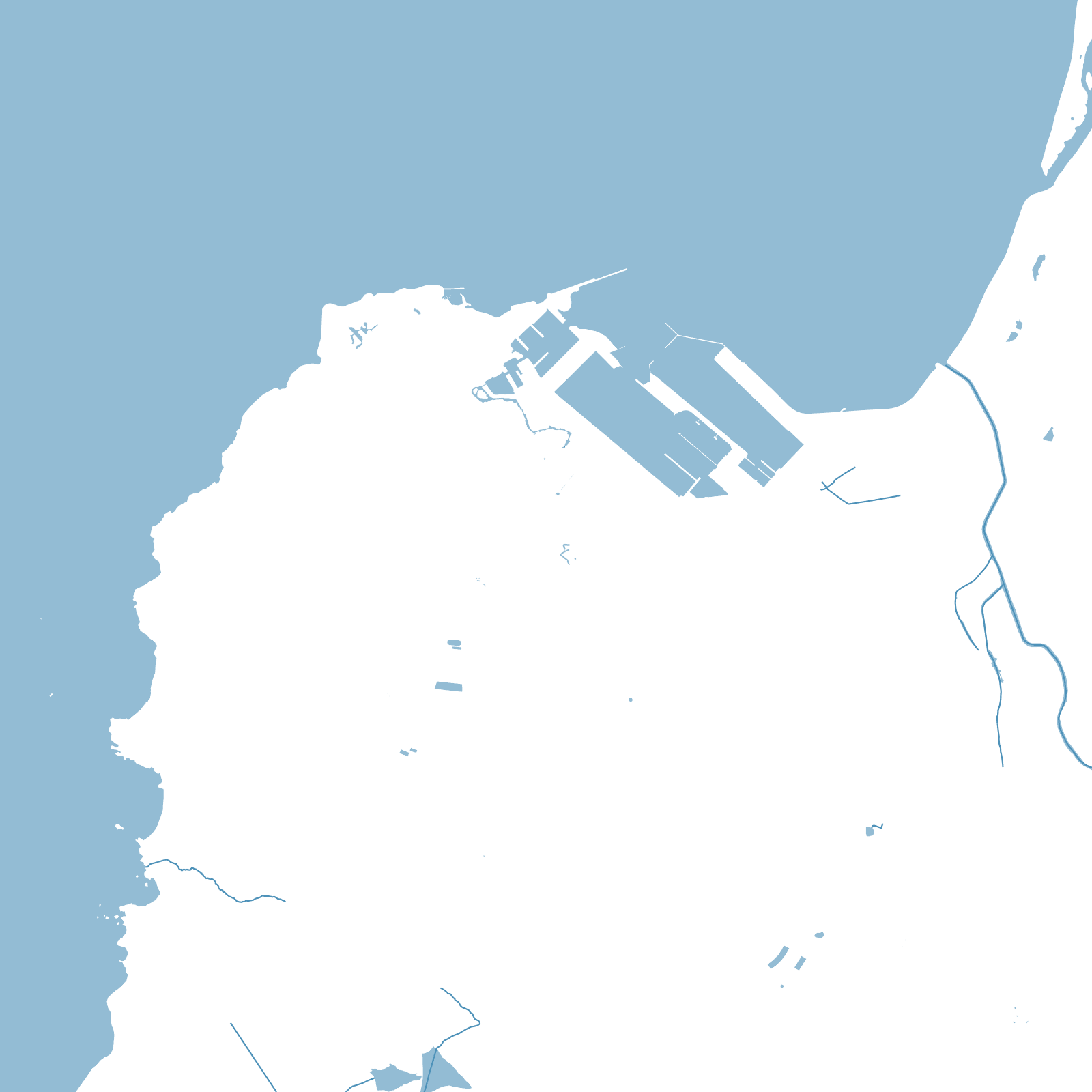
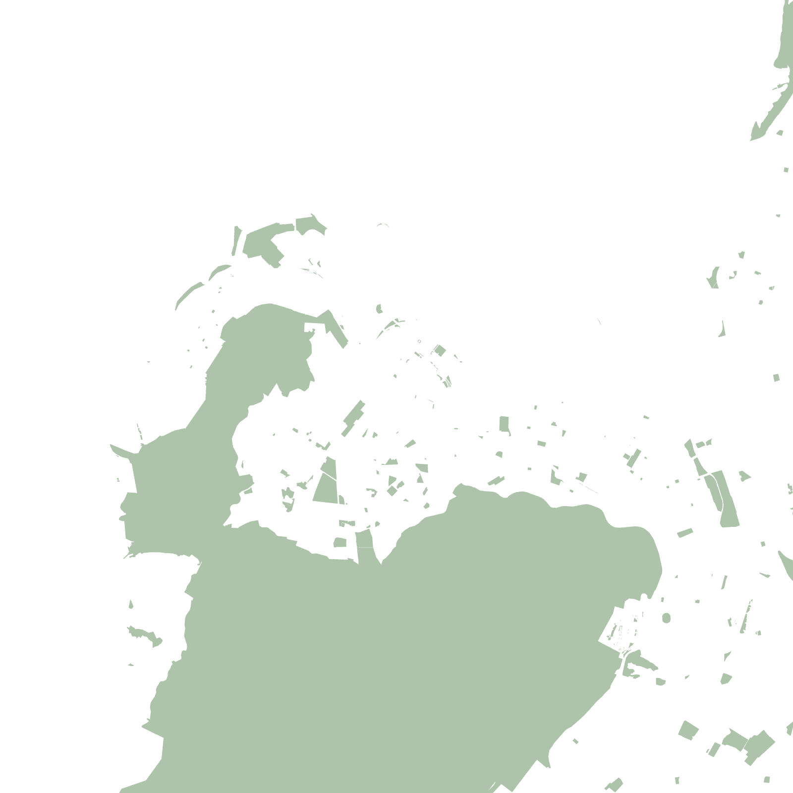
Cape Town began in 1652 as a Dutch supply station, and its first streets — still there — form a small grid in the natural amphitheatre between Table Mountain, Signal Hill and Table Bay. The mountain is a hole in the map: a 1,000-metre wall of rock in the middle of a metropolis.
The map's other pattern is political. Under apartheid, communities of colour were removed from central districts like District Six and resettled on the sandy Cape Flats to the southeast — enormous planned townships whose repeating grids stand far from the jobs and beauty of the Bowl.
1652Dutch settlement founded
1,085 mTable Mountain above the streets