CITYGRID
city archive


Why it looks like this
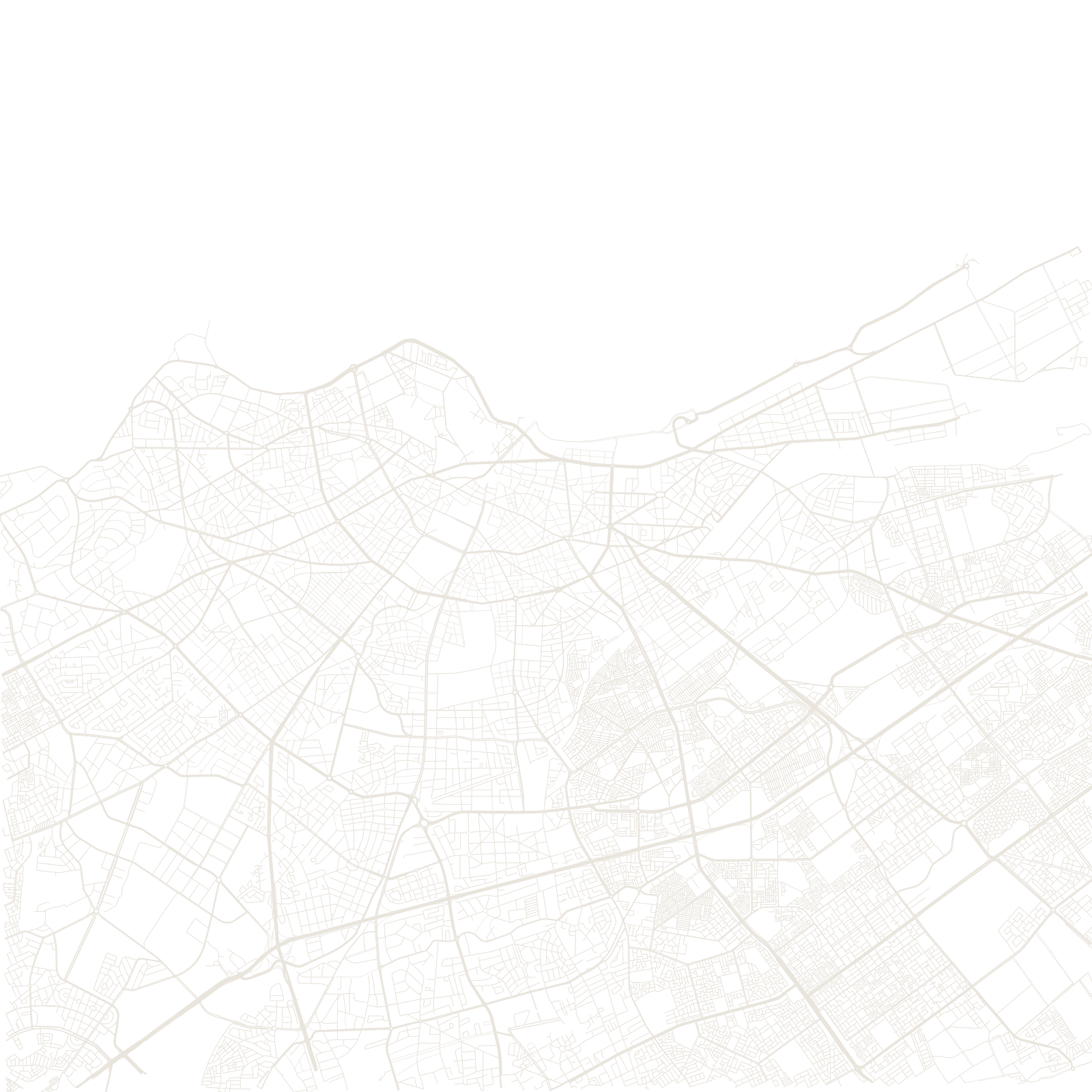
Casablanca was a modest walled port when the French protectorate began in 1912. Resident-general Lyautey and planner Henri Prost then used it as a testing ground: a 'ville nouvelle' of radiating boulevards, ring roads and zoning was drawn around the old medina instead of through it.
The city boomed into Morocco's economic capital, filling with art-deco buildings in the 1920s and 1930s. On the map the layers are clear: the tight knot of the medina at the harbour, the fan of colonial avenues around it, and the vast modern districts beyond.
1912French protectorate begins