CITYGRID
city archive
Why it looks like this
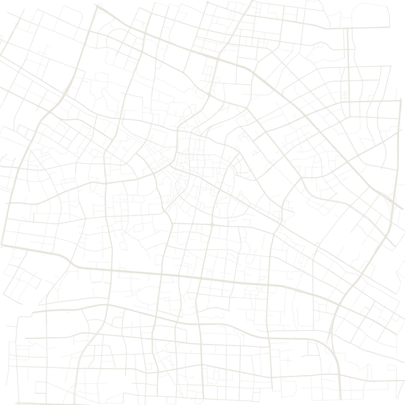
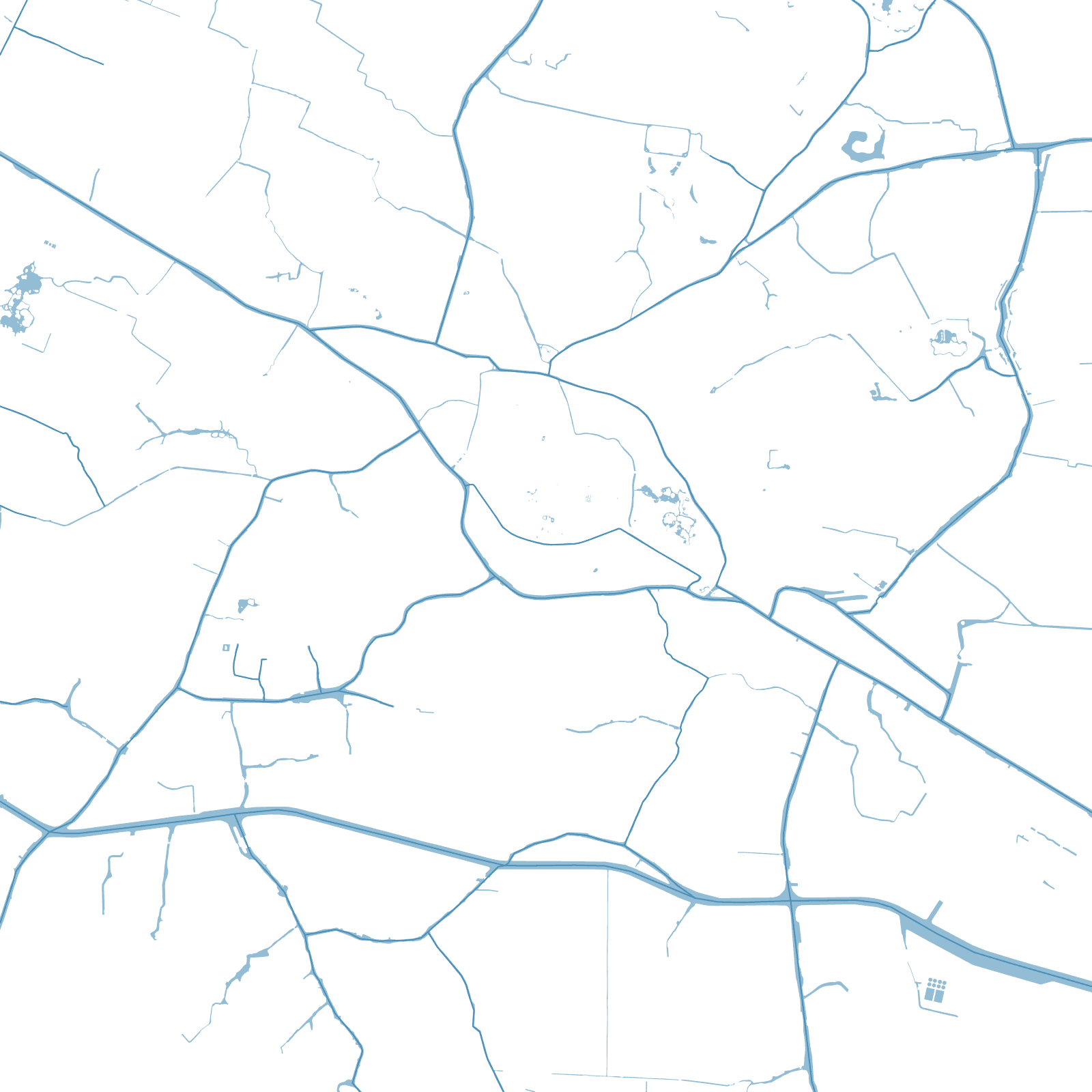
For over a thousand years, Changzhou's main street was water: the Grand Canal passed through the walled town, and its wharves, warehouses and merchant lanes lined the banks. The oldest parts of the map still bend with the canal's route.
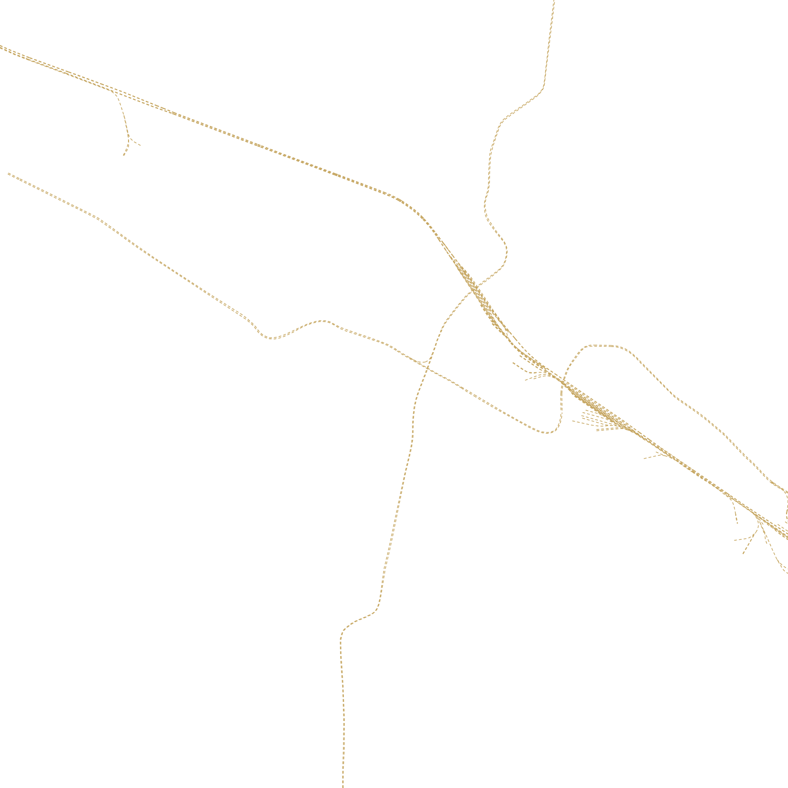
The railway between Shanghai and Nanjing brought the next city — factories and straight streets around the station — and the modern boom added wide grids of industrial parks. Three street systems, one per era of transport.