CITYGRID
city archive
Why it looks like this
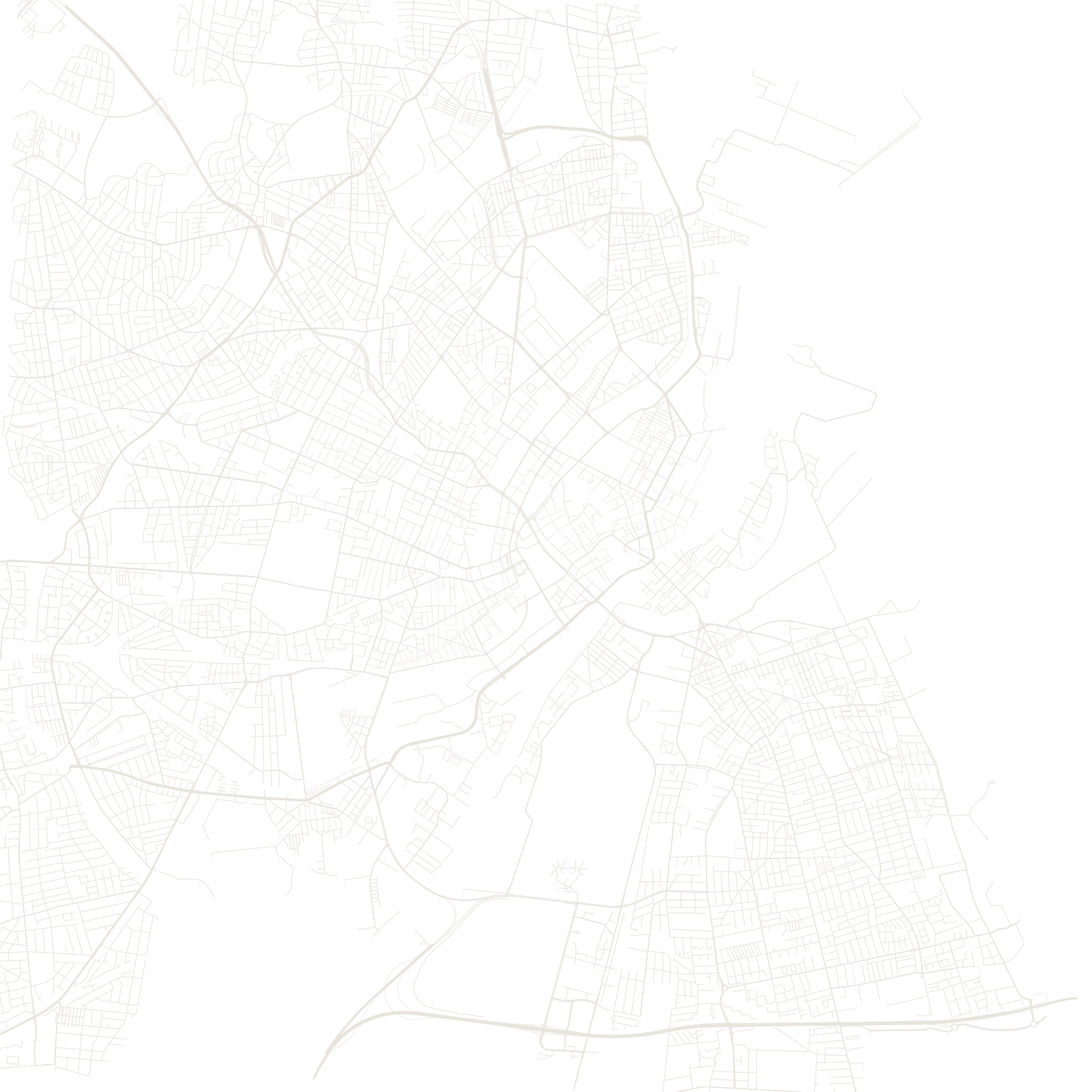
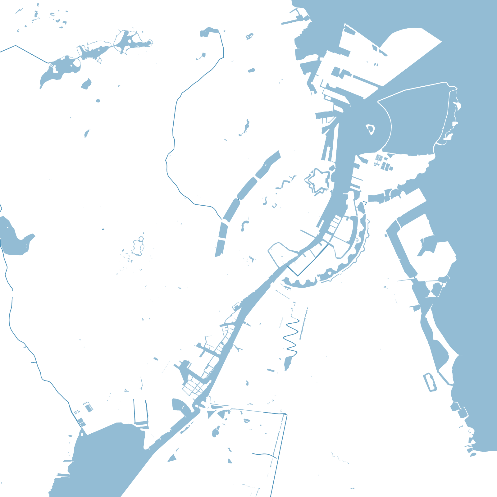
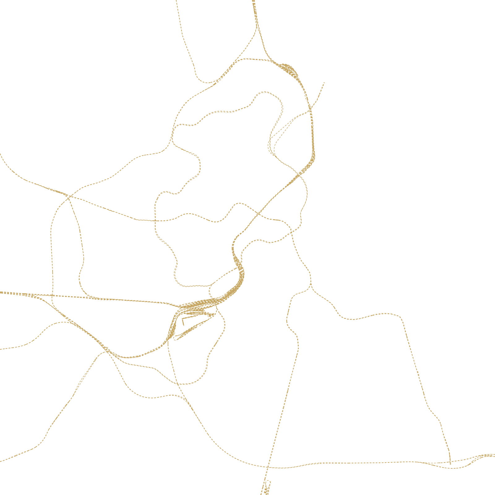
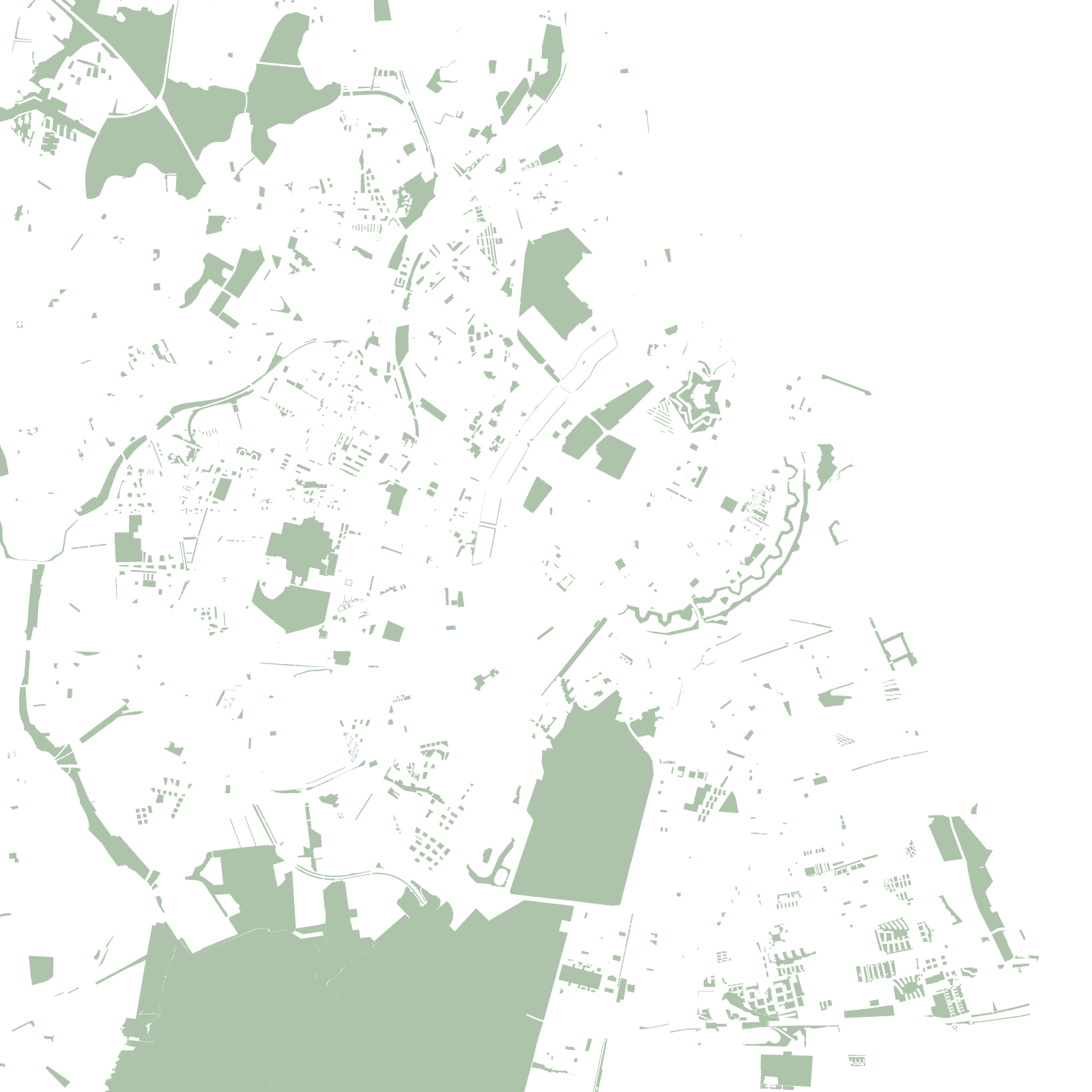
Look at greater Copenhagen and you can see a hand: the dense old city — a maze inside the arc of its former ramparts, now a chain of lakes and parks — is the palm, and development stretches outward along five S-train corridors like fingers, with farmland and forest protected in the wedges between.
The Finger Plan of 1947 is one of the world's most faithfully followed regional plans; new towns and metro lines still obey it. In the centre, the star-shaped moats of Christianshavn and the Kastellet fortress recall the older logic of a walled port city.
1947Finger Plan adopted
5fingers of rail-led growth