CITYGRID
city archive
Why it looks like this
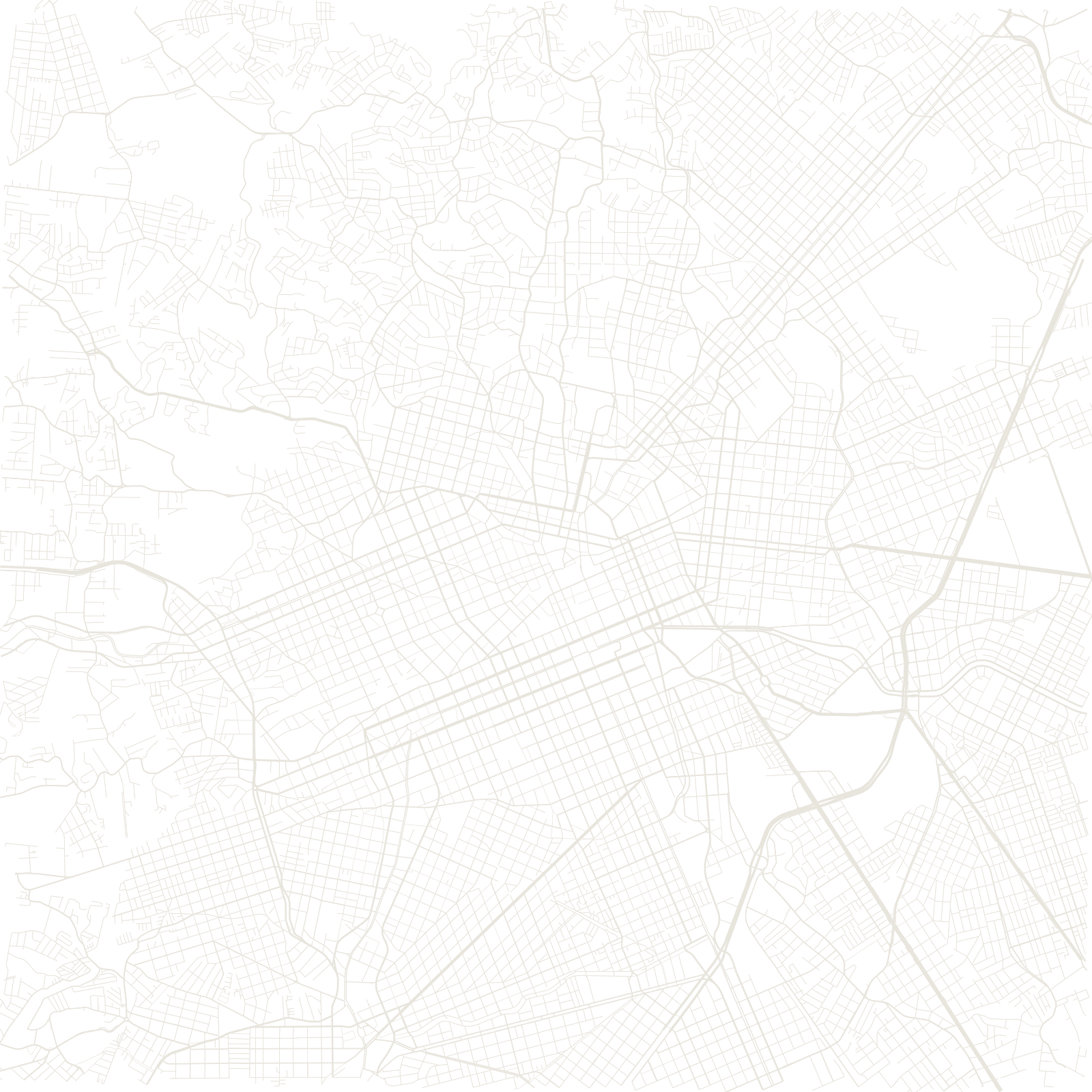
In 1966 Curitiba adopted a master plan that did something unusual: instead of rings, it channelled all growth along five linear corridors radiating from the centre. Each axis is a sandwich of streets — express bus lanes in the middle, tall buildings allowed only alongside, lower neighbourhoods behind.
In 1974 those centre lanes received the world's first bus rapid transit system, with its famous tube stations. The result is visible from space: fingers of high-rise density following the bus lines, a city whose skyline is a transit map.
1974world's first BRT line
5structural growth axes