CITYGRID
city archive
Why it looks like this
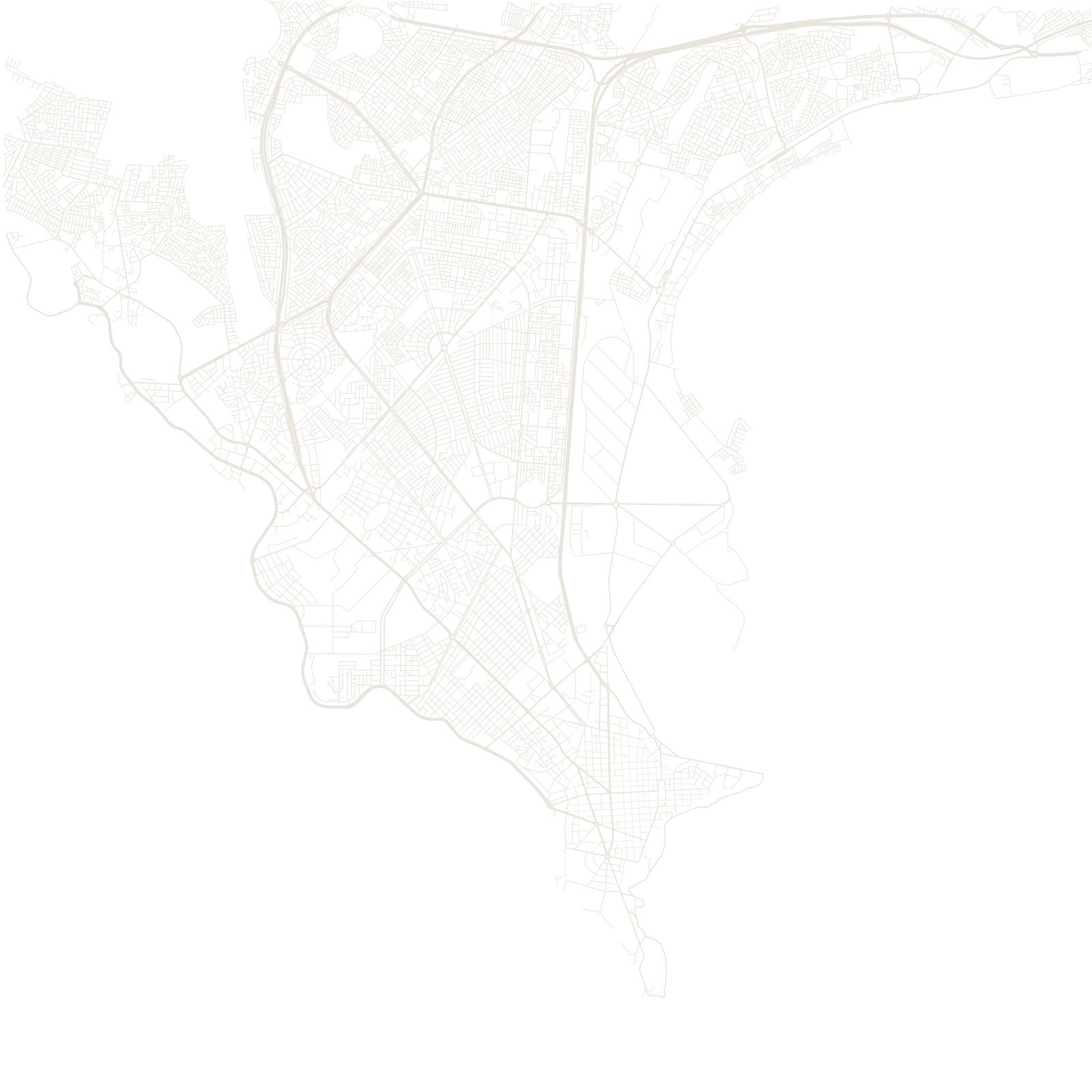
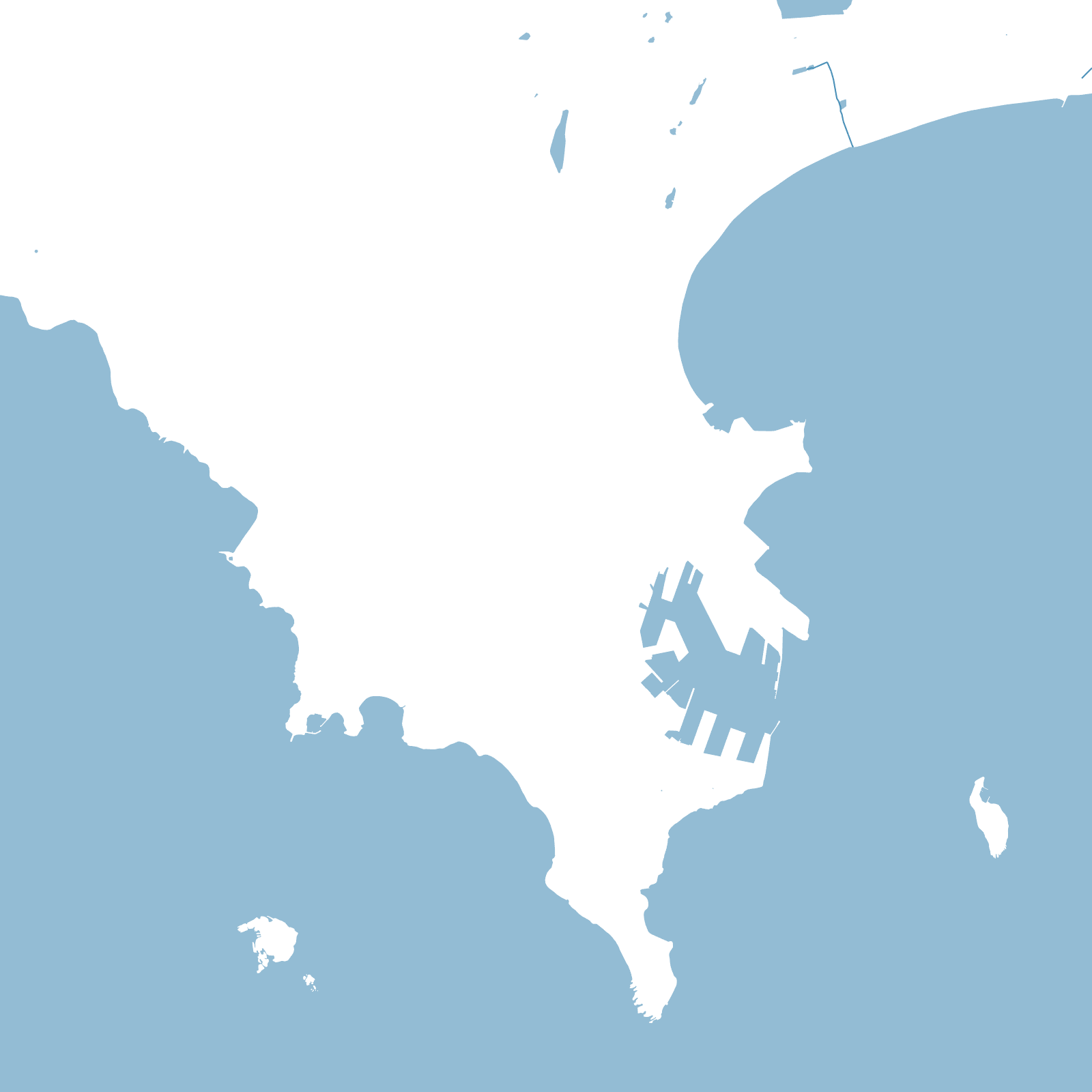
Dakar began in 1857 as a French fort at the tip of a peninsula reaching into the Atlantic. The colonial 'Plateau' grid sits at that tip, near the harbour and facing Gorée Island; the city has been filling the peninsula behind it ever since.
One historic decision still marks the map: after a plague outbreak in 1914, the colonial government pushed African residents into a new district — the Médina — a grid apart from the Plateau. Today the city runs out of land in every direction except northeast, where it merges into its own suburbs.
1857French fort founded
1914Médina district created