CITYGRID
city archive

Why it looks like this
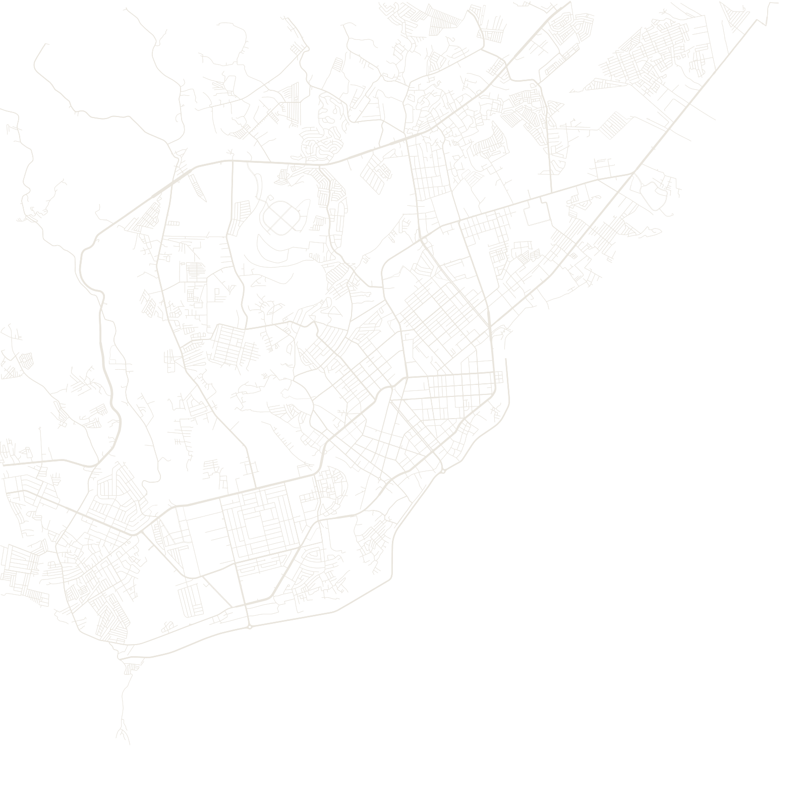
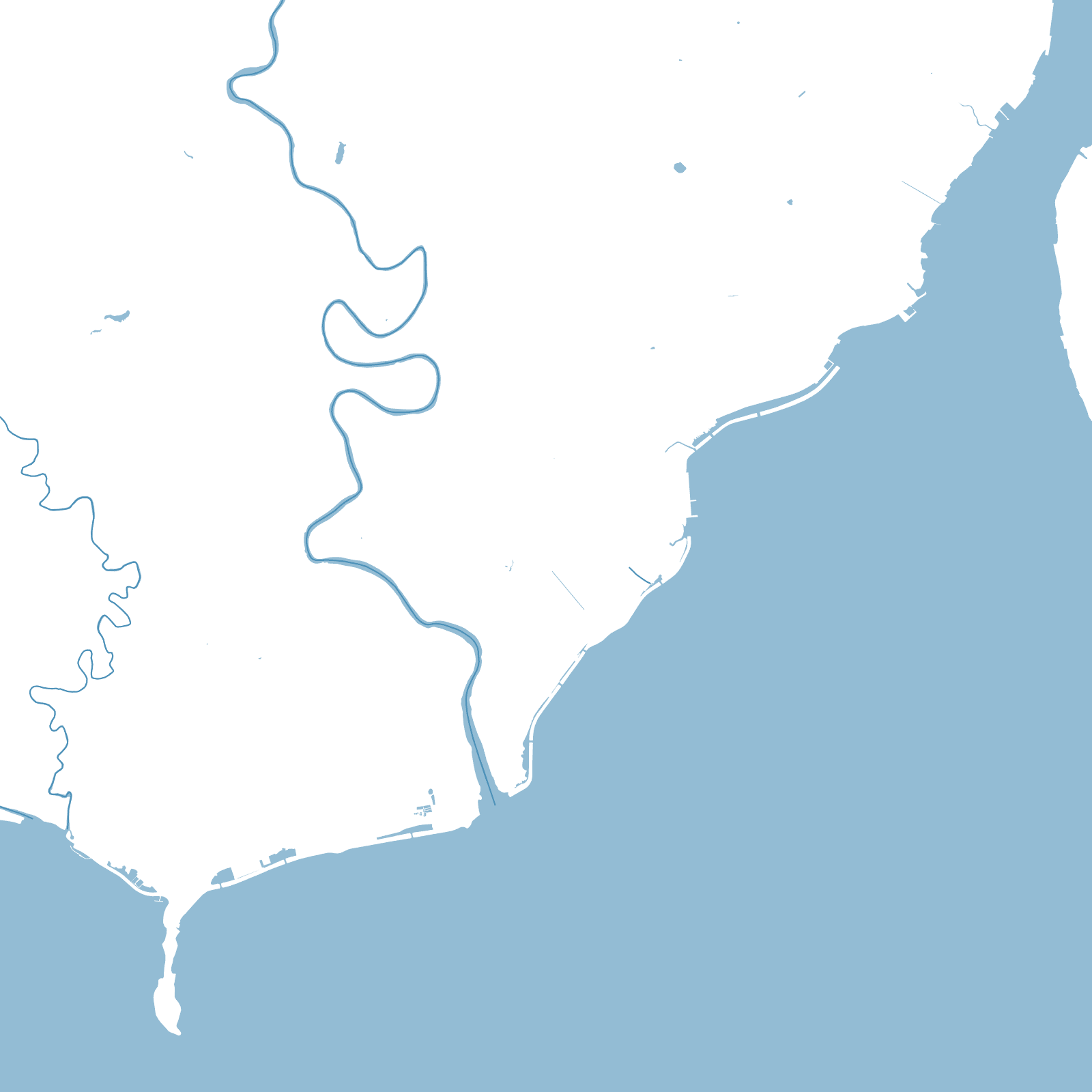
'Davao City' covers roughly 2,440 square kilometres, stretching from the sea to the slopes near Mount Apo, the Philippines' highest peak. Almost all of that is farmland, forest and mountain; the actual street network hugs the flat coastal strip along the Davao Gulf.
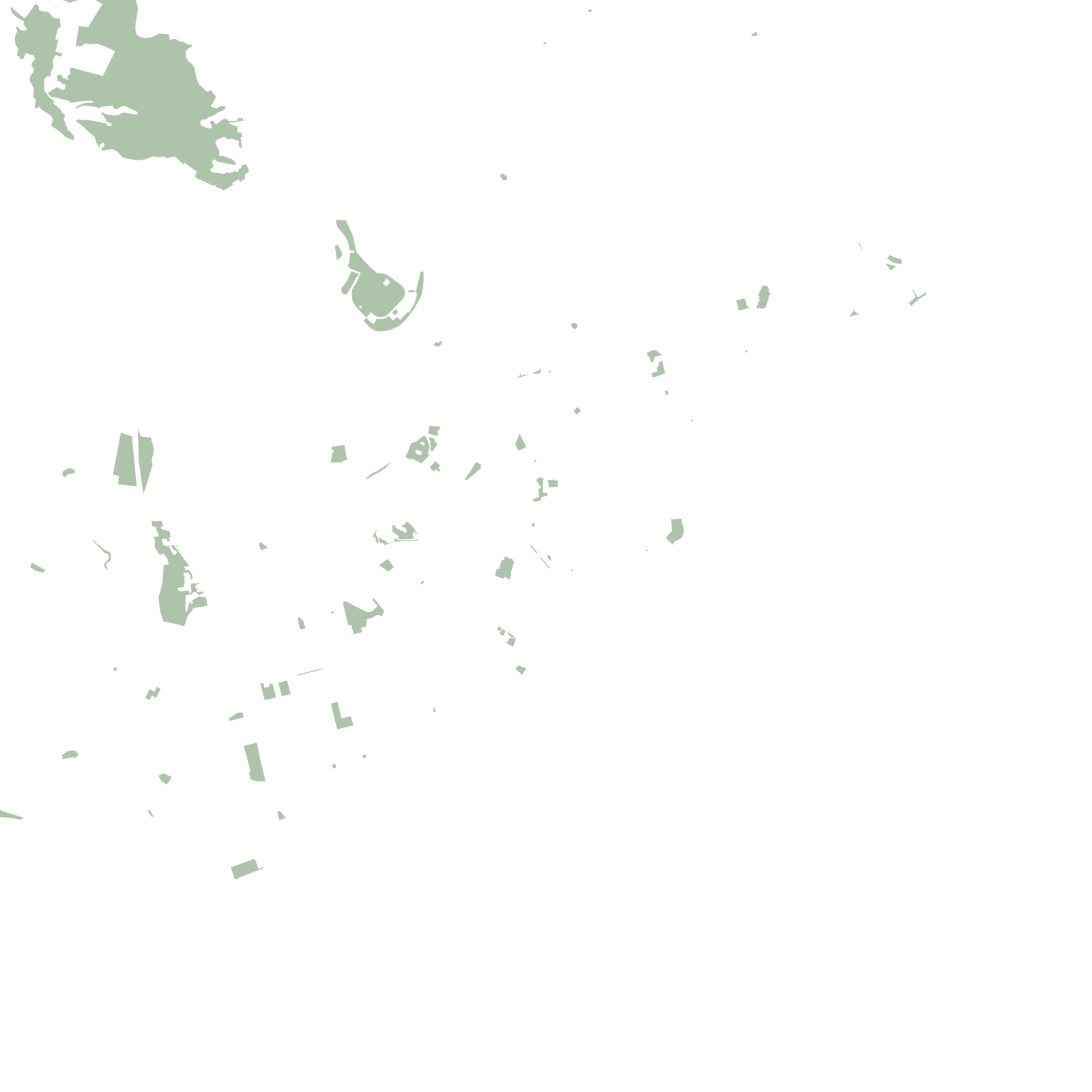
So the map is deceptive: a dense grid downtown by the port, ribbons of development along the coastal highways north and south, and then — inside the same city limits — kilometres of green.
≈2,440 km²official city area
2,954 mMount Apo at the city's back