CITYGRID
city archive

Why it looks like this
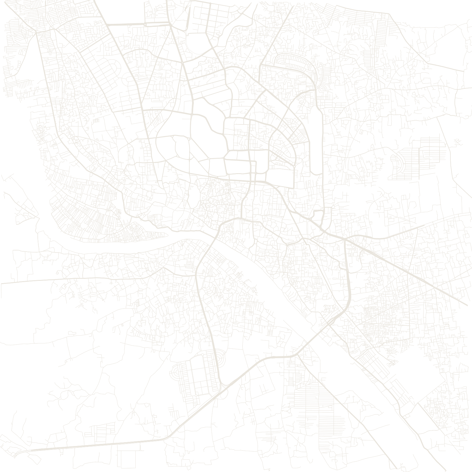
Dhaka's oldest streets crowd the north bank of the Buriganga River: the Mughals made the city their Bengal capital in 1610, and the riverside quarters of bazaars, mosques and mansions still keep their tight, winding pattern.
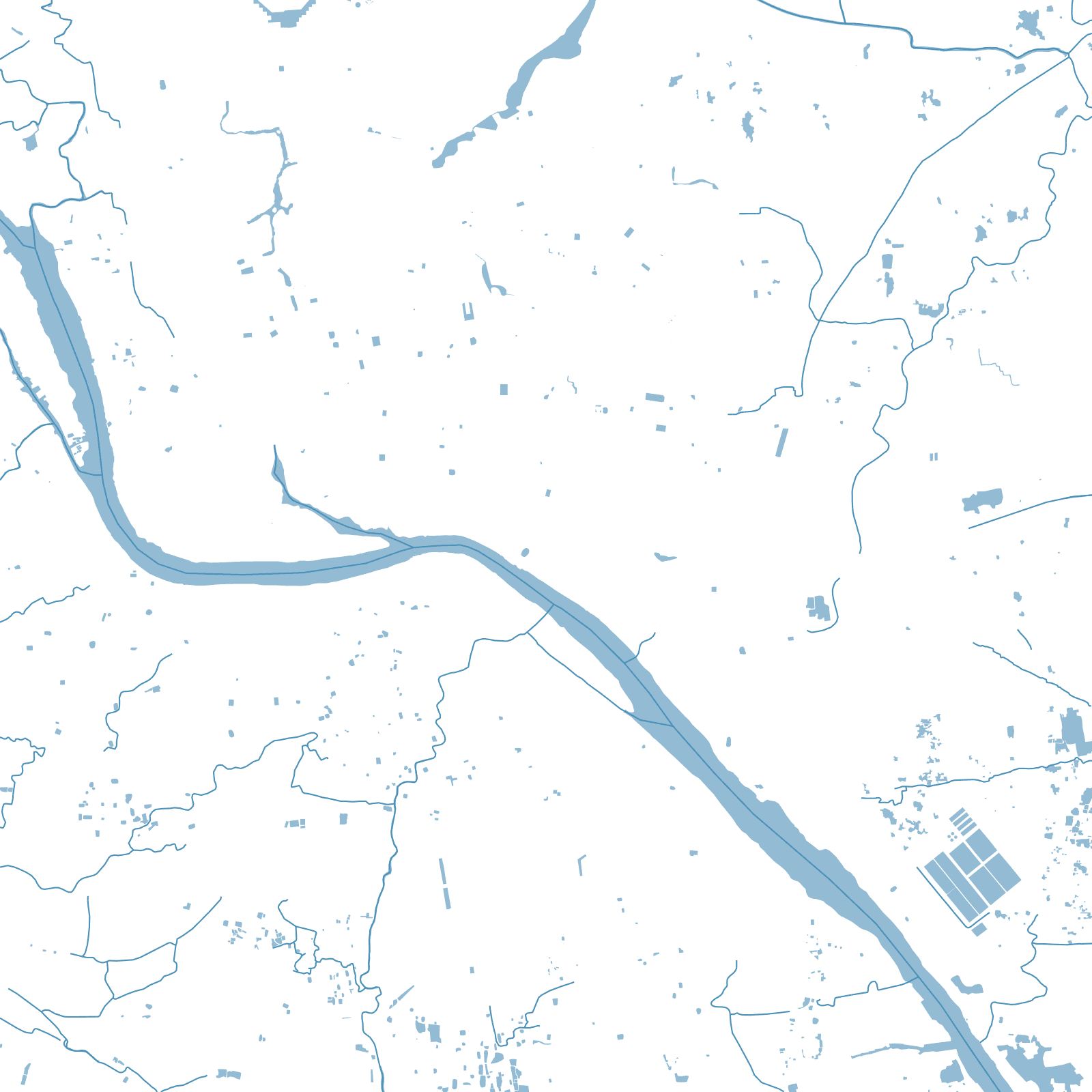
The city then grew northward in layers you can read on the map: the British civil lines and Ramna's green around the university, planned mid-century districts like Dhanmondi with its lake, then Gulshan and the vast fast-built neighbourhoods beyond. Squeezed between rivers and floodplains on every side, Dhaka packs more people per square kilometre than almost anywhere else in the world.
1610Mughal capital of Bengal