CITYGRID
city archive
Why it looks like this
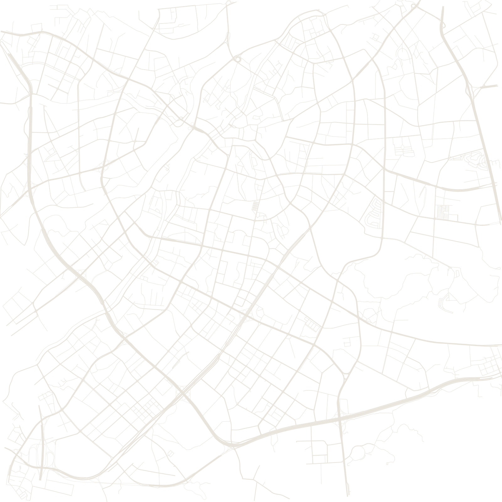
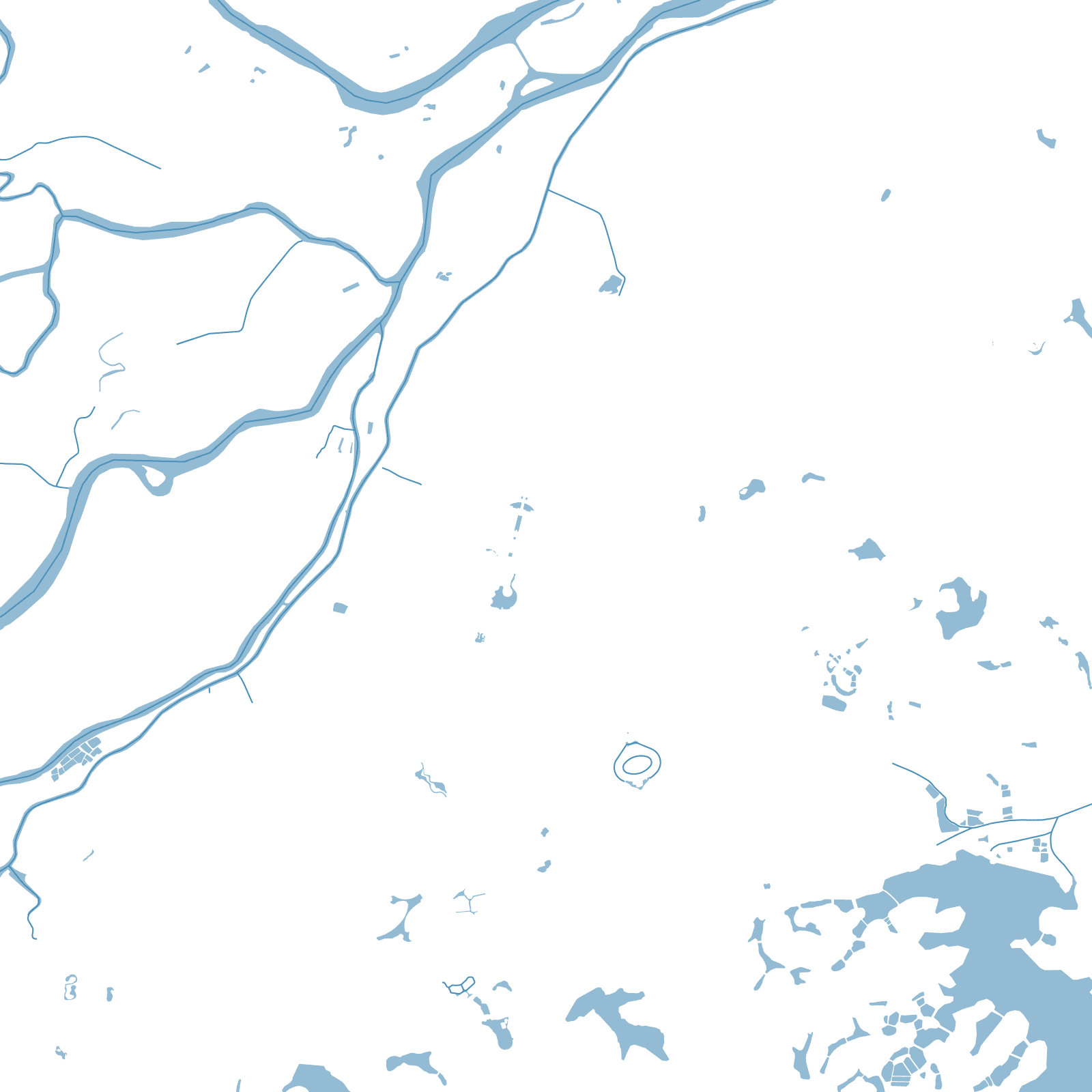
When export manufacturing exploded in the Pearl River Delta, Dongguan's farming towns each built their own factories, worker dormitories and street grids. Thirty-two towns and districts urbanized in parallel, and the fields between them filled in.
The result is one of the strangest maps of any megacity: a carpet of medium-density urban patches with no dominant core — a polycentric city where the 'centre' depends on which town you are standing in.
32towns and districts, no one centre