CITYGRID
city archive


Why it looks like this
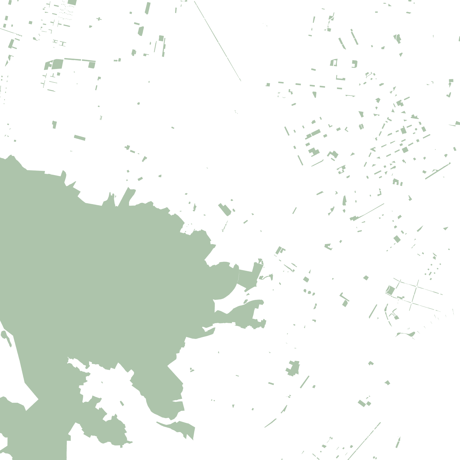
In the Aztec era this was lakeshore and water: a great causeway-dike crossed the shallows near here. As Mexico City drained its lakes and then overflowed its own borders, Ecatepec became the giant of the overflow — square kilometre after square kilometre of tight, repeating grids housing workers priced out of the capital.
It grew into one of Mexico's most populous municipalities, its flat street-carpet interrupted only by bare volcanic hills like the Sierra de Guadalupe that the grid must flow around.
≈1.6 Mpeople, among Mexico's largest municipalities