CITYGRID
city archive

Why it looks like this
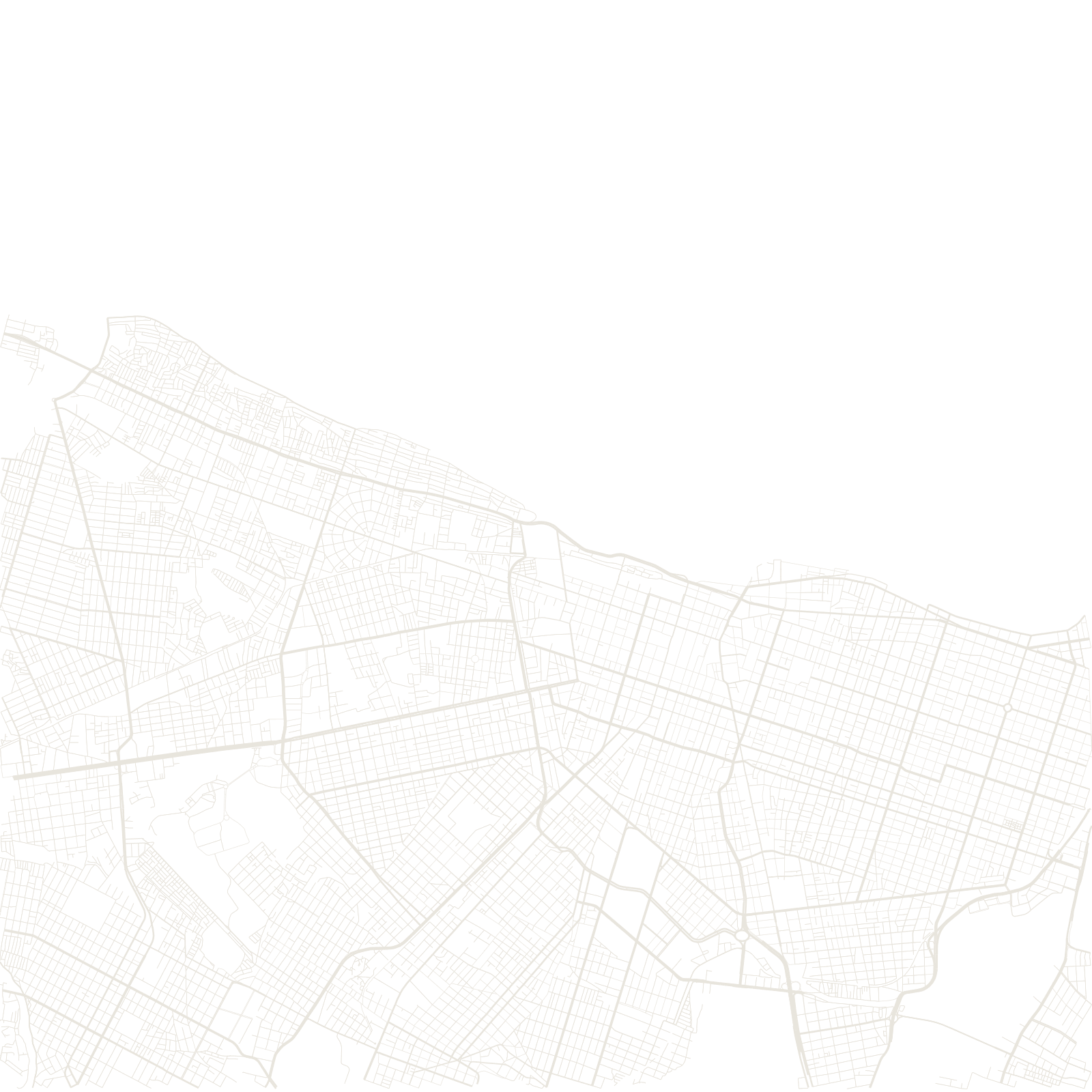
The city is named for a fortress — Fortaleza — begun by Dutch occupiers in the 1600s and taken over by the Portuguese. In the 19th century the growing town was disciplined into a formal checkerboard plan, its straight streets marching inland from the shore.
Flat land and a long coastline let the grid spread widely; the beach avenues of Iracema and Meireles became the city's front face, while vast plainland districts filled in behind.