CITYGRID
city archive
Why it looks like this
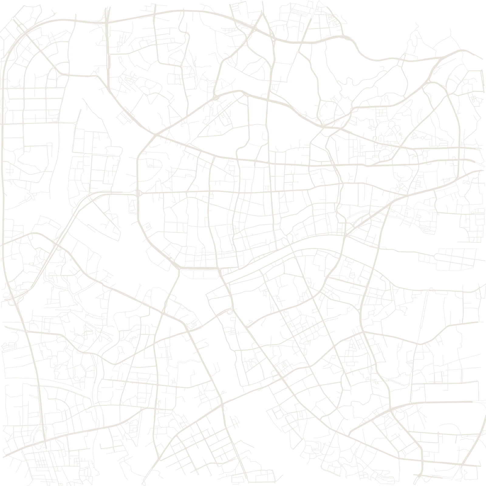
Few cities have traded so long from one spot: Guangzhou (Canton) has been southern China's gateway port since the Qin era. The old axis runs through Beijing Road, where glass panels in the pavement show layer upon layer of older streets beneath; nearby, the small island of Shamian keeps the tidy grid of its colonial concession.
In the 2000s the city drew itself a second, deliberately monumental north–south axis a few kilometres east — through Zhujiang New Town and the Canton Tower — so the map holds both an organic ancient port and a ruler-straight 21st-century centre.
2,200+ yrscontinuous port city