CITYGRID
city archive

Why it looks like this
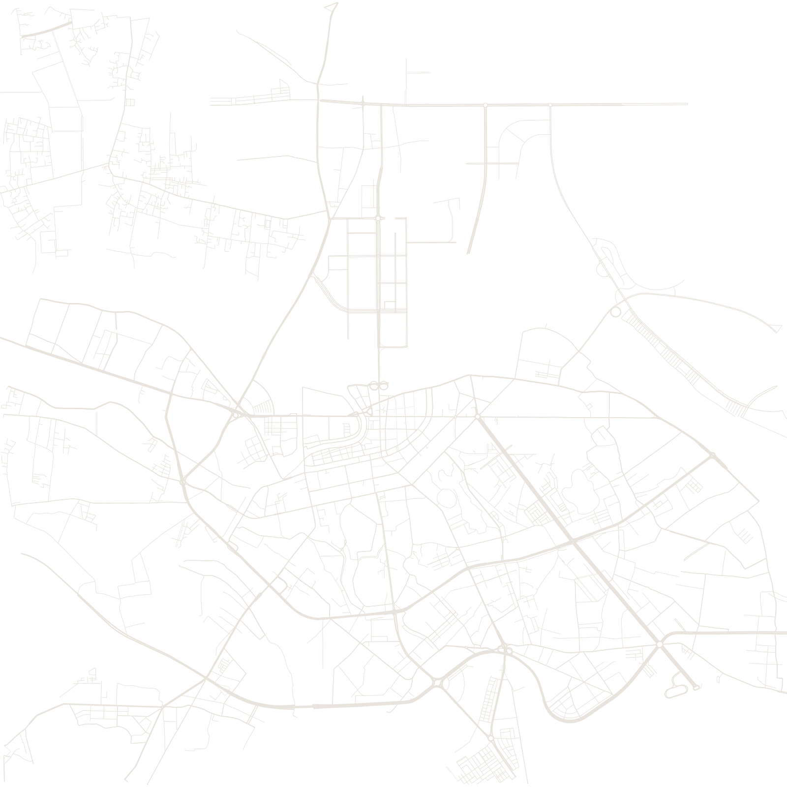
The French developed Haiphong from the 1870s–80s as the deep-water gateway to Hanoi and Tonkin, digging canals, draining delta land and laying a European grid of avenues near the docks. Its opera house and iron-framed market halls still mark that era.
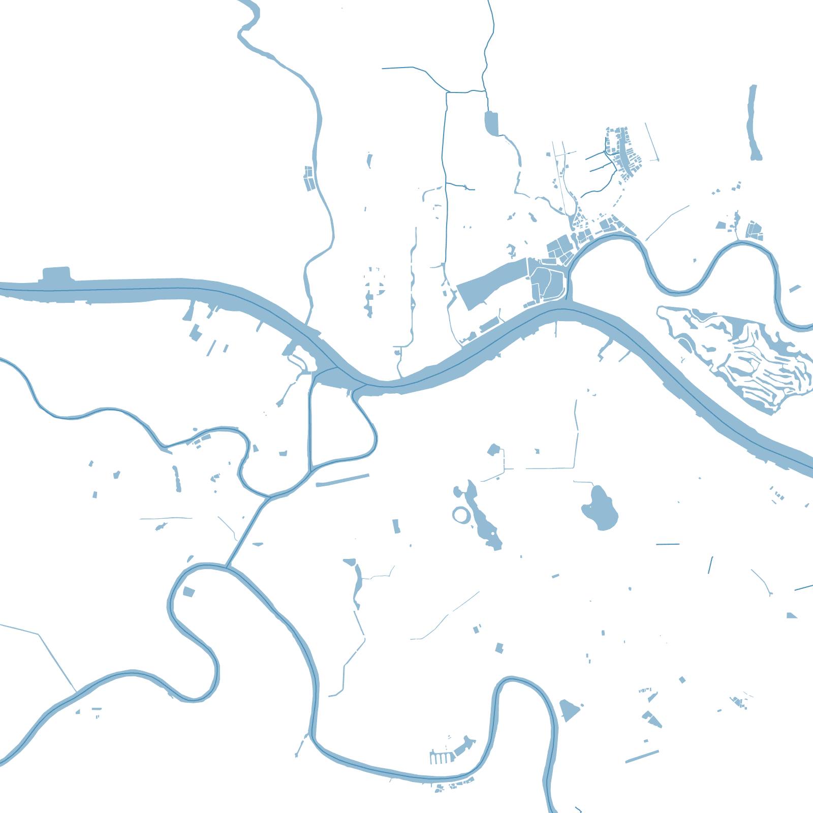
The map shows a city negotiated with water: rivers and canals cut between the grids, and the port has kept moving seaward as ships grew, stringing docks and industry along the Cam toward the coast.