CITYGRID
city archive

Why it looks like this
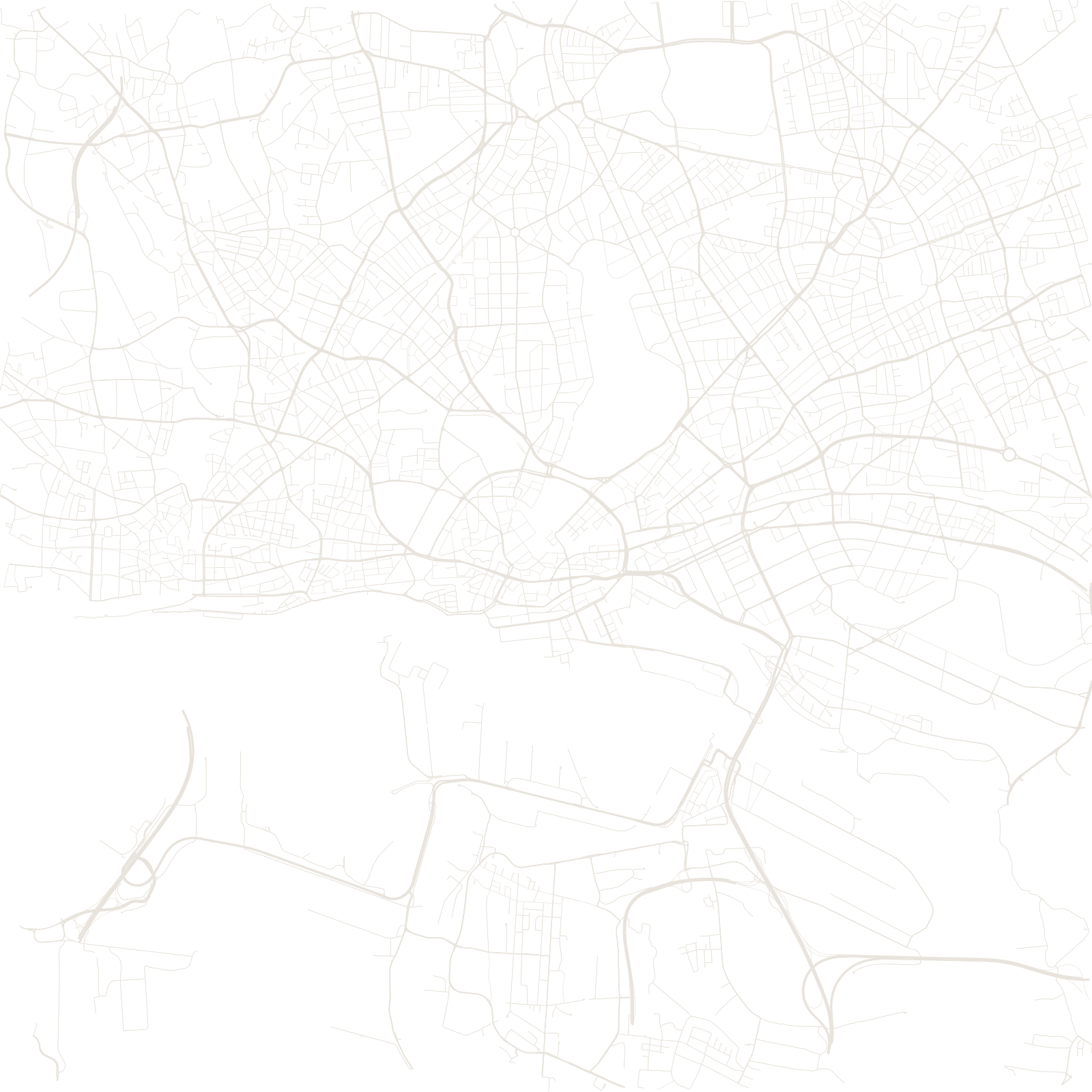
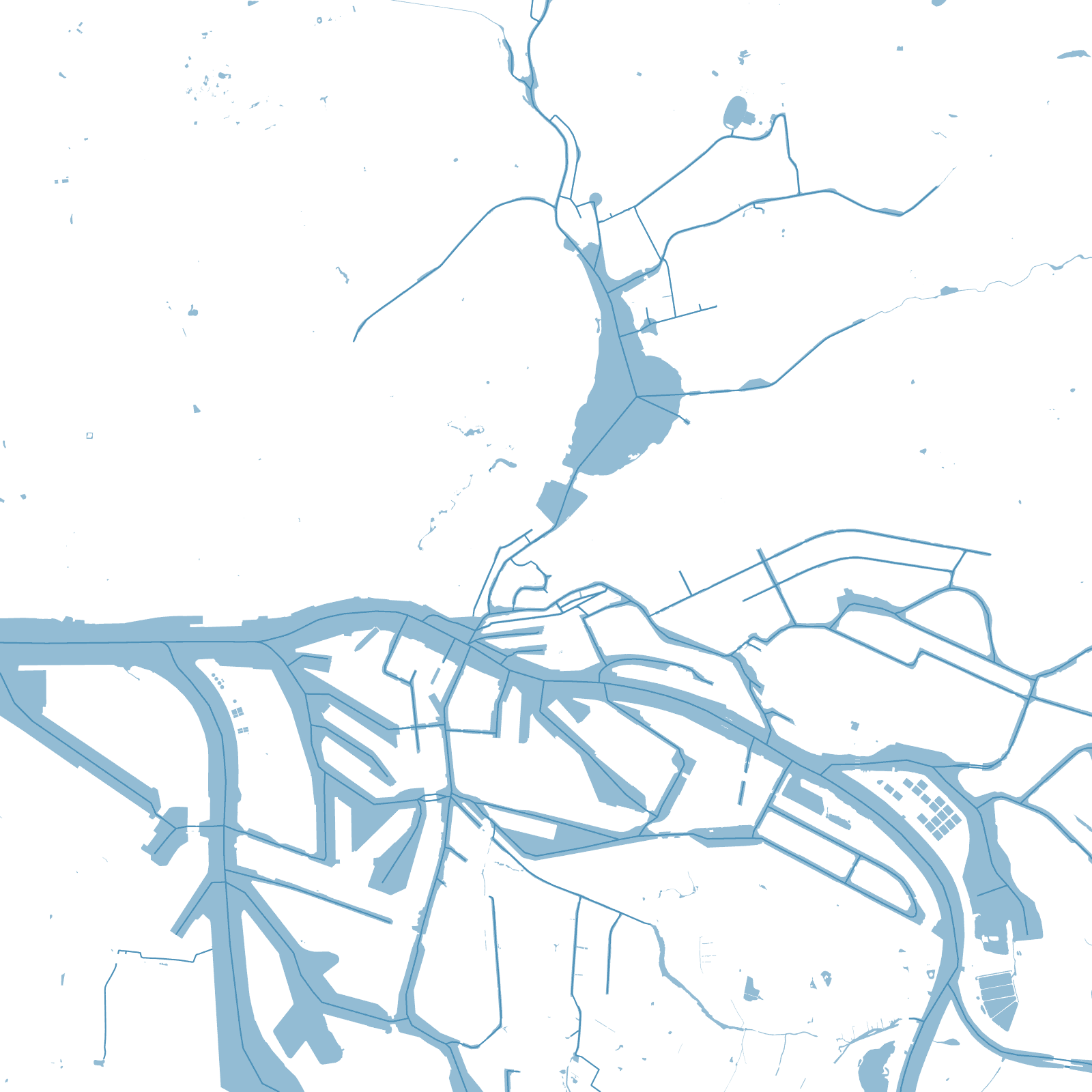
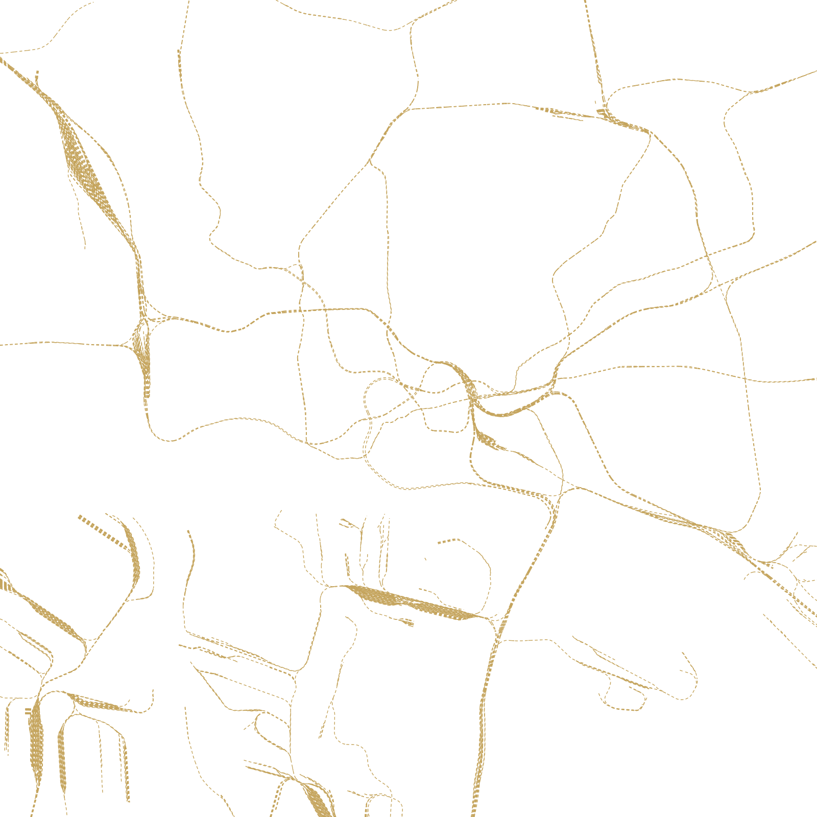
Hamburg is a port city built on water crossings: the Elbe splits into arms around the harbour, the small Alster river was dammed in the Middle Ages into two lakes right at the city's heart, and canals (called Fleete) thread the old merchant quarters and the warehouse district of Speicherstadt.
Fires and war rewrote the streets — the Great Fire of 1842 burned the medieval core, and bombing in 1943 destroyed much more — so the map is a modern network stretched over a very old pattern of islands, dikes and waterways.
≈2,500bridges
1842Great Fire reshaped the centre