CITYGRID
city archive


Why it looks like this
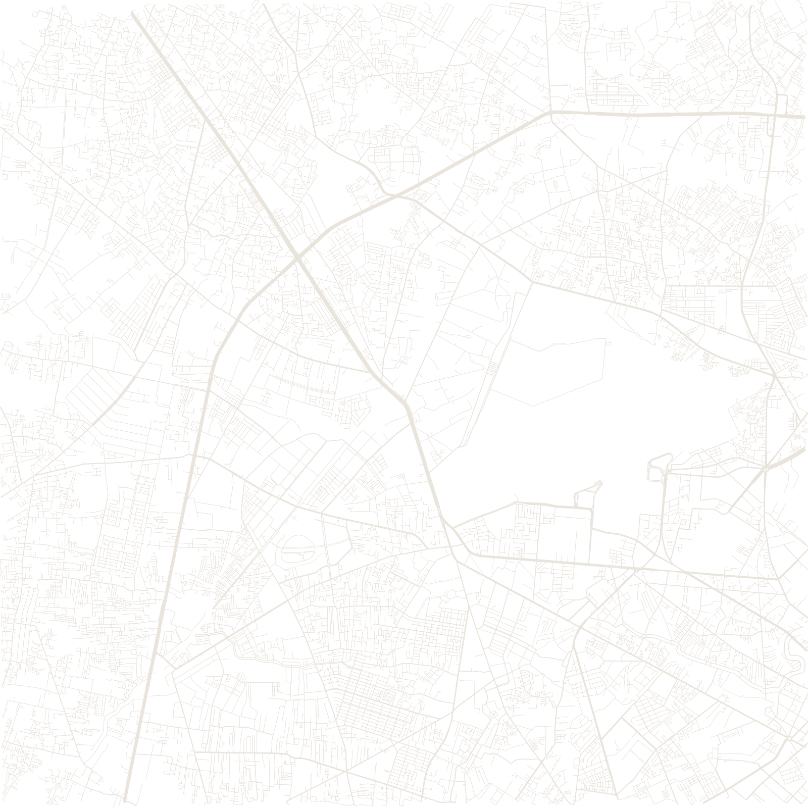
The French rebuilt Saigon after 1859 as a colonial showcase: a grid of wide boulevards, the opera house, the post office, tamarind-shaded streets near the Saigon River. A few kilometres southwest lay Cholon — 'big market' — the Chinese trading city, denser and older in pattern; the two grew until they touched.
The map's finer grain is the hẻm: narrow alleys, often just a metre or two wide, that branch and branch again behind every main street. Most of the city's people live in these alley networks, invisible from the boulevards.
1698Saigon organized under Vietnamese rule
1859French colonial city begun