CITYGRID
city archive
Why it looks like this
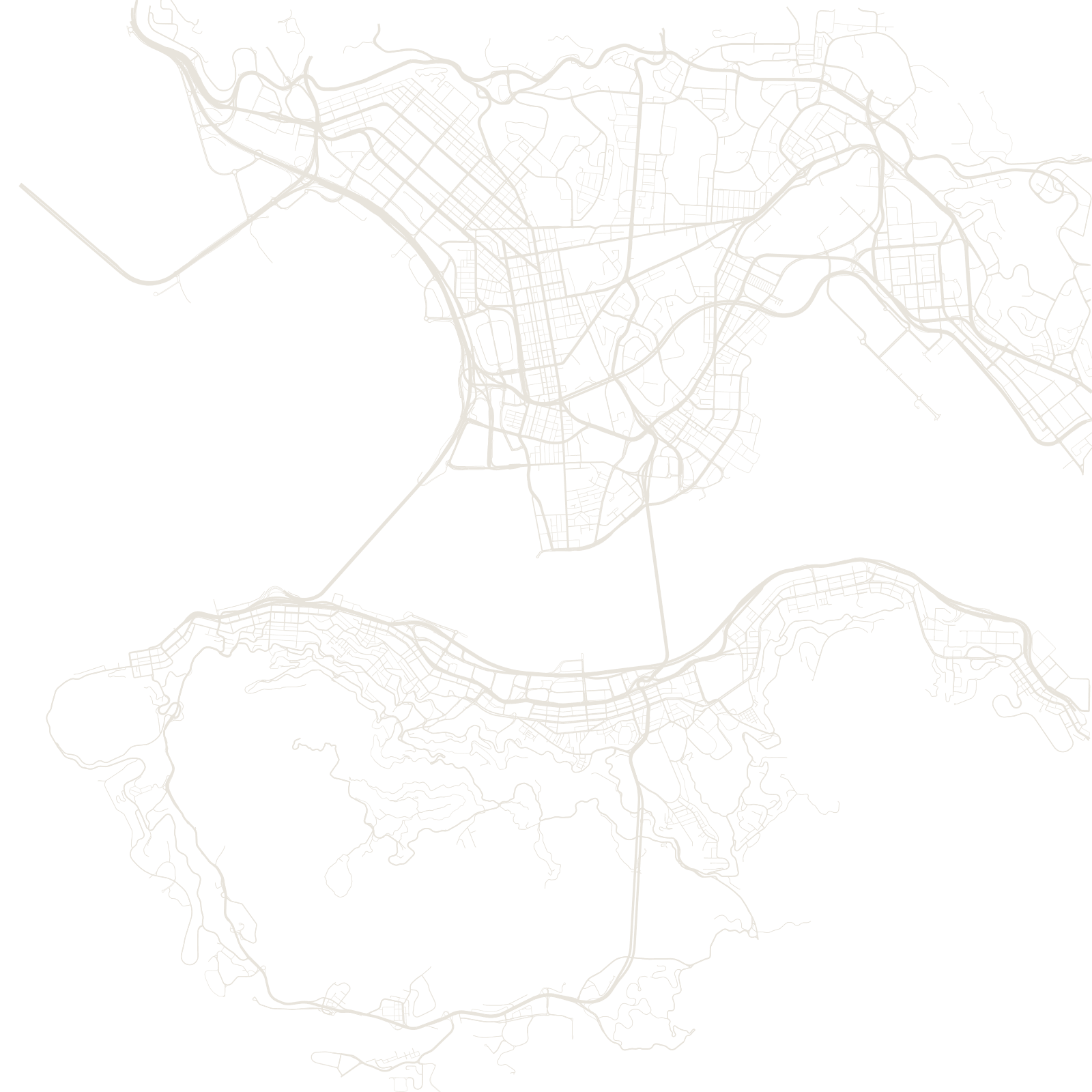
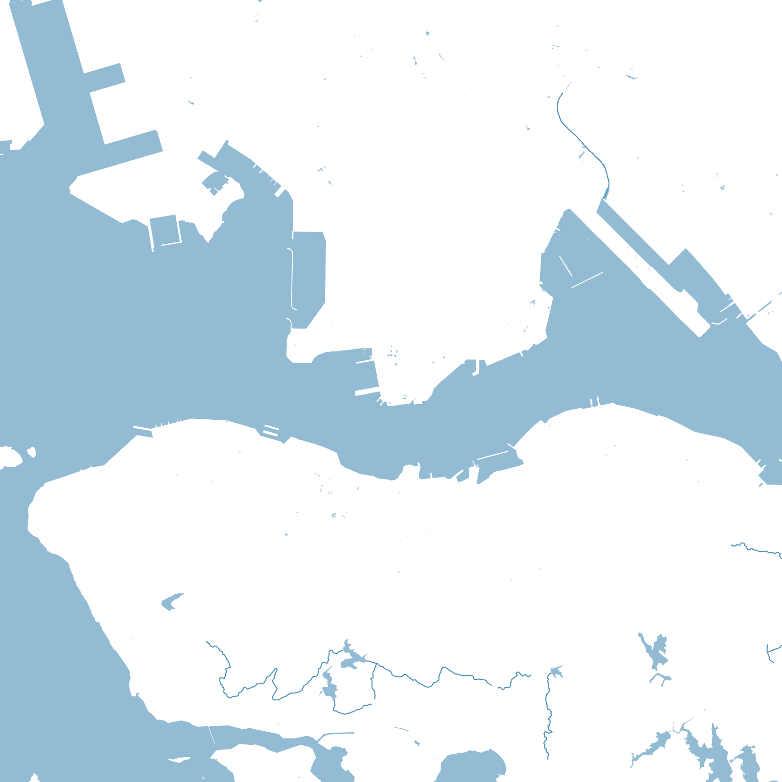
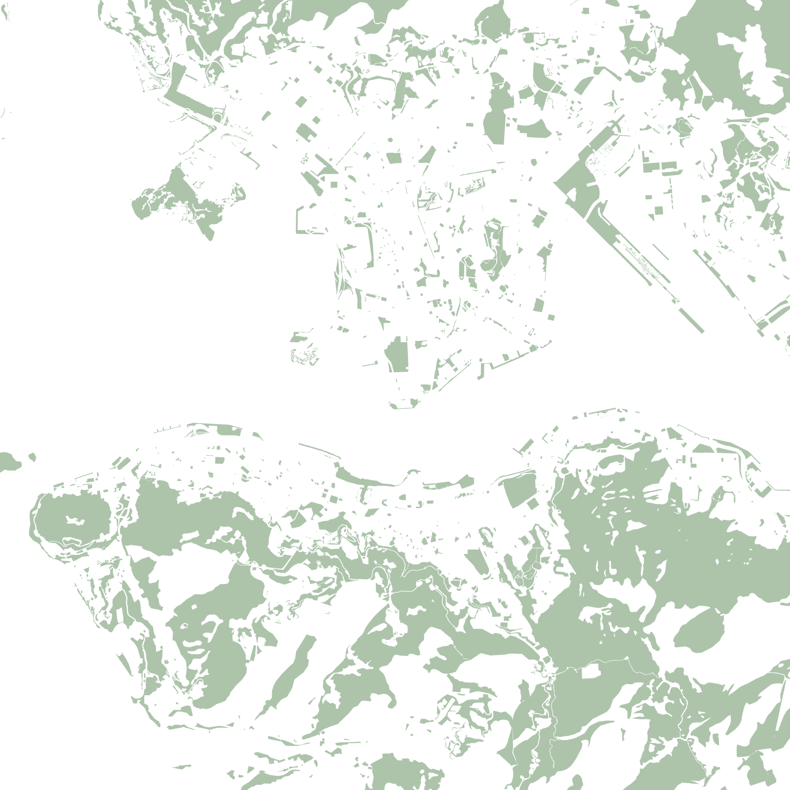
Hong Kong looks endless in photographs, but the map tells the truth: steep mountains leave only slivers of usable land, so the city forms ribbons — the north shore of Hong Kong Island, the Kowloon peninsula, and new towns wedged into valleys. Most of the territory is green country park.
The other secret is that the flattest streets are the newest land. Generations of harbour reclamation created much of Central, Wan Chai and West Kowloon; shorelines on old maps now lie several blocks inland.
≈25%of land built up
1841British port founded