CITYGRID
city archive
Why it looks like this
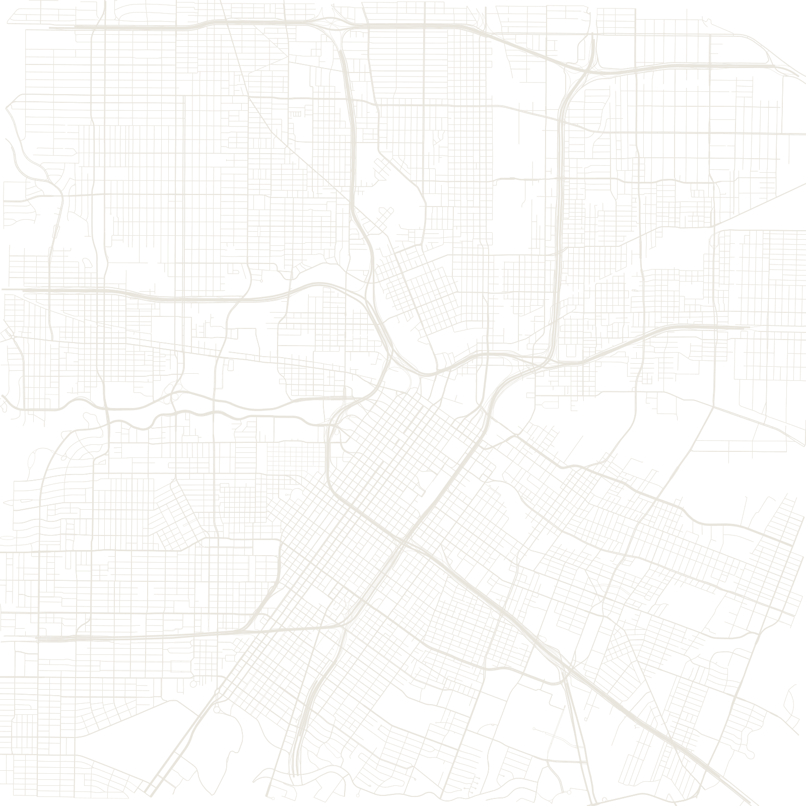
Houston voters have repeatedly rejected zoning, making it the largest American city where land use is not centrally prescribed. The result is a map of surprises — towers beside bungalows, refineries near suburbs — organized less by rules than by highways and deed restrictions.
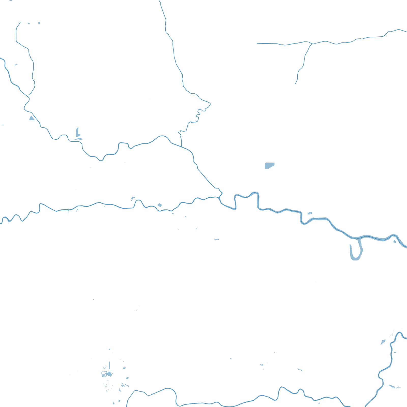
Those highways are the real plan: Loop 610, Beltway 8 and the Grand Parkway form three concentric rings, with radial freeways cutting between them, and the flat coastal prairie let the grid-and-cul-de-sac carpet roll out for tens of kilometres. Slow-flowing bayous — the streams that flood in hurricanes — wind through it all.
0zoning ordinances
3ring highways