CITYGRID
city archive
Why it looks like this
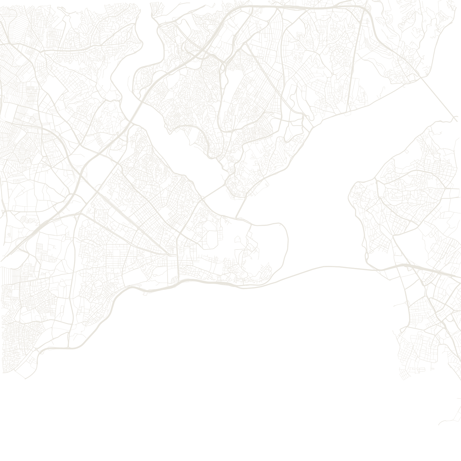
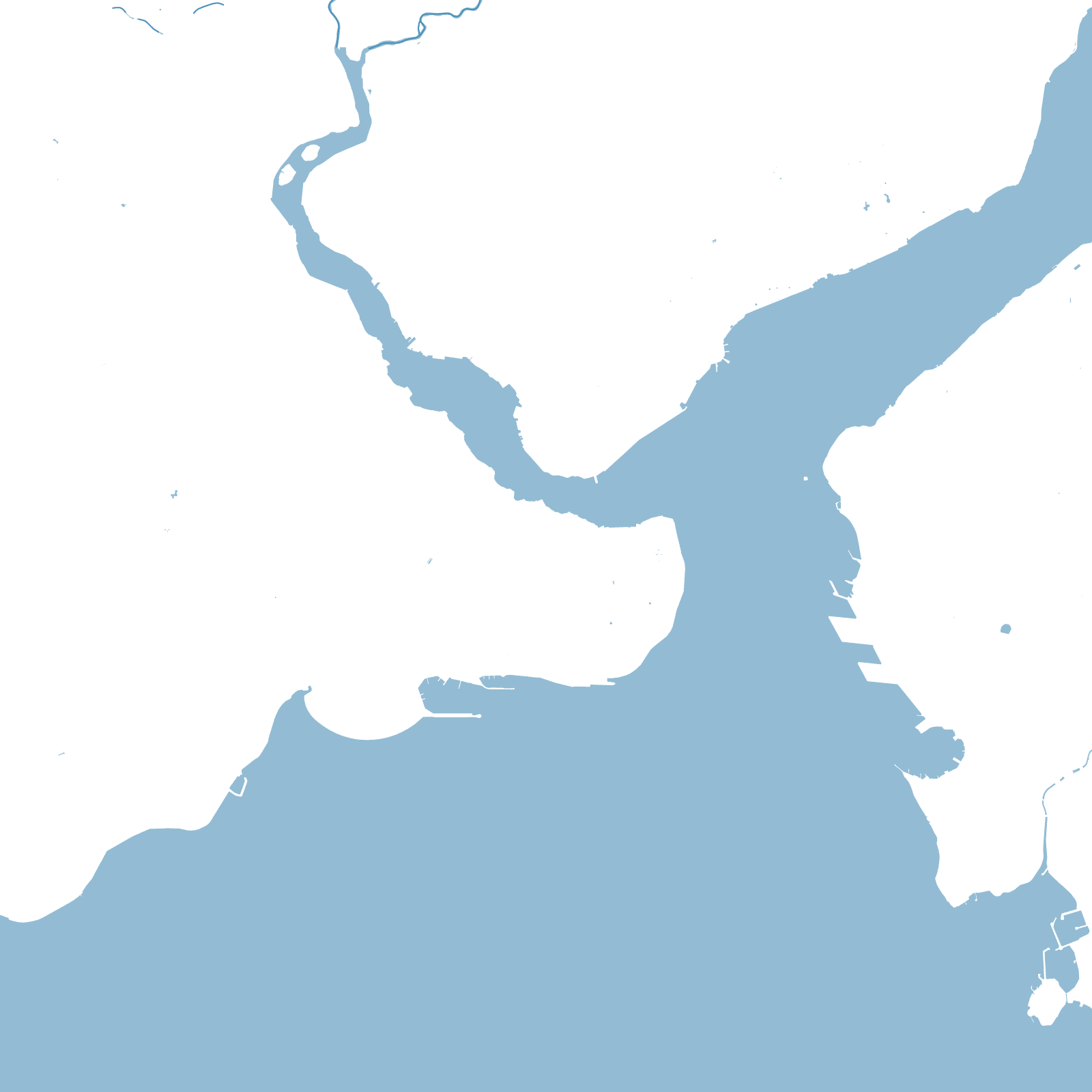
The map is three cities around water: the historic peninsula between the Golden Horn and the Sea of Marmara, still outlined by the Theodosian land walls of 413; Galata and the newer European districts north of the Horn; and Üsküdar and Kadıköy across the Bosphorus in Asia.
From 330 to 1923, first as Constantinople and then as the Ottoman capital, this peninsula governed empires. Its street pattern remembers all of it — Byzantine ceremonial routes under Ottoman bazaar lanes, including the Grand Bazaar's dozens of covered streets — while modern Istanbul spreads along both shores and over three Bosphorus bridges.
2continents
413Theodosian walls completed
3bridges across the Bosphorus