CITYGRID
city archive


Why it looks like this
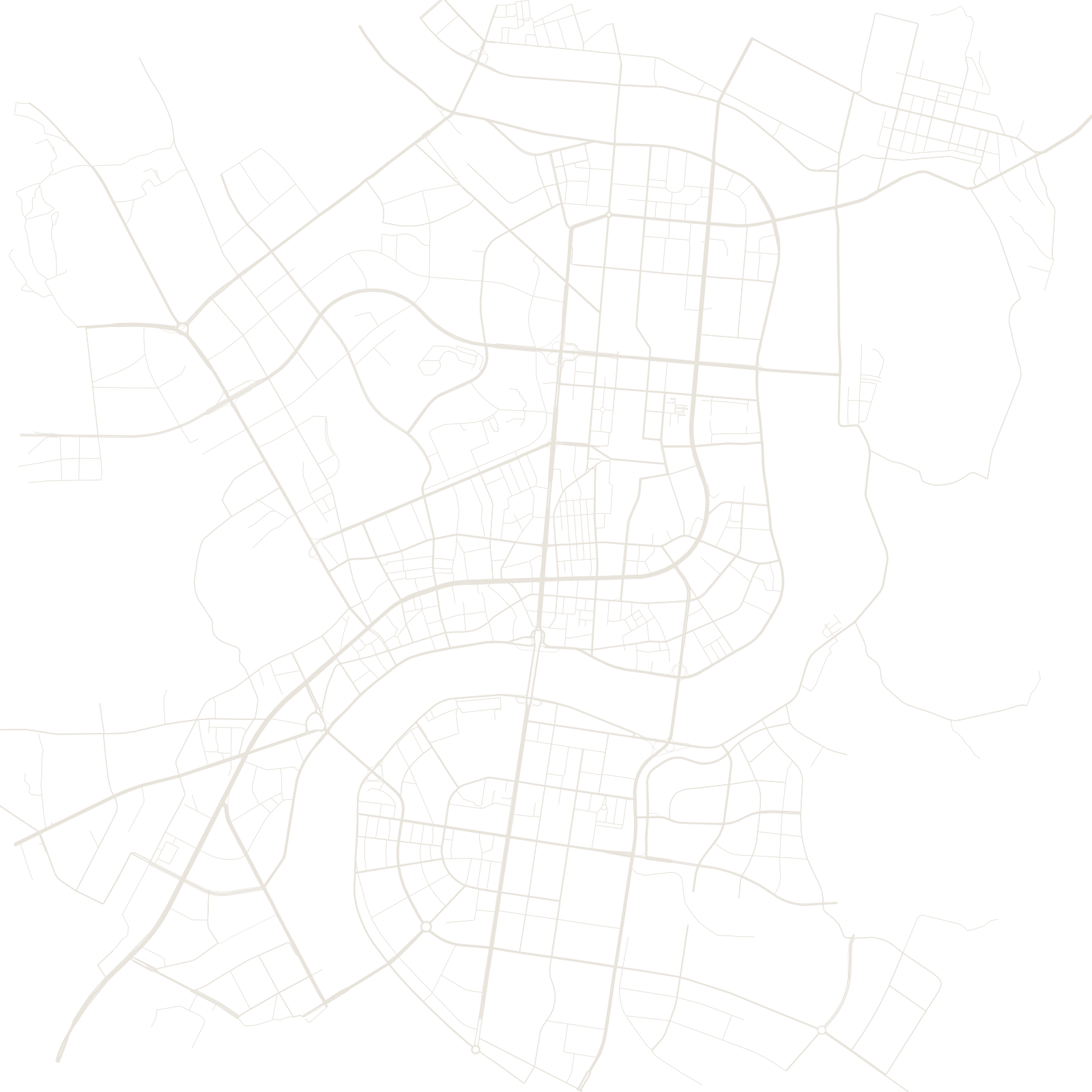
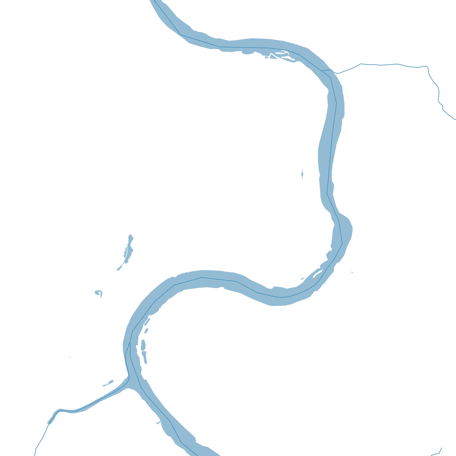
Jilin grew as a Qing-era shipyard and garrison town on the Songhua, and the river is the whole logic of the map: the city fills the inside and outside of a huge bend, with bridges stitching the banks and the main streets curving with the water.
Its winter wonder comes from a dam upstream: water released from the reservoir keeps the river from freezing, and its mist freezes onto the riverside trees as 'wusong' — rime ice — one of China's celebrated winter sights.