CITYGRID
city archive
Why it looks like this
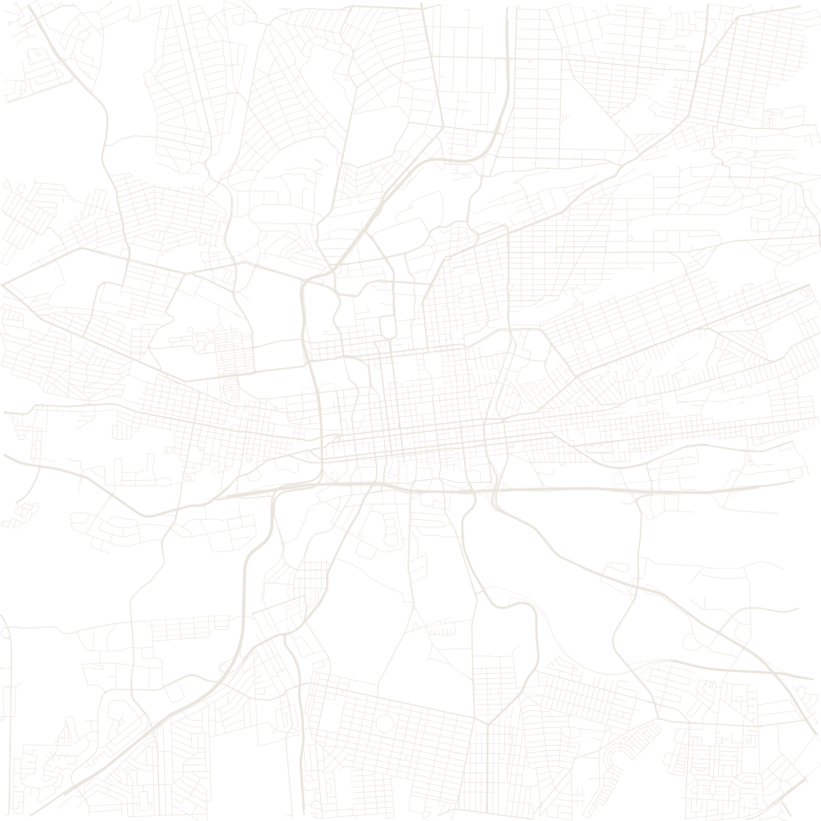
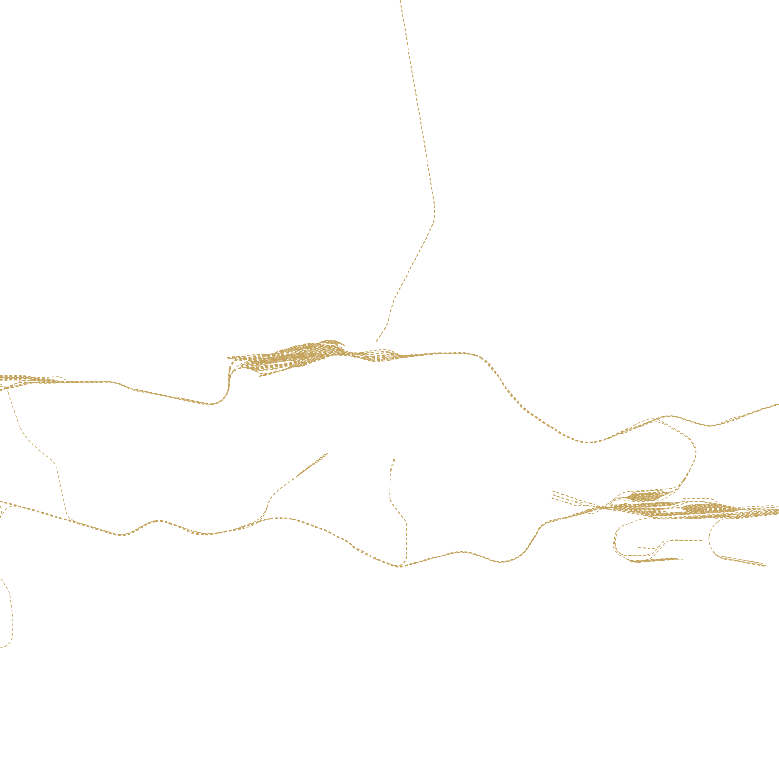
In 1886 an outcrop of the world's richest gold reef was found on a bleak highveld ridge, and a tent camp became Africa's money capital within a decade. The city grid was laid in a hurry along the reef line, which is why the mining belt — yellow mine dumps, shaft sites, wasteland — still runs east–west right through the middle of the map.
Apartheid stretched the map further: townships like Soweto were placed far to the southwest, separated from the centre by the mining belt and buffer zones. Johannesburg remains what geography never intended — a metropolis at 1,750 metres with no water to explain it.
1886gold discovered
≈1,750 maltitude on the reef ridge