CITYGRID
city archive


Why it looks like this
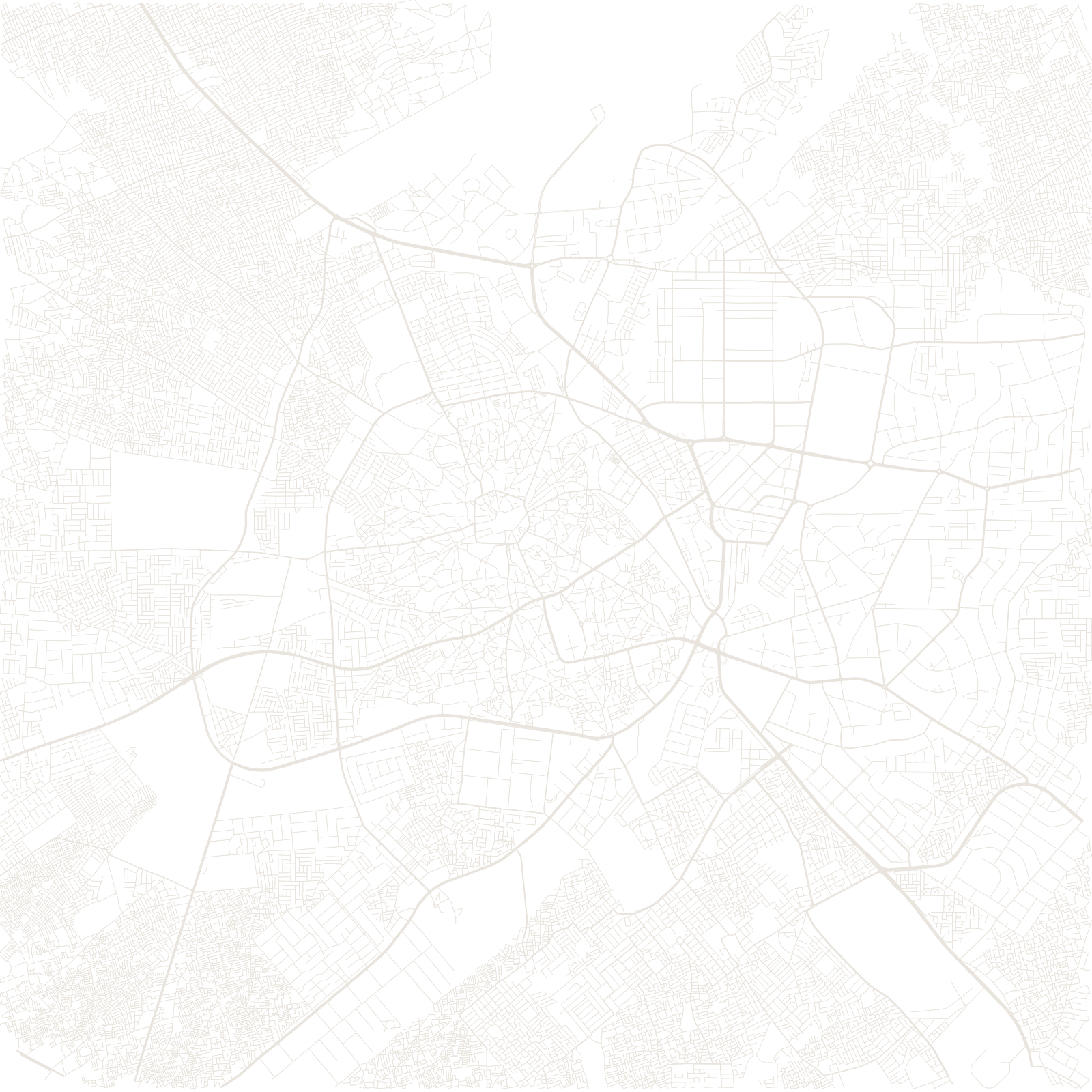
Kano is one of Africa's great pre-colonial cities: a Hausa city-state whose mud-brick walls, begun around the 11th–12th centuries and extended over ages, ran about fourteen kilometres around the old city. Inside, the pattern is ancient — compound walls, winding lanes, the Emir's palace, the great mosque, and the Kurmi market founded in the late 1400s at the hub of trans-Saharan trade.
The British-era and modern city grew outside the walls, including the Sabon Gari ('new town') quarter for migrants — so the map splits between a walled organic core and gridded colonial extensions.
≈14 kmold city walls
1400sKurmi market founded