CITYGRID
city archive



Why it looks like this
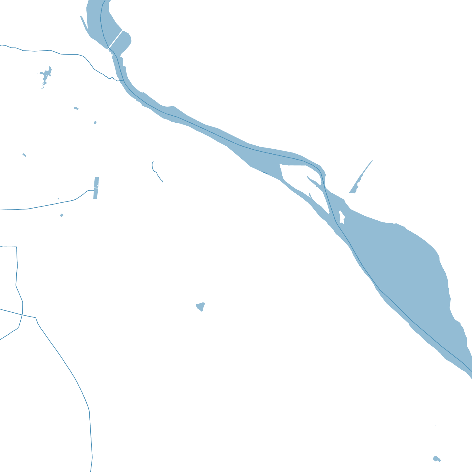
The British made Cawnpore one of their biggest garrison towns in northern India, and the East India Company's cantonment — long straight roads, parade grounds, the Mall — was laid out beside the older bazaars near the Ganges. The city became a battlefield of the 1857 uprising.
Then came industry: cotton and leather mills earned Kanpur the name 'Manchester of the East', drawing workers into dense mohallas around the factories. The map keeps all three cities — cantonment geometry, bazaar tangle, and mill districts along the river.