CITYGRID
city archive
Why it looks like this
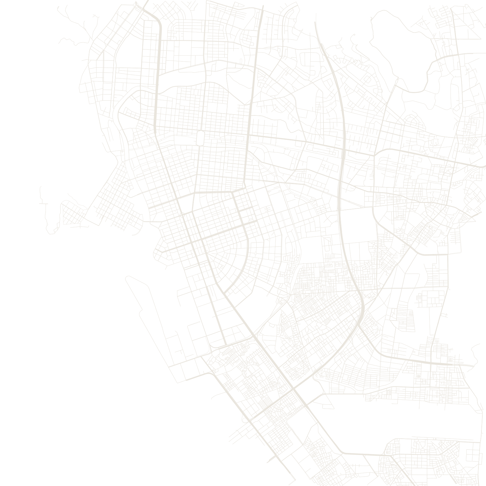
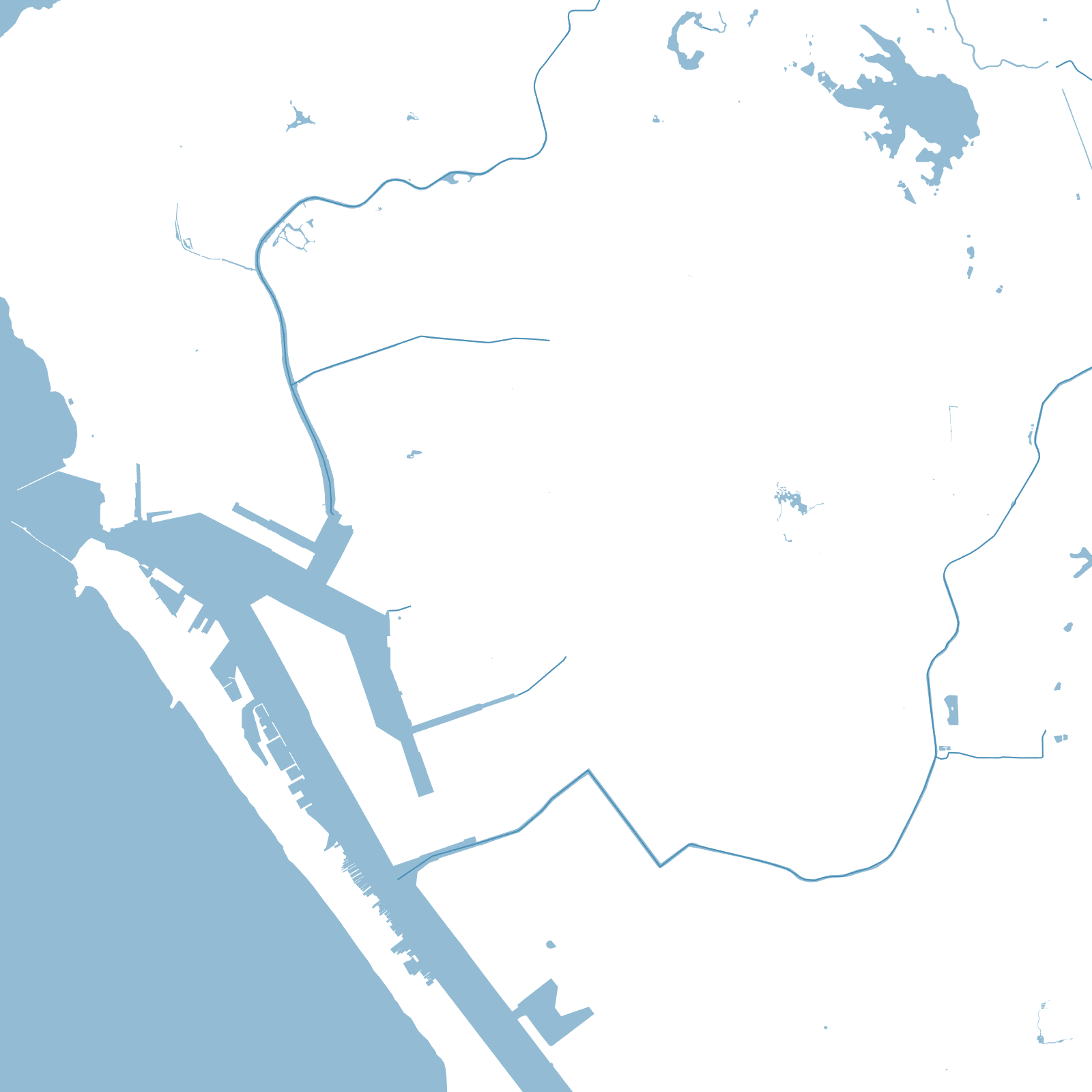
The harbour made the city: a long lagoon protected by the Qijin sandbar island, with a narrow entrance guarded by hills. Under Japanese rule (1895–1945) the port was modernized and a planned grid of wide boulevards was laid across the flat land behind it — the name Kaohsiung itself dates from 1920.
Postwar Taiwan made it the island's heavy-industry capital — steel, shipbuilding, petrochemicals — and the grid marched inland and north, leaving the map remarkably regular for an Asian port city, with the Love River winding through the middle.
1920renamed Kaohsiung under Japanese rule