CITYGRID
city archive

Why it looks like this
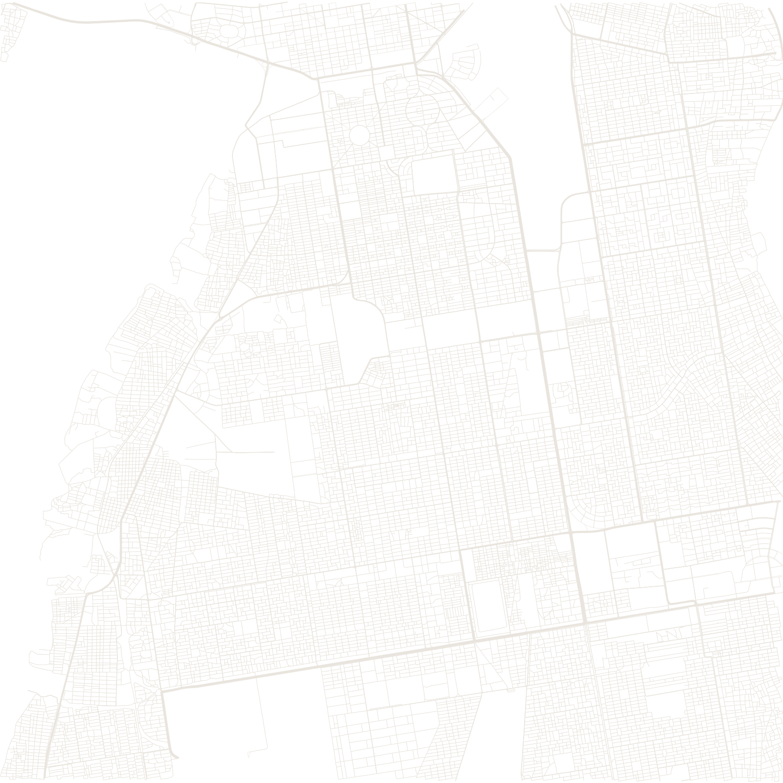
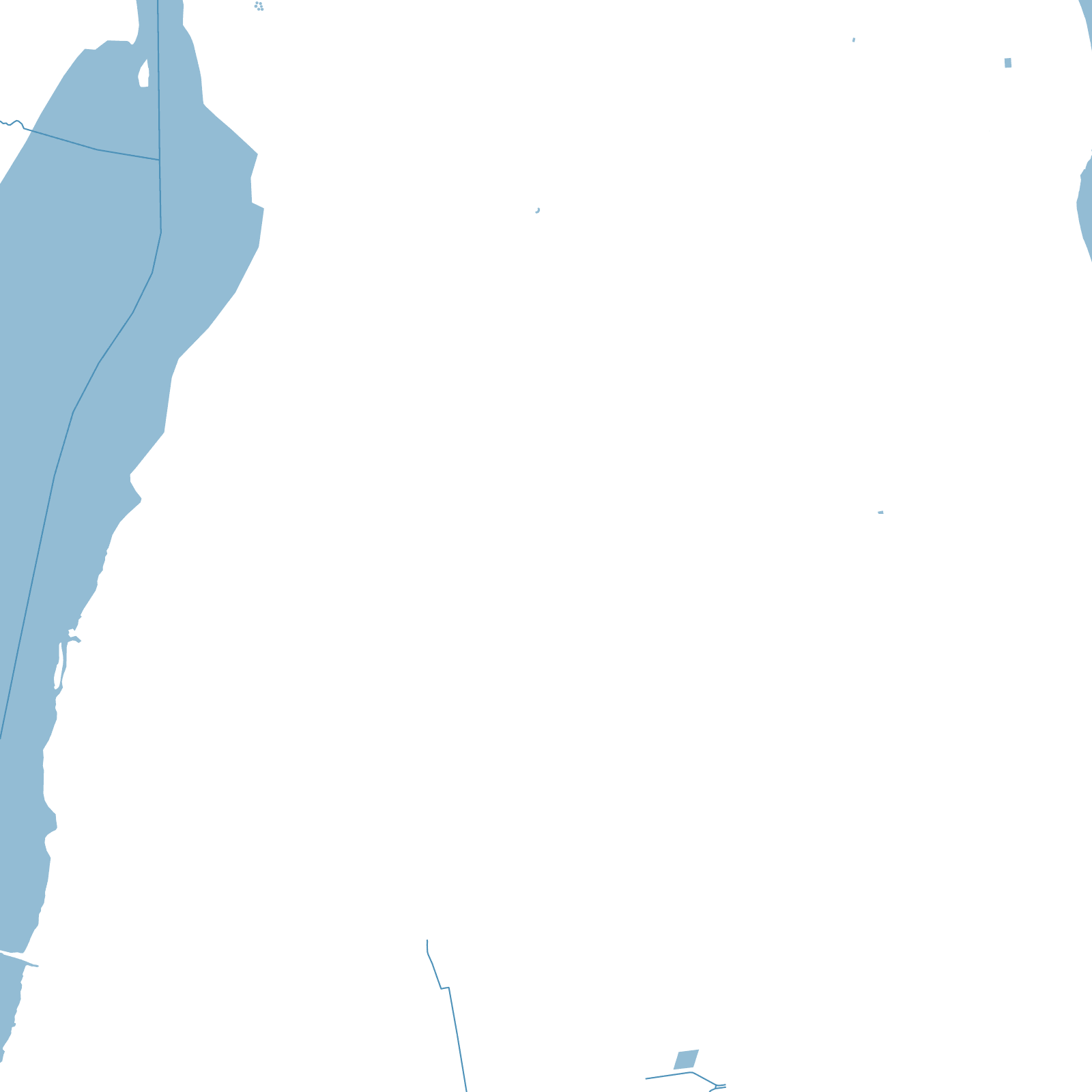
The map's anchor is the confluence: the White Nile arriving from Uganda and the Blue Nile from Ethiopia join at Khartoum, and the three-city capital spreads over their banks — Khartoum proper in the southern angle, Omdurman across the White Nile, Khartoum North (Bahri) across the Blue.
British planners rebuilt Khartoum after 1898 with a formal colonial grid — legend says Kitchener wanted the blocks patterned like Union Jack flags — while Omdurman, the Mahdist capital of the 1880s, kept its indigenous street fabric. Bridges knot the three around the meeting of the waters.
2Niles meeting here
3cities in one capital