CITYGRID
city archive

Why it looks like this
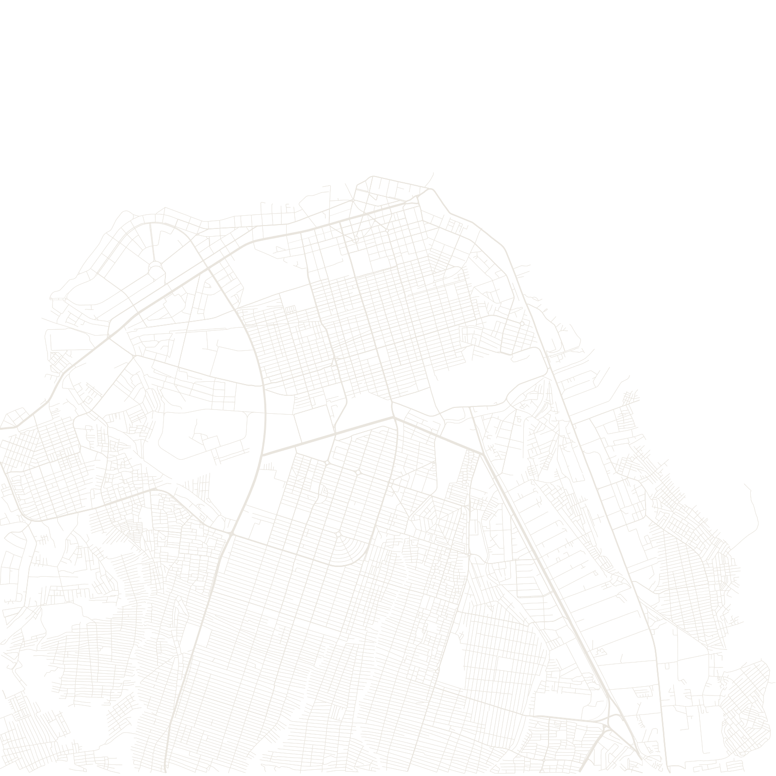
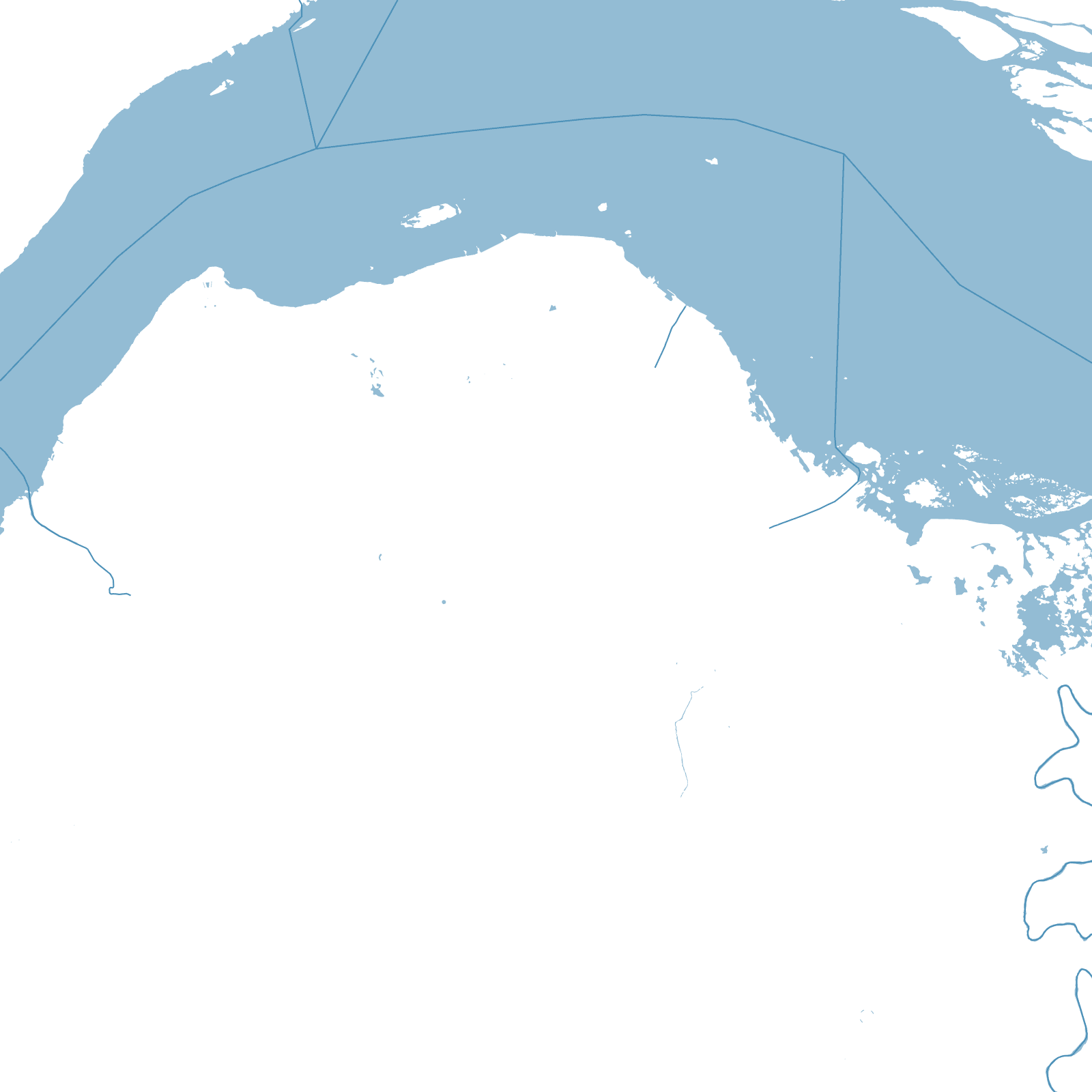
Kinshasa stretches along the south bank of Pool Malebo, the great widening of the Congo River, facing Brazzaville. The Belgian colonial city was deliberately dual: leafy planned avenues in Gombe by the river for Europeans, and the 'cité indigène' — planned but minimal grids — beyond a buffer zone for the Congolese population.
After independence in 1960 the city exploded, growing into one of Africa's largest metropolises, mostly through self-built districts spreading over hills and plains far beyond any plan. The riverfront grid, the old cités, and that unplanned ocean are the map's three textures.
≈17 Mpeople — Africa's largest French-speaking city