CITYGRID
city archive
Why it looks like this
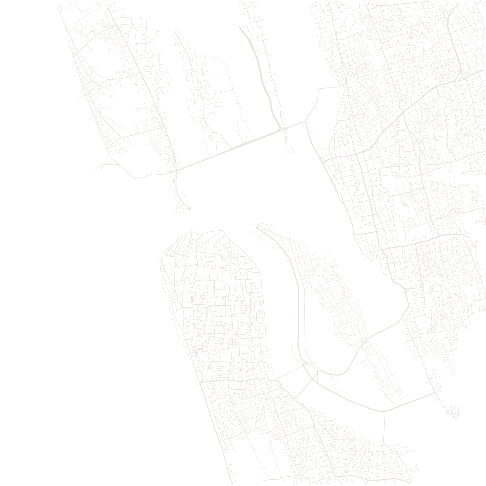
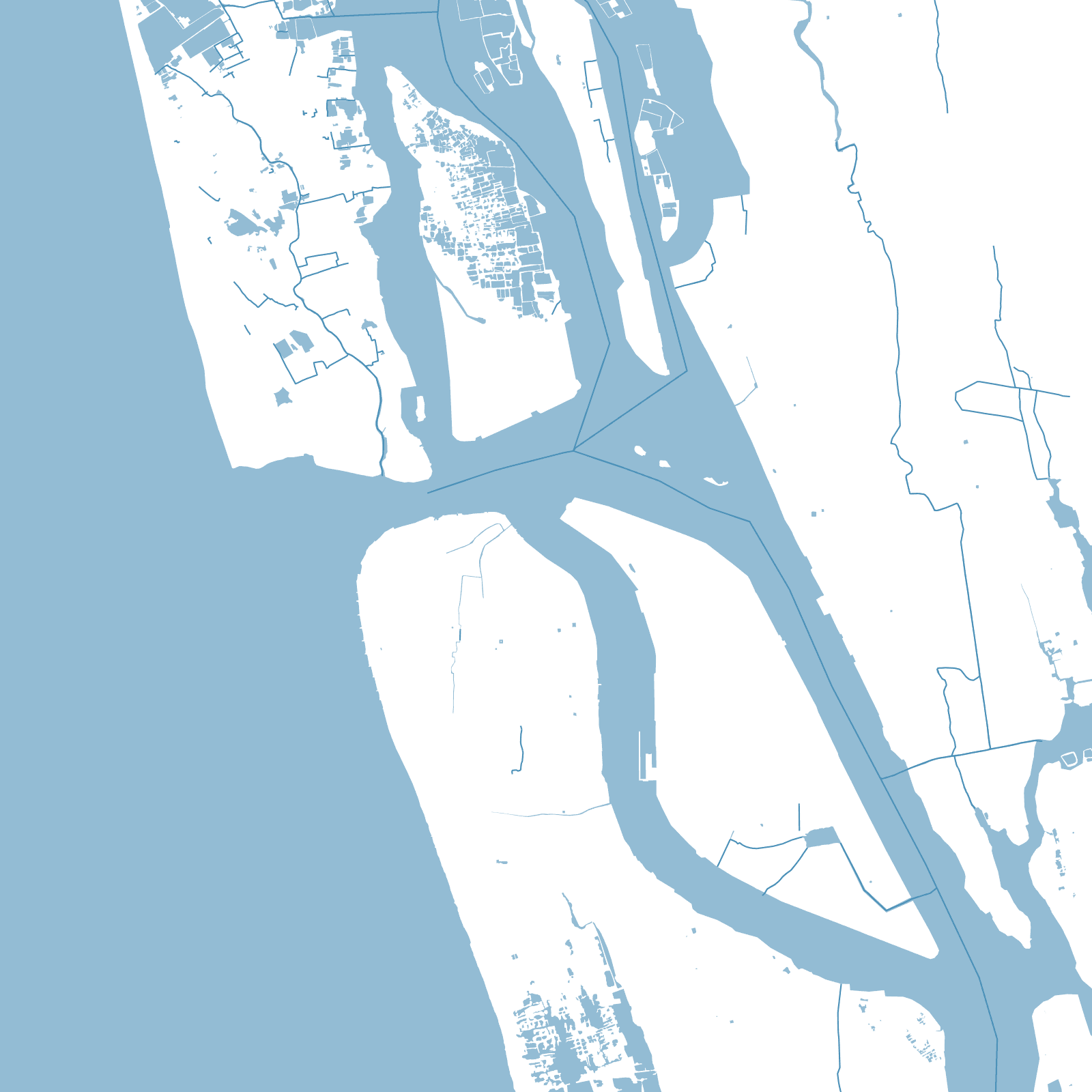
Kochi's map is water first: a wide lagoon harbour separates the old peninsula — Fort Kochi and Mattancherry, with their Portuguese, Dutch, British and Jewish quarters — from the mainland city of Ernakulam. The harbour itself was a gift of disaster: a great flood of the Periyar River in 1341 silted the ancient port of Muziris and opened this estuary instead.
In the middle of it sits Willingdon Island, created in the 1930s when engineer Robert Bristow deepened the shipping channel and piled the dredged sand into new land — an island invented to hold the port, its streets drawn on soil that did not exist a century ago.
1341flood created the harbour
1930sWillingdon Island built