CITYGRID
city archive

Why it looks like this
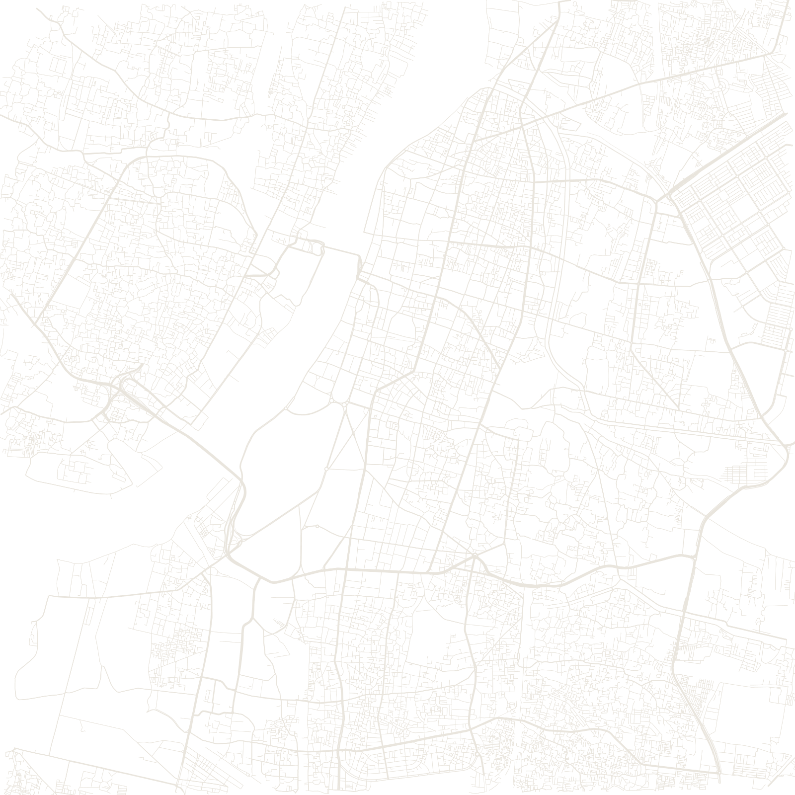
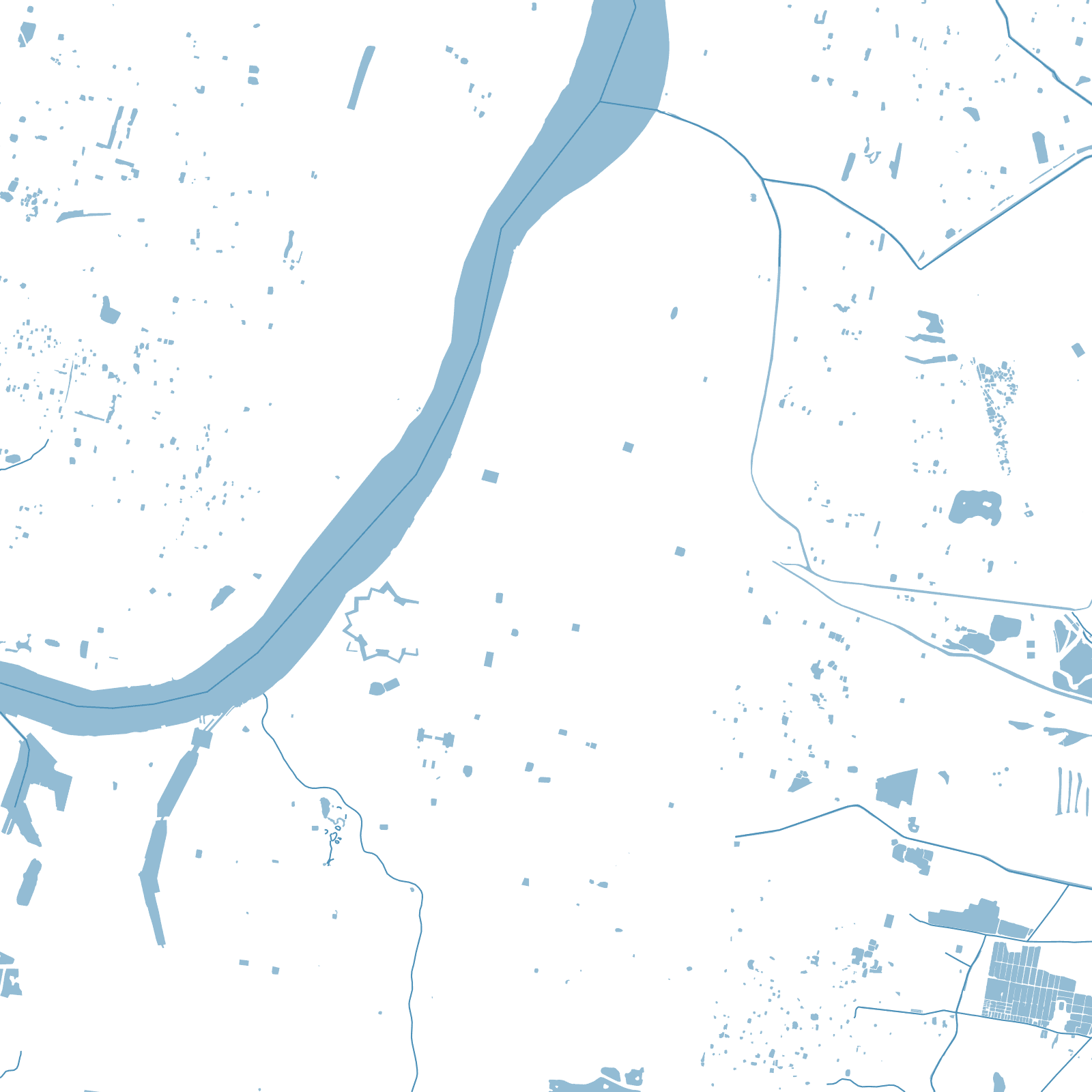
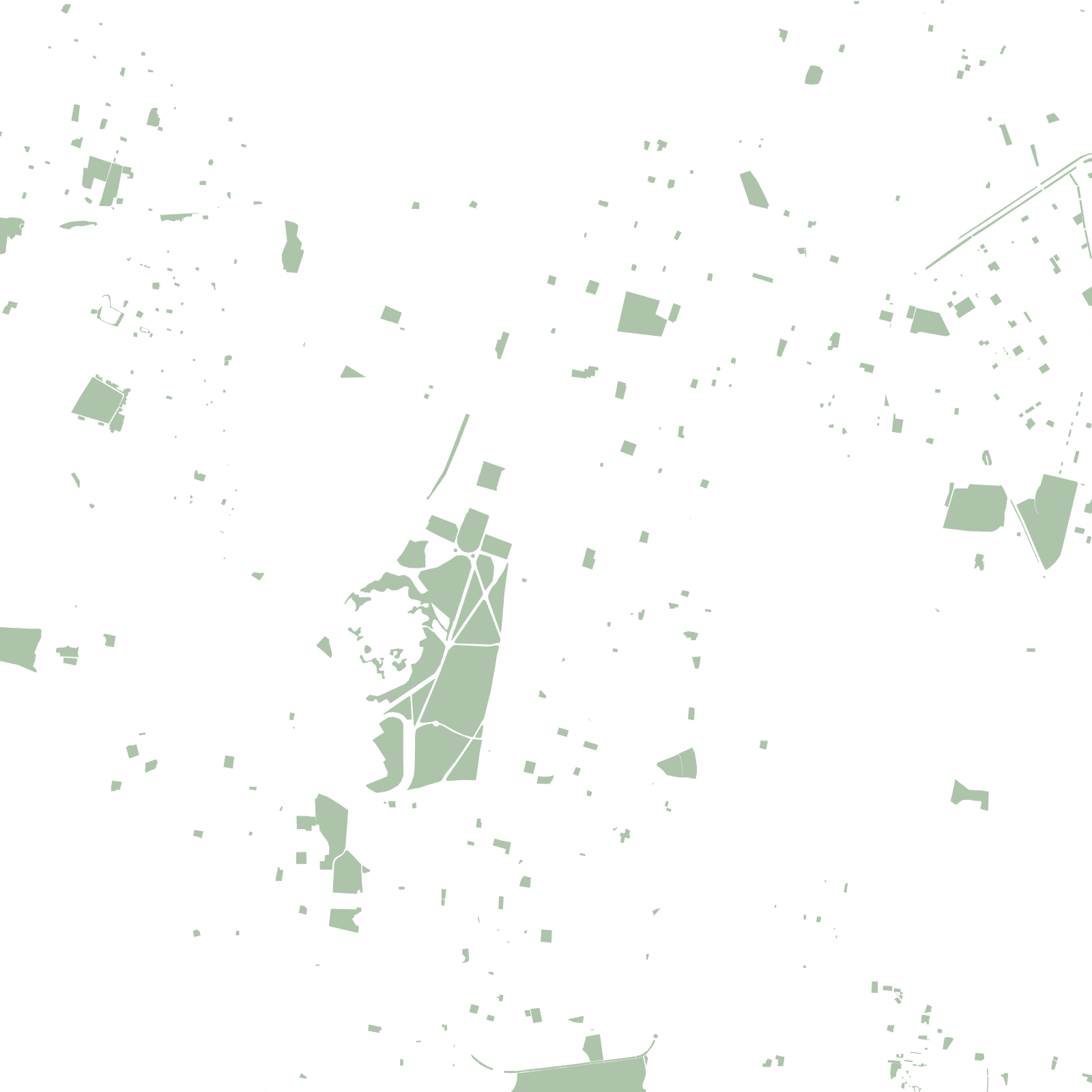
Kolkata was British India's capital until 1911, and its map is colonial logic made permanent. After losing the city briefly in 1756, the British rebuilt Fort William as a massive star fort and cleared everything around it — creating the Maidan, a vast lawn in the middle of the metropolis that survives because it was once a firing range.
Around it the two cities grew: the planned 'White Town' of Chowringhee and Dalhousie Square, and the dense lanes of north Kolkata's older Indian quarters — with Howrah Bridge carrying the whole city's weight across the Hooghly River.
1690British trading post founded
1911capital moved to Delhi