CITYGRID
city archive
Why it looks like this
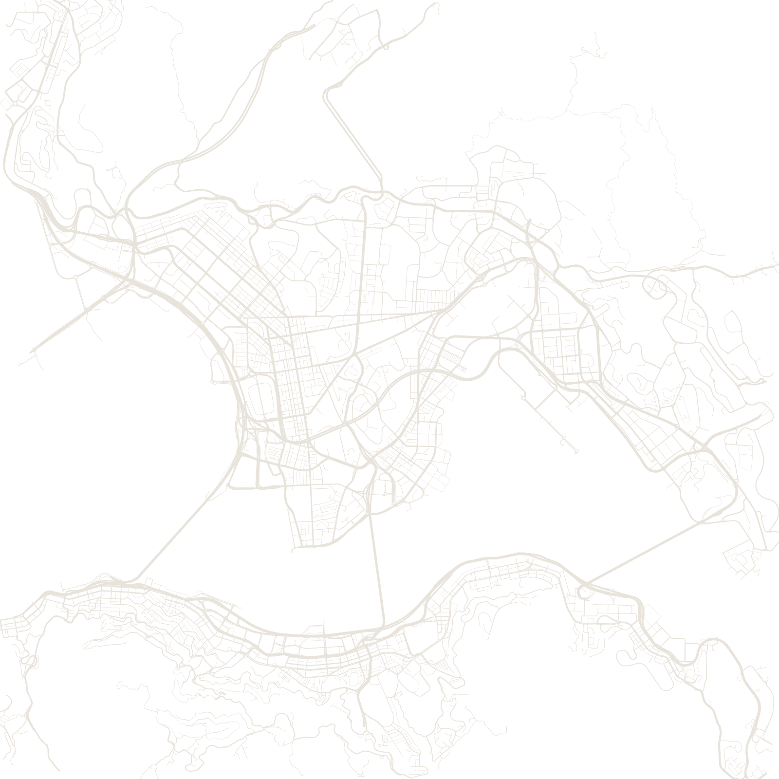
Kowloon's grid was drawn under two deadlines of history. Britain took the peninsula's tip in 1860, and Boundary Street — a perfectly straight east–west road — still marks that old frontier; everything north of it was 'New Kowloon', leased later.
Inside a legal gap between the empires grew the Kowloon Walled City: a single block that neither government policed, which by the 1980s packed around 33,000 people into 2.6 hectares of self-built towers with no streets at all — only interior corridors. It was demolished in 1994 and is now a park, but Kowloon around it remains one of the densest urban areas in the world.
1860Boundary Street frontier set
1994Walled City demolished
≈33,000people in its 2.6 hectares