CITYGRID
city archive

Why it looks like this
Kyiv began on the wooded hills of the right bank more than a thousand years ago: the Upper Town of princes and cathedrals (St Sophia's, from the 11th century), the merchant river-port of Podil below, and Khreshchatyk — the main street — laid along a ravine between hills.
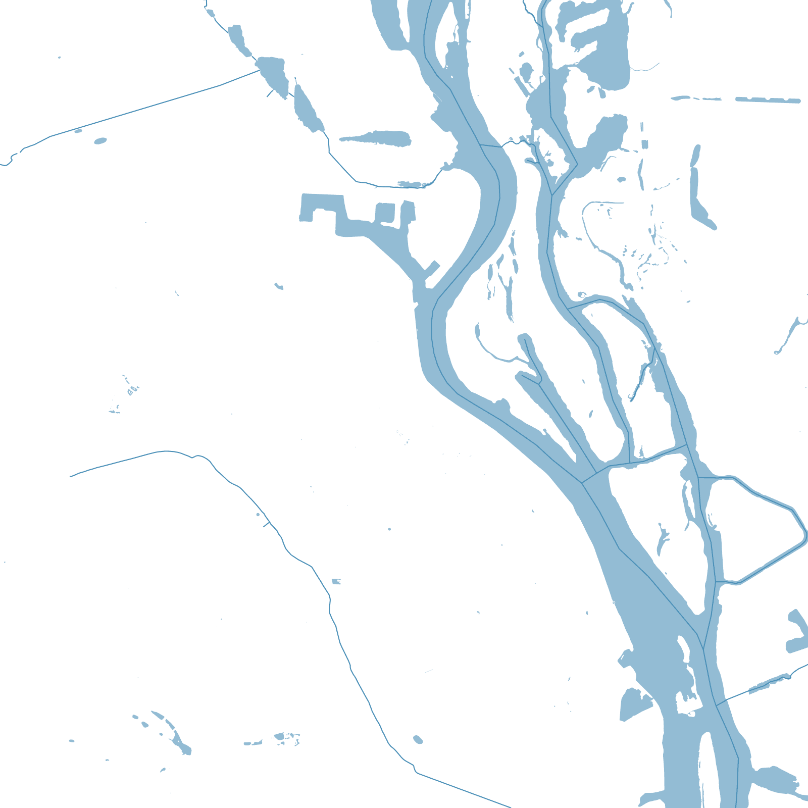
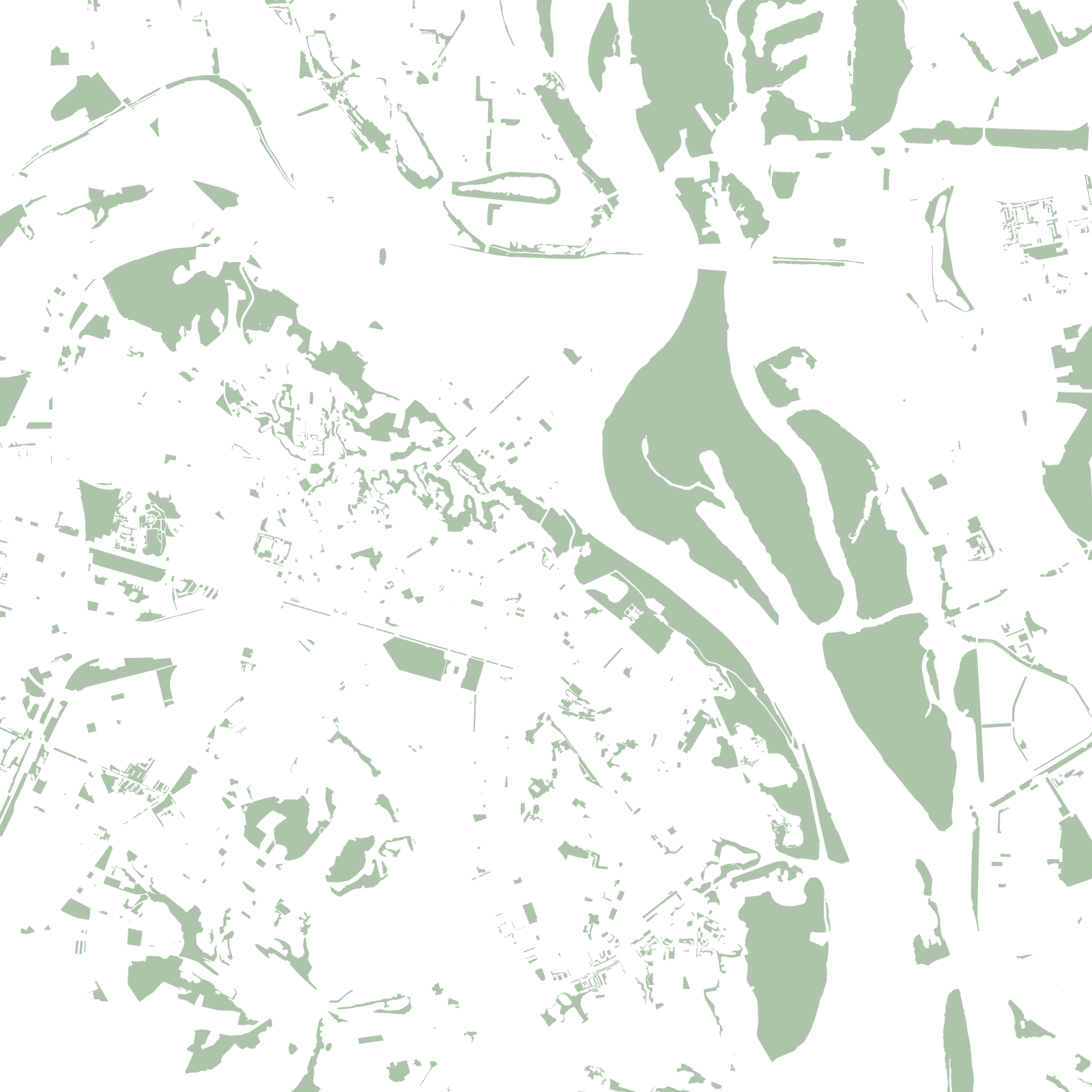
The low left bank stayed meadow and floodplain until the 20th century, when bridges and the metro carried the city across: it filled with large planned housing districts on drained sand. The river between keeps a chain of green islands — a wilderness corridor through a capital.
482official founding year
11th c.St Sophia's Cathedral