CITYGRID
city archive

Why it looks like this
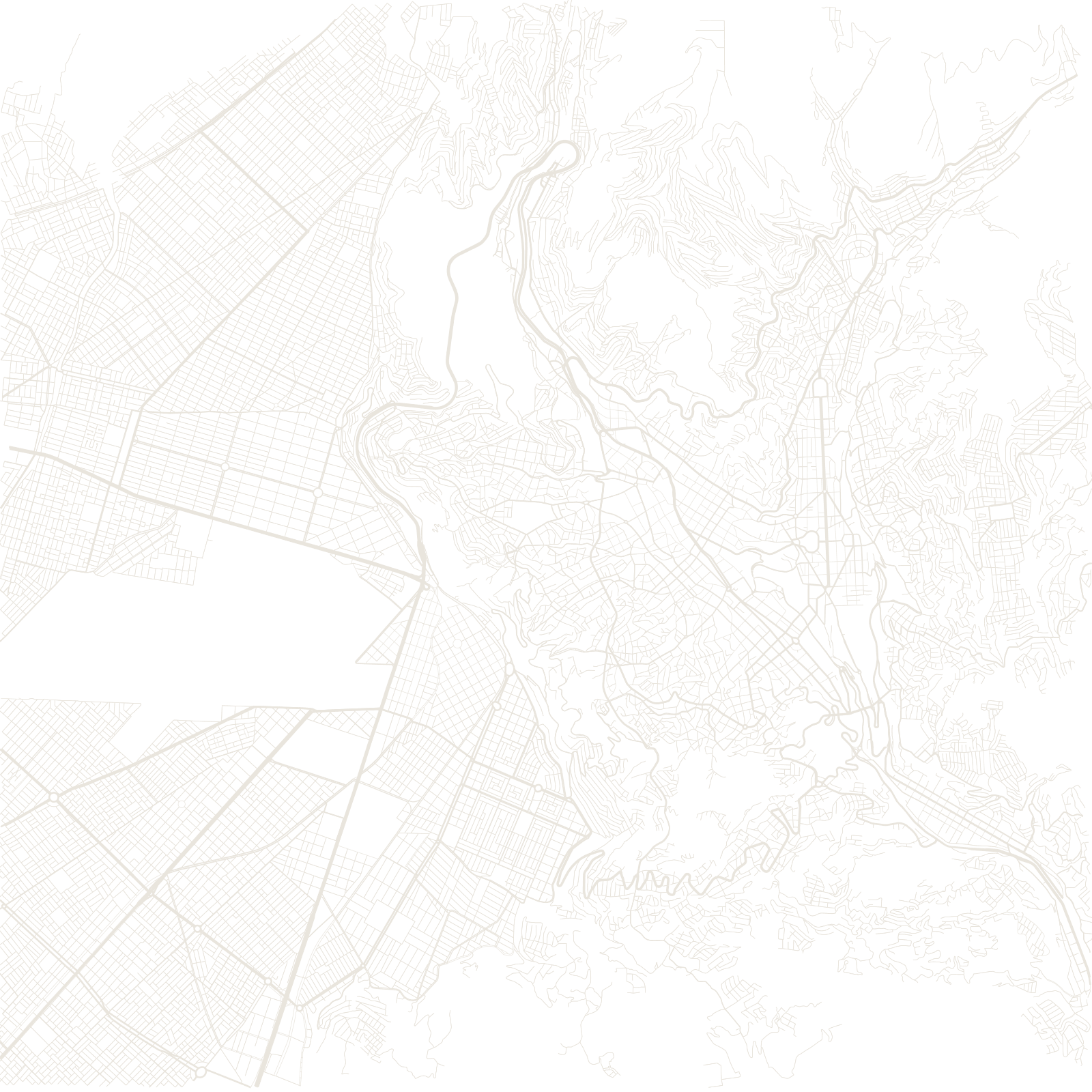
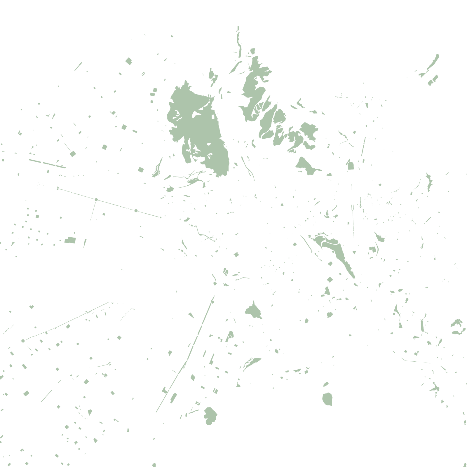
La Paz is upside down by most cities' logic: because oxygen and warmth increase as you descend, the wealthy neighbourhoods are at the canyon's bottom and the poorer ones climb the cold rim — topped by El Alto, a separate city of over a million on the flat altiplano above.
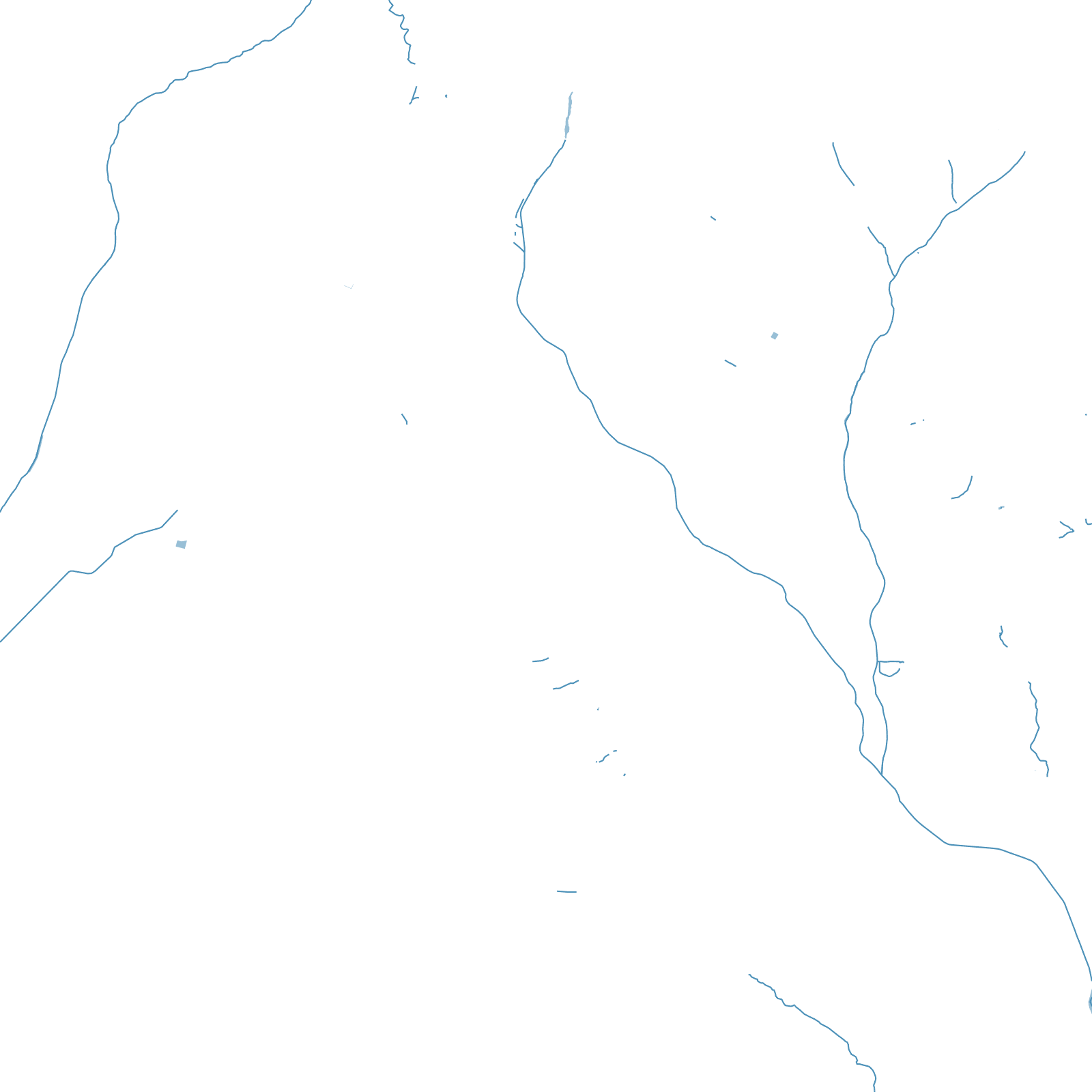
Streets switchback down the canyon walls and follow the gorge of the Choqueyapu River. Since 2014 the two-city bowl has been laced together by Mi Teleférico, a network of urban cable-car lines that functions as the metro system — the largest of its kind in the world.
≈3,600 mcity-centre altitude
10urban cable-car lines