CITYGRID
city archive


Why it looks like this
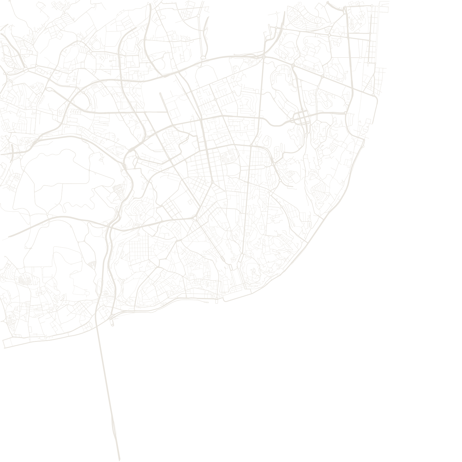
On All Saints' Day 1755, one of history's strongest earthquakes — followed by fire and a tsunami off the Tagus — destroyed central Lisbon. The king's minister, the Marquis of Pombal, rebuilt the lower town (Baixa) as a rational grid of uniform streets between two great squares, using timber-cage construction designed to flex in quakes.
The hills on either side kept their old selves: Alfama's Moorish-era maze survived on its bedrock, and Bairro Alto its 16th-century lanes. So the map is a diagram of the disaster — medieval hills around a rectangle of Enlightenment planning.
1755earthquake, fire and tsunami
7hills of Lisbon