CITYGRID
city archive


Why it looks like this
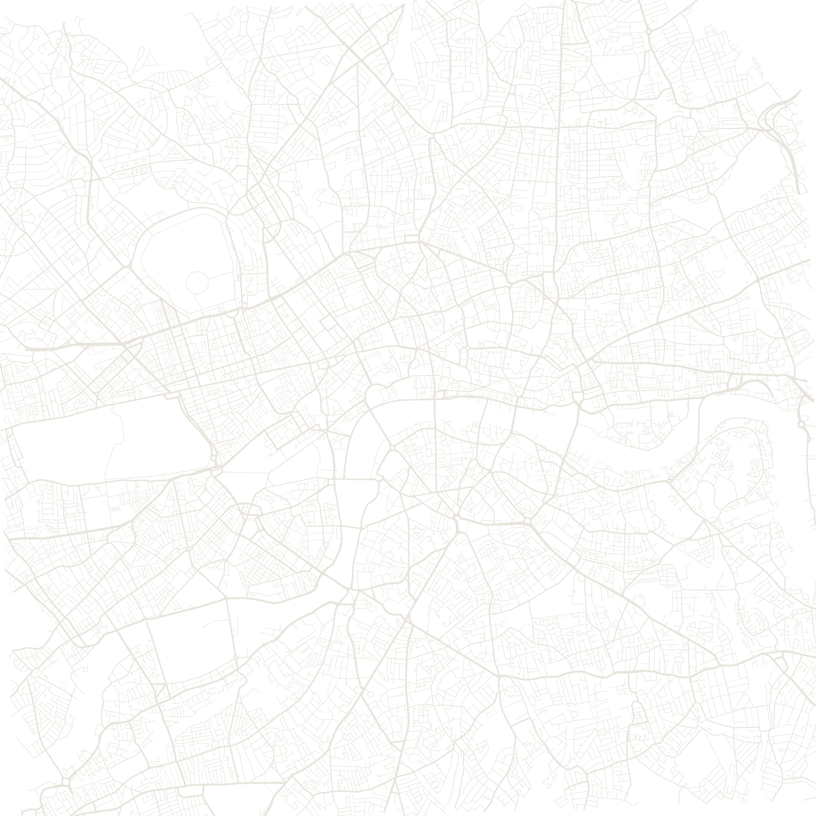
London's tangle survived its best chance of being erased. After the Great Fire of 1666 burned most of the City, the architect Christopher Wren proposed rebuilding it as a European-style grid of avenues and plazas. Property law won: owners rebuilt on their old plots within a few years, and the medieval street lines were fixed in brick.
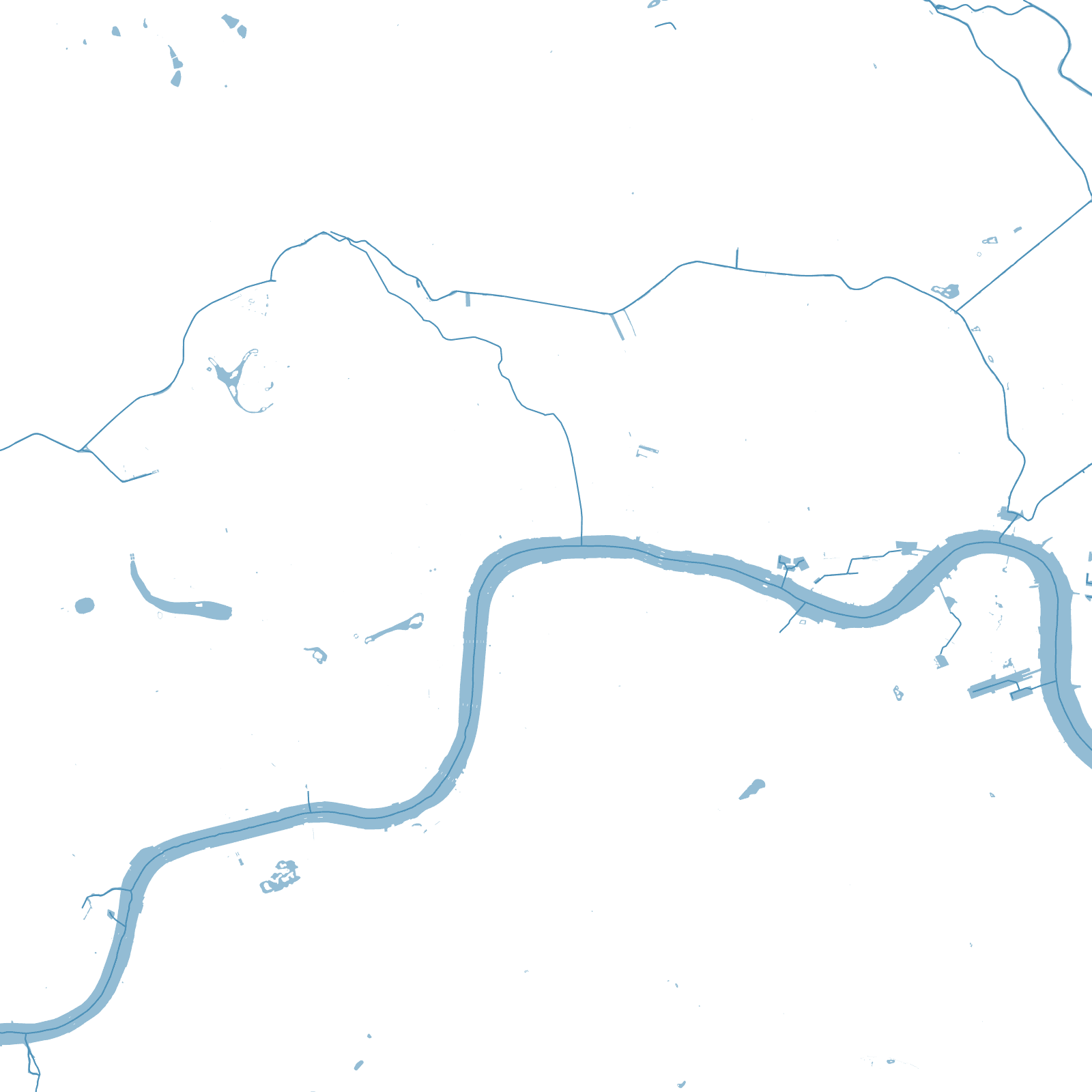
So the modern map is a layered archive — Roman roads, medieval lanes, Georgian squares and Victorian railway cuttings, one on top of another, with the bends of the Thames as the only constant.
1666Great Fire
rejectedWren's grid plan
≈9 Mpopulation