CITYGRID
city archive

Why it looks like this
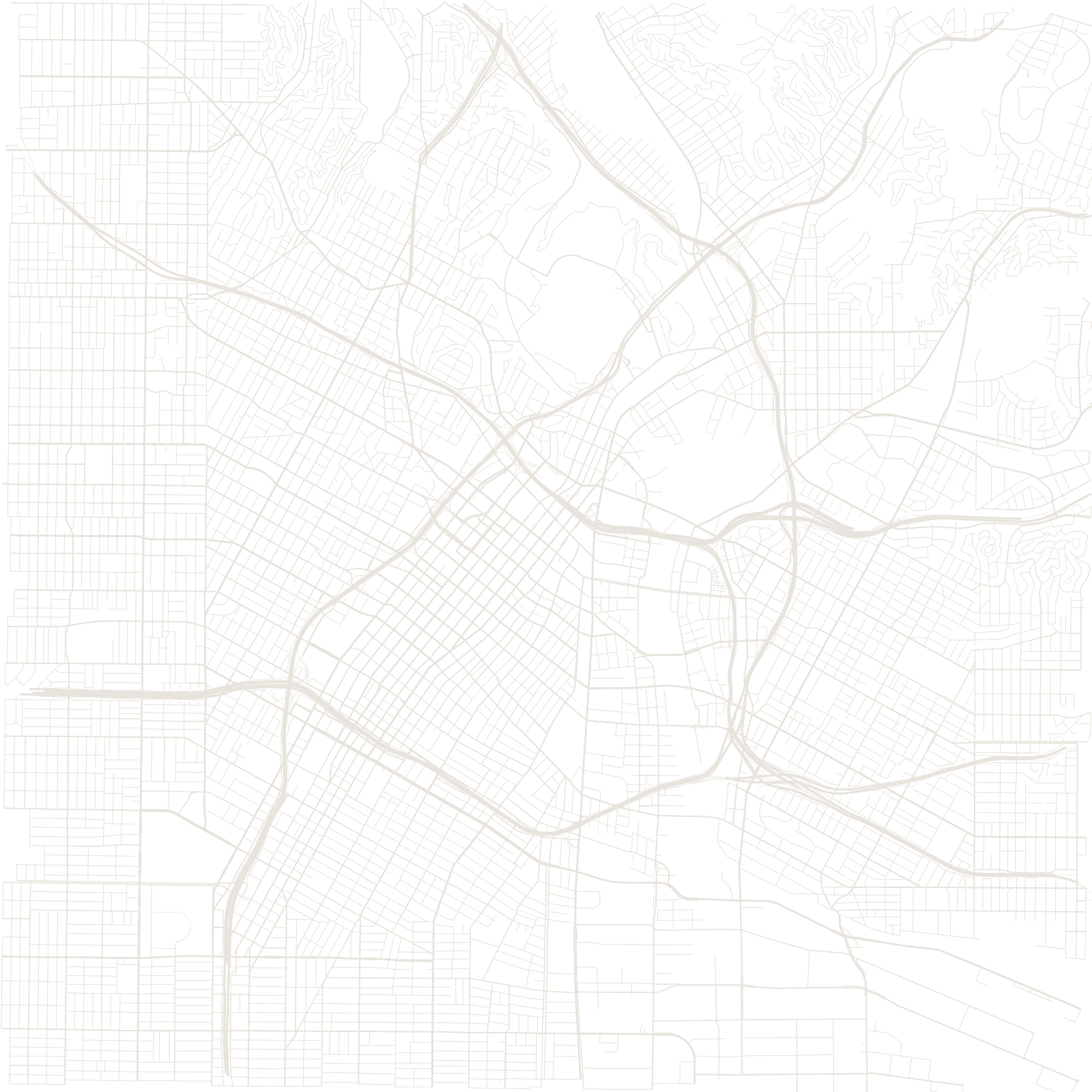
Los Angeles began in 1781 as a Spanish farming pueblo, its plaza and streets angled roughly 36 degrees off north as colonial law prescribed, aligning with the river. When Americans platted the growing city, they used the national survey's north–south grid — so downtown is a visible collision of two systems, with kinked blocks where they meet.
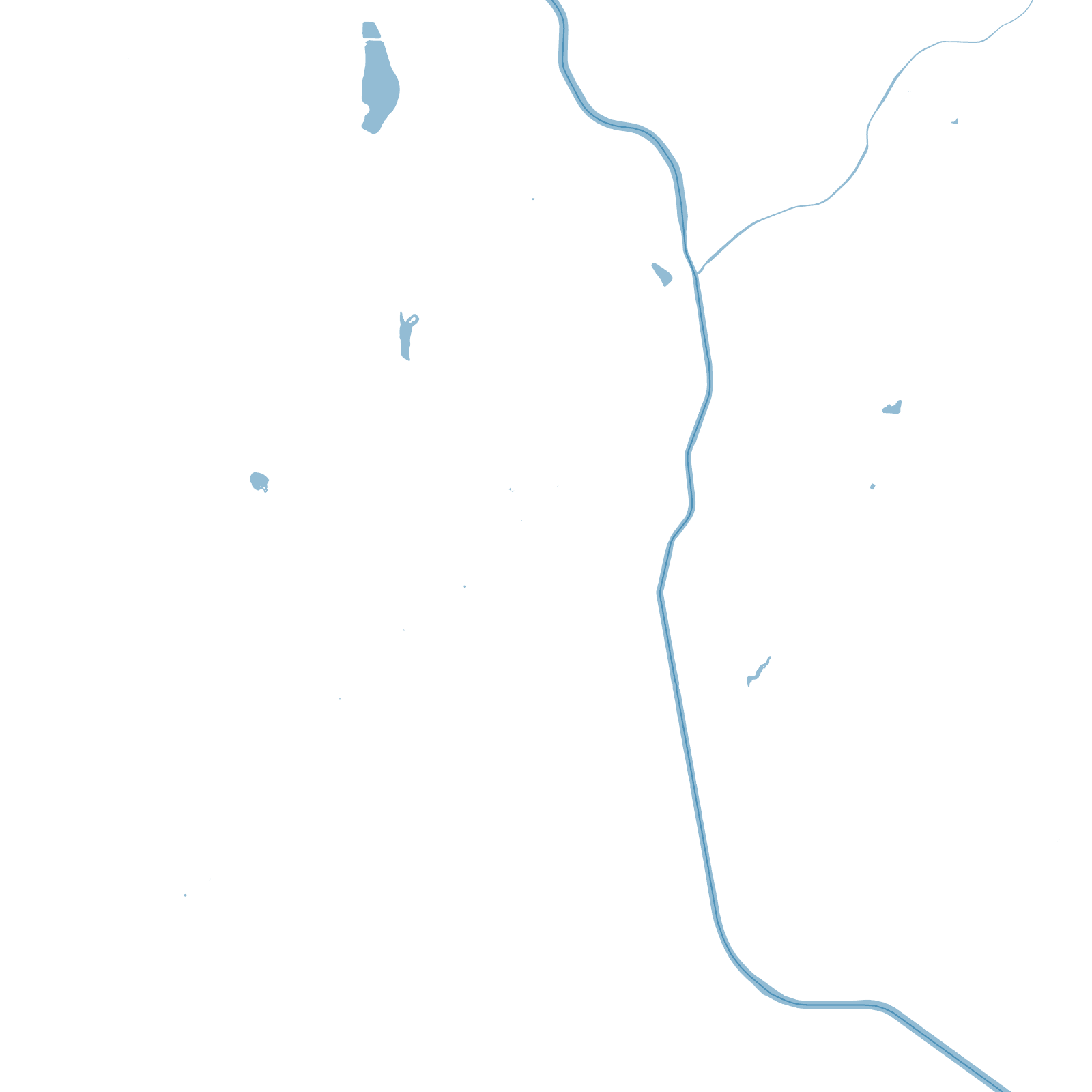
The rest of the map is the 20th century at full speed: a mosaic of subdivided grids across basin and valley, stitched by freeways, with the Los Angeles River — encased in concrete after the 1938 flood — running through it like a drainage diagram.
1781pueblo founded
1938flood led to the concrete river