CITYGRID
city archive
Why it looks like this
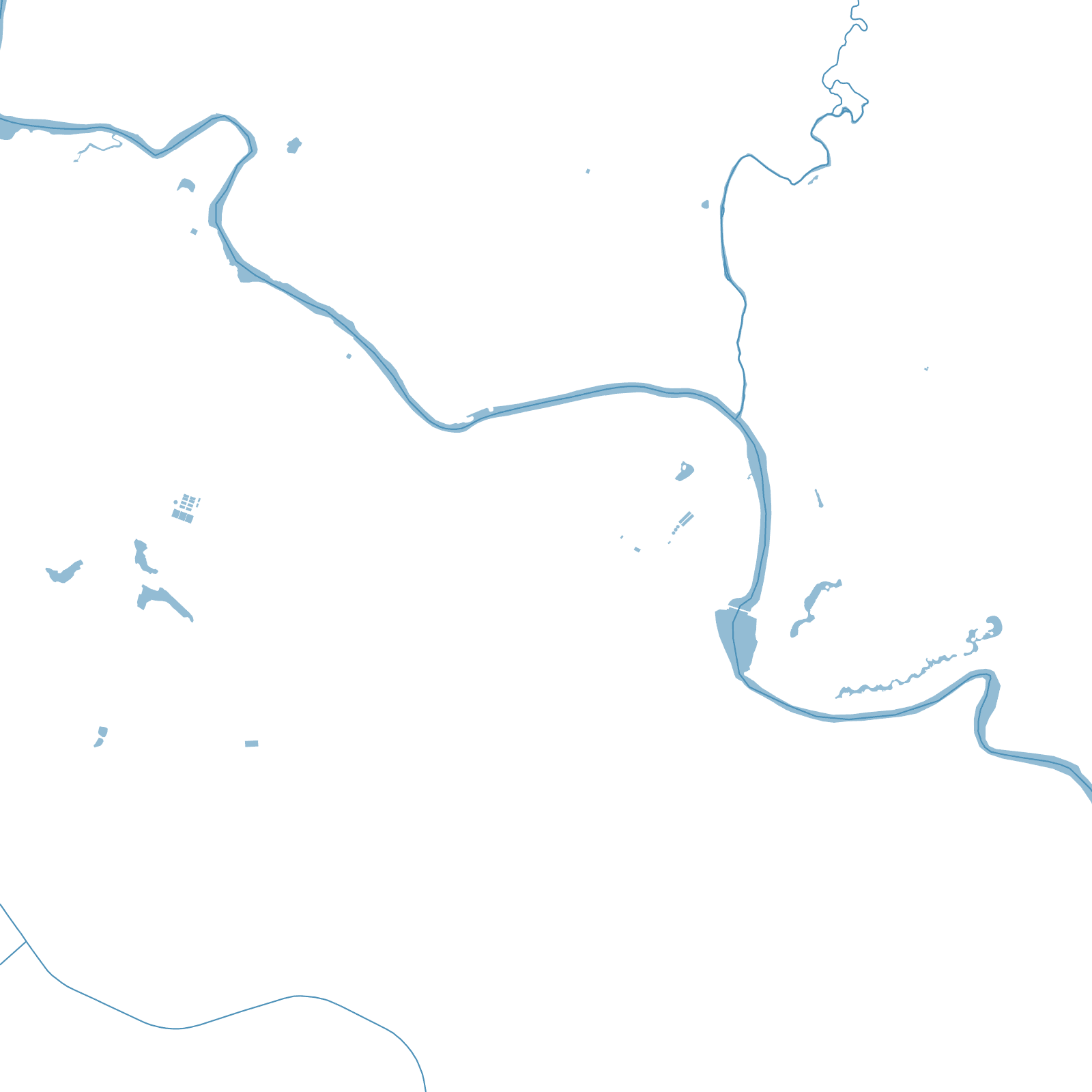
When the Nawabs of Awadh moved their court here in 1775, they built a riverside city of spectacle along the Gomti: the Bara Imambara of 1784 — built as famine relief, containing one of the world's largest vaulted halls — the Rumi Darwaza gate, and lanes of the Chowk bazaar famous for refinement, poetry and embroidery.
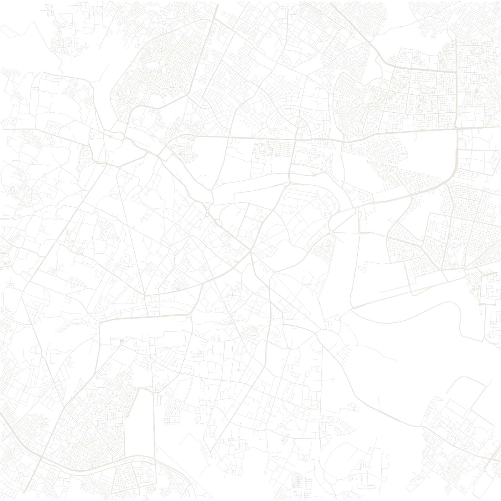
After 1857, when the city endured a long siege, the British reshaped whole districts for control and built their own spine at Hazratganj. The map keeps the layers: Nawabi monuments and dense old quarters by the river, colonial avenues and cantonment to the south and east.
1775became Awadh's capital
1784Bara Imambara built