CITYGRID
city archive
Why it looks like this
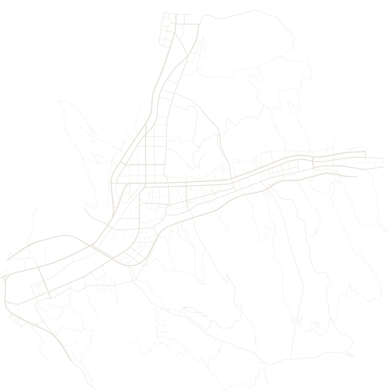
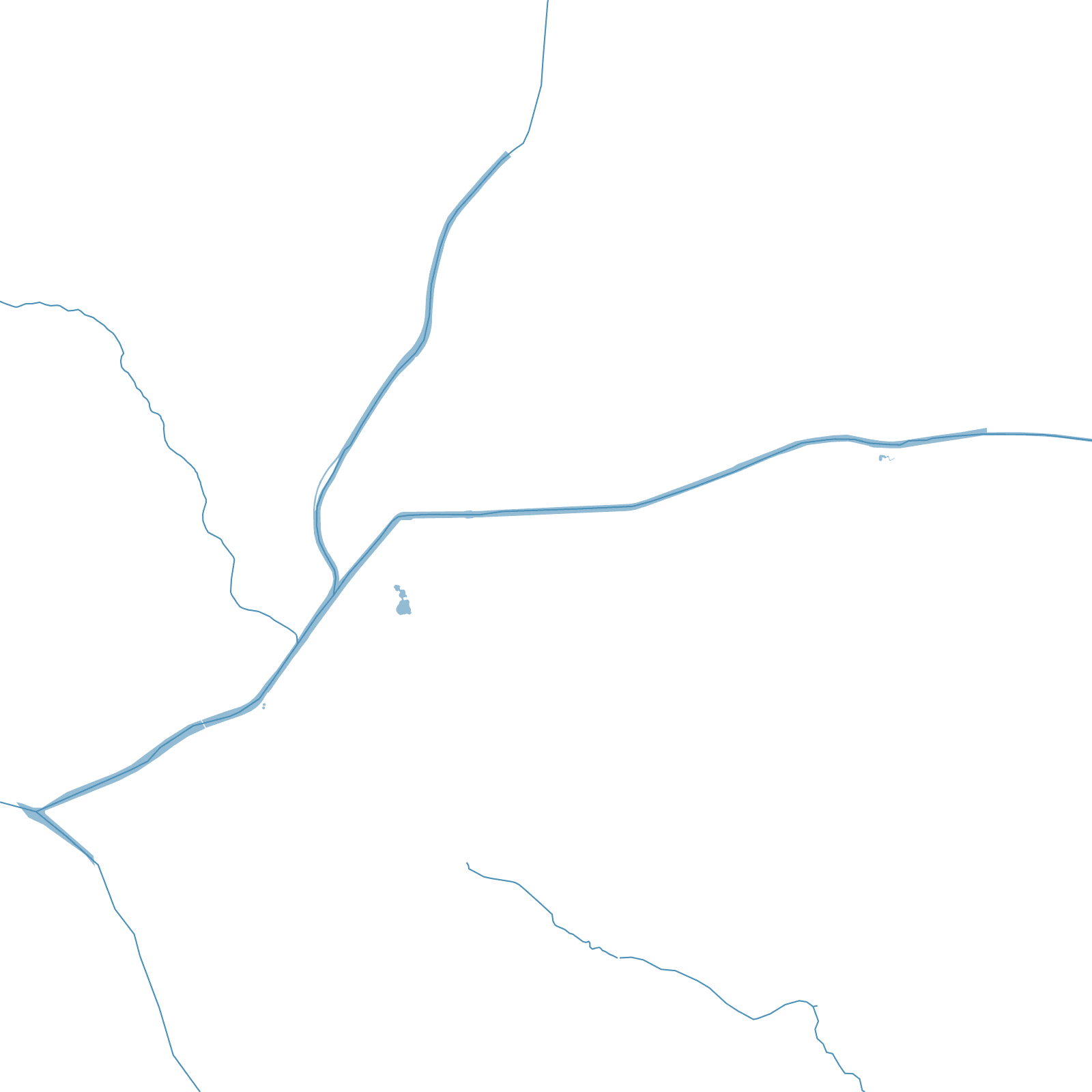
The Lüliang Mountains give the city its name and its shape: this is loess country, soft yellow-earth plateau carved by erosion into ridges and ravines. Flat land is scarce, so the urban districts stretch along valleys, with mining and industry tucked into the side gullies.
The region is one of China's major coal bases, and the wealth (and scars) of mining mark the map — pits, rail spurs and worker settlements strung between the hills.